Month: January 2023

Local to Global: Environmental Remote Sensing Applications

Modern mapping and imagery technologies have a broad range of applications for businesses, governments, farmers, and more. Using drones in combination with various sensors and processing software allows stakeholders to operate more efficiently, collaborate effectively, and make more informed decisions. Environmental remote sensing technology, in particular, has the potential to benefit a significant stakeholder: the earth. 

From the local scale to global efforts to combat climate change, remote sensing for environmental management is having a positive impact on communities and the planet.

What Is Remote Sensing?

Remote sensing is the use of special cameras to collect data to monitor the physical characteristics of an area without coming into contact with it. Remote sensing data is based on the electromagnetic radiation that is reflected or emitted by objects. Visual inspection or software can be used to analyze the data to identify or classify the objects. 

Planes or satellites historically captured aerial images, but drones have made remote sensing even more accessible to more people. Depending on the application, drone sensors might measure infrared or microwave radiation. 

Applications for Remote Sensing of the Environment

Depending on the detection technology being used, remote sensing of environmental metrics can measure temperatures, identify plant species, calculate population density, and much more. These are just a few of the ways remote sensing is being used in environmental applications:

Disaster Relief

Accessing an area after a natural disaster can be logistically challenging, especially when time is of the essence. Teams can use remote sensing to quickly evaluate damage and help them prioritize relief efforts. For example, remote sensing was used in Operation Blue Roof to measure roof damage so responders could provide fast temporary repairs until someone could make permanent repairs.

Disaster Risk Management

Prevention is obviously a better path when it’s possible to avoid an environmental disaster. Remote sensing of environmental conditions helps us better predict extreme weather events and prepare for them. Even if these types of disasters can’t be completely avoided, advance knowledge can reduce the risk of damage to property and people. From tracking storms to identifying areas at high risk for flooding, remote sensing provides the information communities need to prepare for the worst.

Conservation and Ecological Management

Scientists can use remote sensing to identify various plant and wildlife species in an area, allowing them to track trends and monitor changes over time by identifying invasive species, seeing the effects of introducing new wildlife, and mapping sensitive ecosystems. Based on the data collected and analyzed through remote sensing, environmental managers can make informed decisions about when to intervene and how to reduce our impact on the environment.
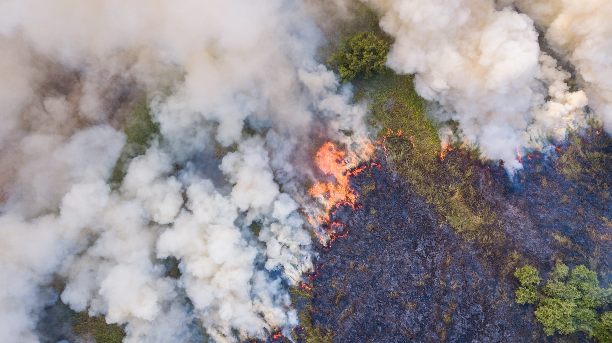
Aerial view of mining area with a drone

Fighting Wildfires

Wildfires are part of the natural cycle in a forest ecosystem, but when they rage out of control or threaten communities, intervention is required. Teams use remote sensing of the environment to identify hot spots that aren’t visible from the ground, so they can address them before they become a real threat. They also use remote sensing data combined with other information, such as wind speed and direction, to make predictions and plan their efforts accordingly.
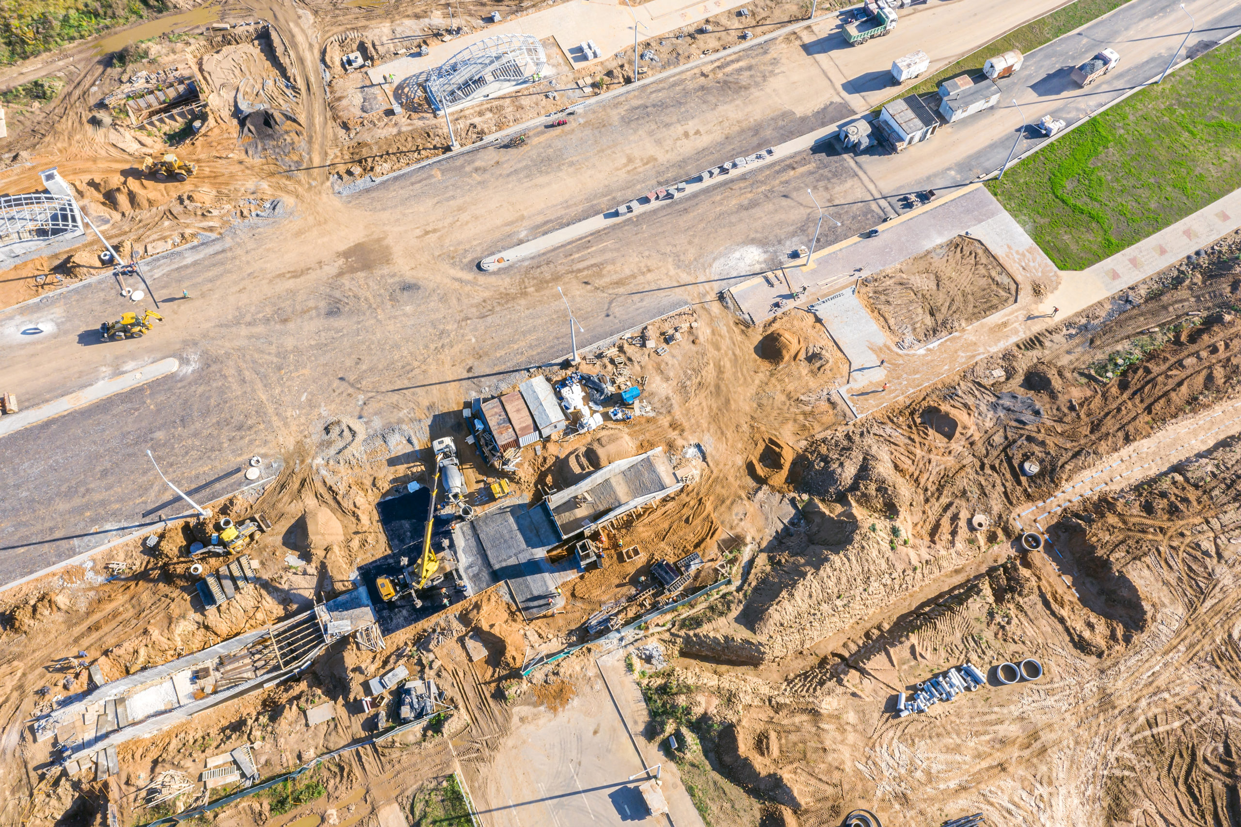
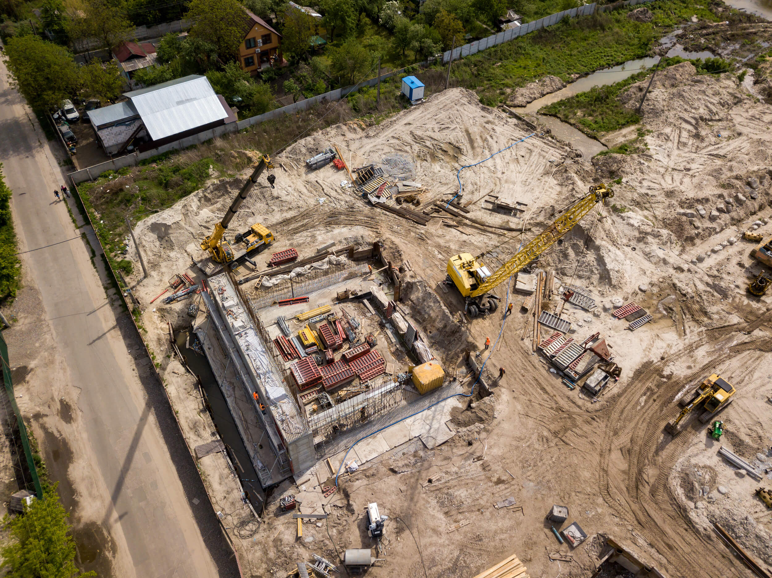
Land Management

Remote sensing can show how land has changed over time, including areas of soil erosion, vegetation density, and other markers used to inform conservation strategies. Land managers can use this data to identify areas with the highest risks and develop plans to address them.

Waterway Management

Remote sensing of environmental factors helps scientists monitor important metrics of our waterways, such as pollution of local rivers and streams and global sea ice levels. For example, scientists are using remote sensing to identify plastic pollution in rivers. 

Remote Sensing with Mapware

Those in both the public and private sectors use Mapware photogrammetry software for a variety of remote sensing of environmental applications in both the private and public sectors. Our AI-powered software quickly processes large remote-sensing datasets, so you can have all the information you need at your fingertips. Cloud-based storage makes it easy for teams to collaborate, no matter where in the world they are located.  

Ready to put Mapware to work for you? Start a free trial today!

learn how the public sector drives innovation with geospatial intelligence and data driven mapping ebook

Drone Photogrammetry Software Terminology to Know

Whether you’re a drone pilot or the person using the images captured by drones, understanding some basic drone photogrammetry software terminology is important to get the most from your efforts. Although many of the software’s functions happen behind the scenes, you need to know how it works to use it to its fullest potential.

Drone Photogrammetry Software Terms

Understanding these key terms is a good place to start when evaluating and using drone photogrammetry software.

An aerial top down view of a road construction site with machinery in operation

Photogrammetry

Photogrammetry is the science of using photographs—usually assembled to make a map—to take measurements, which you can do through visual inspection or the use of software. You can gather photos from ground-based platforms, planes, satellites, or drones, and the type of camera used can range from a traditional RGB camera to a light detection and ranging (LiDAR) camera.

Point Cloud

A point cloud is a collection of data points in space that represent a 3D object or topography. Drone photogrammetry software creates these points from multiple drone images to render a 3D model that captures every feature of an area. 

Orthophoto

An orthophoto is a single aerial image that has been orthorectified, or corrected, for camera distortions and topography. Much like a map, structures in an orthophoto are seen from directly above and do not cast shadows. This allows you to take accurate measurements that you can’t get from an image that has not been orthorectified.

Orthomosaic

An orthomosaic is essentially a group of orthophotos that have been color-corrected and digitally stitched together to make a larger, seamless map, allowing you to take accurate measurements over a larger area.

Engineering drone orthophoto of earthworks progress, building, and crane at construction site

Ground Control Points

Ground control points (GCPs) are physical markers on the ground with known GPS coordinates. Drone photogrammetry software orients your images with these precise points to make maps geographically accurate. GCPs are particularly important if you plan to compare maps over time or if you need absolute geographic accuracy.

Relative Accuracy

Relative accuracy is a reflection of how accurate a point is relative to other points on the same map, and it is important for measuring the distance between two objects or points. For practical applications, it’s important to ensure relative accuracy when you need to measure the area of a roof or the distance between individual plants, for example. 

Absolute Accuracy

Absolute accuracy is the accuracy of a point on a map compared to its actual location. It is important when the points on a map need to exactly match the real-world location. Ensure absolute accuracy when you need to place an object in a specific location or avoid underground lines.

Resolution

Resolution reflects the level of detail on a map, indicated by the number of pixels in the image. Higher resolution typically leads to better accuracy and is an important metric when choosing cameras and photogrammetry software

Benefits of Drone Photogrammetry Software

Before drone photogrammetry software existed, to get an accurate orthoimage or orthomosaic, you had to understand a slew of other terms—not to mention be able to perform the math required. Behind the scenes, photogrammetry software handles the calculations that you used to do manually, and you had to understand photogrammetry concepts, such as:

  • Focal length
  • Exposure station
  • Flying height
  • Principal point
  • Nadir point
  • Tilt angle
  • Isocenter
  • Principal plane
  • Principal line
  • Drift
  • Fiducial mark

Fortunately, modern technology has made what used to be an exclusive science more accessible to architects, engineers, construction professionals, farmers, and more. With drone photogrammetry software, you don’t need to be a mathematician—you just need to understand a few key terms and learn the nuances of the software you use.

Let Mapware Do the Work for You

When you use Mapware Fly for flight planning and Mapware for photogrammetry, you get the benefits of decades of technological development in one easy-to-use package. With our intuitive user interface, you don’t need to know every technical term and mathematical calculation to efficiently gather and analyze the map data you need to advance your projects. 

Ready to put Mapware to work for you? Start a free trial today!

learn how the public sector drives innovation with geospatial intelligence and data driven mapping ebook