Month: April 2019

How Drones Supercharge GIS Management

Intro to GIS and UAVs

Geospatial Information Systems (GIS) are an indispensable tool for many modern industries. With applications in construction, real estate, agriculture, city planning, public health and safety, and more, the diverse capabilities of GIS systems enable them to meet a wide range of business needs. However, GIS relies heavily on the underlying data that supports it, and gathering that data can be burdensome.

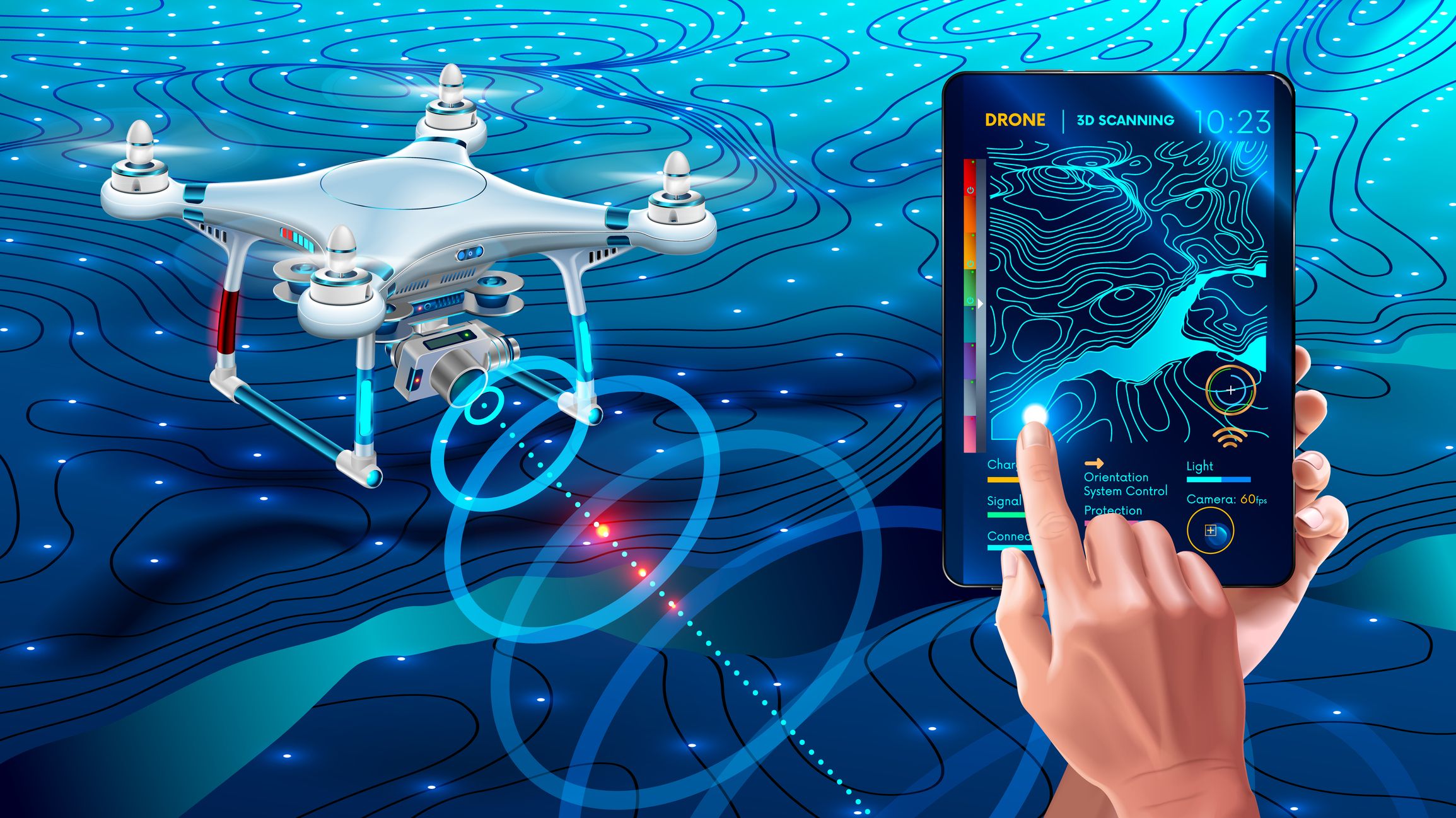
Like GIS systems, drones–or unmanned aerial vehicles (UAVS)–are flexible tools able to satisfy a wide range of professional needs. The advent of light-weight, high-performance drones has disrupted many industries in the past decade, a trend that won’t slow down anytime soon. With the ability to autonomously collect a range of data, businesses of all types are racing to take advantage of drones. In fact, the FAA estimates that by 2022 there will be nearly half a million registered commercial-use drones in the United States (Source: FAA 2018 – 2038 Aerospace Forecast.)

With such new and uniquely augmentative capabilities, it was inevitable that GIS and drone technology would collide–no pun intended. These two game-changers were truly made for each other. A GIS system is only as good as the data you feed it, and UAVs can quickly and inexpensively feed them a stunning array of data. But, utilizing UAVs for data collection is no small task. The type of project dictates the kinds of sensors that are needed, and which type of drone is needed. There’s no one-size-fits-all solution. And, there are other hurdles, including regulatory requirements and software limitations. But, the promise of unparalleled agility in the field makes the time and resources required to set up a UAV program worth it for many GIS professionals.

GIS Data Capture

Most GIS systems rely on a handful of common data-capture methodologies. Vector or raster data can be created from existing maps, but this method runs the risk of digitizing outdated information, thereby placing bad data into the GIS database. There are many modern survey tools, including GPS and Coordinate Geometry (COGO), which have the advantage of providing more up-to-date information.

The proliferation of satellites has enabled a wide range of remotely sensed data to be used for mapping, but satellite imagery frequently displays low fidelity. For geospatial data-collection projects that require high precision and accuracy, there’s simply nothing that can match an aircraft equipped with the latest in high-tech remote sensors.

Airborne remote-sensing instrumentation is frequently used for GIS data-collection projects that demand a very high degree of rigor. Aircraft are equipped with instruments that include hyperspectral imaging spectrometers and Light-Detecting Radar (LiDAR), while high-resolution RGB cameras fly over an area and gather specific types of information. Data gathered by these sensors is used to construct accurate models of terrain and ground features. One popular technique is photogrammetry, where many overlapping photos are taken and used to determine exact measurements between objects.

All of this requires high-precision instrumentation, trained aircraft operators, and favorable weather conditions in order to work. And even then, traditional aircraft are prohibitively expensive to operate and skilled pilots can be difficult to find. There are also environmental and safety concerns. More and more, UAVs are becoming the favored solution for remote-sensing.

How Drones Can Help

In the past decade, UAVs have moved from the hobbyist’s garage into professional industries in a major way. It makes sense, given that drones provide some big advantages over traditional aerial vehicles. The cost savings of using drones is one major draw, as even a top-tier drone chock full of the latest features costs a mere fraction of what a small airplane or helicopter costs. Significant fuel savings add to that bottom line. Drones are nimble, and are capable of hovering in place and accessing small spaces that larger aircraft can’t. Drones can be deployed quickly, and commonly flown routes can be automated, minimizing human involvement (and human error). They’re also environmentally friendly and greatly reduce the risk of damage to persons or property.

How much money can operators save by utilizing drones instead of manned aircraft? One example of what is possible can be seen in the Mesa County (Colorado) Landfill Project, a joint project between the United States Geological Survey (USGS), The Bureau of Land Management (BLM), and the Mesa County Sheriff’s Department. The Mesa County Landfill personnel are faced with the task of reporting waste material volume to the EPA on a quarterly basis.

The cost of utilizing a contractor to fly over the landfill and perform a volumetric compliance inspection amounted to roughly $10,000. The cost of using a drone to do the same task? $300.

The project was so successful that the Mesa County Sheriff’s Office built an entire Unmanned Aerial System (UAS) Team. To date, the UAS Team has assisted with fatality crashes for the Colorado State Patrol, wildfire monitoring for the Grand Junction Fire Department, suspect apprehension, and more.

Maneuverability is another area where drones have a big advantage over manned aircraft. A drone can fly much closer to the ground, and safely, in ways a helicopter or airplane simply can’t. They are small, which allows them to access tighter spaces, and they can hover–a feature that allows them to gather certain types of data more precisely. Many utilities are utilizing drones for precisely this reason. Senior GIS Analyst Eddie Taylor from Santee Cooper, South Carolina’s leading power company, states: “These drones can provide visuals of areas we either cannot or should not access. Transmission rights of way often go through swamps or other areas with limited or difficult access. These drones provide up-close views of the conditions of poles, wires, insulators, and other hardware that may be damaged or in need of maintenance.” (Source: T&D)

Challenges to Starting a Successful UAV Program

While it may seem like there’s no reason for GIS professionals NOT to utilize drones for data collection, starting a successful UAV program is rife with challenges. Despite technological advances, drone tech is still in its adolescence, and has certain limitations. The autonomous nature of driverless vehicles like drones makes them subject to certain types of interference. And, though manned aircraft are subject to far more stringent regulations, drones are also subject to FAA rules of their own. Like their manned counterparts, each drone is different, requiring would-be operators to learn the various ins and outs of the hardware before they can fully utilize it.

The physical limitations of drones are few, but they could be significant. For one, most drones are small, which limits the payload they are capable of carrying. Tempering this disadvantage is the fact that because drones can fly so close to the ground, the sensors they require are smaller and lighter. Nevertheless, if many different sensors need to be used at once, one drone may not be able to do it all, and the amount of data generated by multiple sensors and multiple drones can create another problem drone operators are all too aware of: data overload.

Data overload occurs when there is more data available than can be transmitted or used at one time. Drones are great at collecting a wealth of data, but parsing that data to make it useful–and then transmitting it wirelessly to its final destination–is challenging. The problem scales with data-collection capabilities, too: the more data you can collect, the more difficult it is to organize it and relay it. Software solutions to this issue have emerged, though. Mapware is one company working diligently to make data overload a thing of the past.

Another limitation in drone tech is flight time. Most drones rely on batteries as a power source. Battery technology is improving, but it is still not able to compete with fossil fuels in cases like this. Batteries are also relatively heavy, adding to the payload, and a higher payload means a shorter total flight time. For GIS projects requiring data collection over long distances, drones may not be the best solution.

Because drones are piloted autonomously or remotely, they rely on GPS to triangulate their own position in the sky. GPS navigation of this type is susceptible to data-interruption from solar flares and other forms of wireless interference. And, like any computer system, control of a drone could be seized by hackers to steal information or use it for nefarious purposes.

Government regulation has scared a few would-be UAV operators away from using drones commercially. While in flight, drones occupy airspace–which means they are regulated under the jurisdiction of the FAA. Hobbyists flying “model aircraft” for recreation are not required to obtain FAA approval, but the same is not true for commercial entities. Commercial UAV usage requires operators to obtain operating approval and use FAA-certified aircraft and pilots. Many drones have not been granted certified aircraft status by the FAA, meaning they cannot legally be used for commercial purposes. It’s still not clear what the future holds for UAV regulation. That lack of clarity is discouraging to organizations interested in building UAV programs of their own. This is one major reason why those new to UAVs should consider working with a certified drone operator first.

The Final Word

The ability of GIS to display complex geospatial information in a meaningful way, and UAVs’ ability to collect the requisite data quickly and inexpensively, make these two technologies an outstanding combination. Drones have improved the GIS data-collection process in almost every regard, and will continue to do so for the foreseeable future. But, before GIS professionals can reap the benefits, they must understand the complicated and sometimes confusing landscape that exists in the world of commercial UAVs.

Learn more about the world of commercial UAVs. Contact Mapware

Send in the Drones: How Human-Machine Teaming is Changing Disaster Response

While we have been in an era of rapid technological development for quite some time, we have seen significant maturation of the specific field of artificial intelligence over the last five years. As our access to larger data sets, more advanced hardware, and sophisticated algorithms progress, so too do our robotics capabilities. Defense and disaster response are key areas that will be transformed by artificial intelligence, and those who are able to adopt relevant technologies early – and optimize their use of them – will have major advantages.

There are several specific ways in which remote and automated systems will change the nature of defense and disaster response. Initially, these systems will augment current capabilities by accelerating a shift from manned to unmanned strategies for areas such as data processing, cyber operations, and intelligence, surveillance, and reconnaissance (ISR).

Photo by Neil Thomas / Unsplash

Over time, these remote and automated systems will become advanced enough to work in parallel with legacy systems. Once this side-by-side activity occurs, it will be easier to increase coverage of battlespace as well as the volume of ISR data that can be collected. Likewise, it will easier to increase coverage of a disaster response area.

Eventually, remote and automated systems will supersede some of our current capabilities, making them obsolete. Completely surrendering the human component of specific tasks, however, will require development in artificial intelligence to the point where we can trust that our reliance on remote and automated systems leads to equal or superior outcomes across time and contexts.

There are several aspects of defense and disaster response that will be modified based on advances in artificial intelligence and robotics. Observation is one area that will be revolutionized. For instance, there will be an enhanced ability for sensors and machine learning systems to outperform humans in pattern detection, which will inform us in new and sophisticated ways about the nature of spaces.

However, it is incorrect to assume that battlefields or disaster response areas will be able to be entirely observed, and it is important to remember that information collected from artificial intelligence can be inaccurate or biased. Relying completely on information provided by remote and automated systems can be dangerous, and it is imperative to continually monitor and test the quality and accuracy of the data from these systems. It is also critical to ensure that actions taken with respect to that data are appropriate and maximize the relevant intelligence.

Orientation can also be improved through artificial intelligence and will depend, in part, on determining how to best use monitoring systems in such a way that people do not become cognitively fatigued. The monitoring systems should be utilized so that people can easily become mentally engaged in the case of a crisis on the battlefield or opportunity in a disaster response effort. Creating intuitive human-machine interfaces will be critical for ensuring that this is the case.

Photo by Riccardo Annandale / Unsplash

When humans are interacting with machines, their mental engagement is higher if they are actively searching for a defined object or thing of interest. Ensuring that the human-machine interface is conducive to this type of activity, and that engaging in this type of activity requires as little extra cognitive effort as possible, can help to optimize orientation capabilities.

Decision and action are important end points that can be informed by artificial intelligence. Speed has historically provided advantages in war, and human-machine teams that can use artificial intelligence to rapidly execute deliberate, calculated actions may overmatch their adversaries. When it comes to the battlefield, slower groups are more likely to be detected, to miss essential information about their opponents, and to lack the ability to properly orient to threats or opportunities.

In disaster response, they are more likely to have lower success rates in helping victims and protecting themselves. To enhance speed, human-machine teams must not only have good situational awareness, but must also be able to rapidly determine which remote and automated systems are most appropriate for the task that they need to execute and those which are least appropriate.

As the data that we gather through these systems becomes more vast, it will be a challenge to determine how humans can handle that data effectively and efficiently. Counterintuitive to some, the newest and most expensive algorithms will not necessarily confer the best advantages. Instead, those who have the most effective human-machine teams, with intuitive human-machine interfaces, will have the greatest impact advantage.

The size of our data sets poses challenges for humans and computer algorithms alike. Humans’ mental capacity is not readily equipped to deal with large data or to think deeply in a statistical manner. Uncertainty and ambiguity in data create serious challenges for computer algorithms. As human-machine teams are created, findings ways to exploit the specific and unique strengths of humans and of machines – and in a way that counterbalances the weakness of each – will be of utmost importance.

Determining the best ways to outperform our opponents and to respond effectively and efficiently to disasters will require a high degree of experimentation and learning, as the relationships between technology, strategy, and tactics are complex. On the battlefield, it will require us to not only consider our systems in a vacuum, but also to consider how our systems relate to those that may be used by our opponents. Through experimentation, we will work to mitigate our opponents’ abilities to gain the same advantages. At the same time, we will learn to increase our situational awareness and reduce both physical loads and cognitive loads.

As artificial intelligence becomes more embedded in our approaches to defense and disaster response, a central theme will be what – and to what extent – machines can take over. Humans can never be completely out of the loop because we will evolve our understanding of the best ways to apply machine learning to the battlefield and to disaster response scenarios and will continue to have new questions and need to be involved in the testing of those questions and in the evaluation of relevant technologies.

Nonetheless, given that there are certain types of tasks that computer algorithms can perform more accurately and more efficiently than humans, it’s reasonable to assume that those types of tasks will increasingly be taken over by machines. At the heart of many of these tasks will be data collection and processing. In war and in disaster response, the best human-machine teams will be those that best capitalize on both machine capabilities and human capabilities, and contextualize those to the most timely and relevant challenges.

Contact Mapware to help minimize or eliminate service interruptions or outages.

How Much Does a Service Outage Really Cost a Telecom Company?

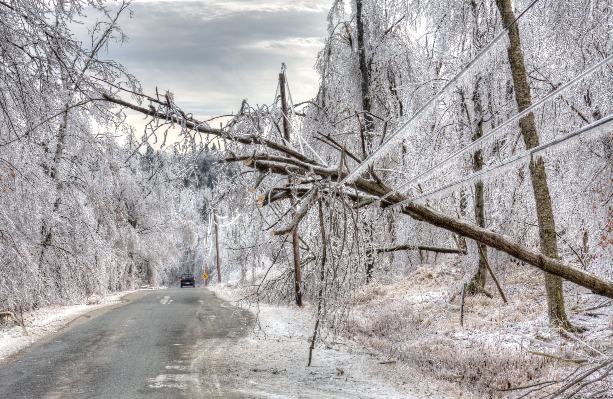
Your customers rely on your service, so when it goes down, every second is crucial. Natural disasters, security breaches, physical link failures, and even hardware/software crashes can cause widespread business disruption. In fact, as with most companies – regardless of industry – that rely heavily on telecom or mobile connectivity, a service outage can shutter many businesses.

Light Reading, a news source covering the communications industry, reported in late 2013 that mobile companies lose $15 billion annually to network outages. That number only increases each year.

In fact, one communications company commissioned an independent market research and competitive analysis report entitled “Mobile Network Outages & Service Degradations: A Heavy Reading Survey Analysis.” It found:

  • 30% of those surveyed are keeping the number of incidents to between one and three a year or one every several months.
  • 34% of respondents report at least 15 incidents a year, or one to two per month.
  • $20 billion a year is spent by mobile operators on network outages and service degradations.
  • More mobile operators are now reporting a higher incidence of outages and degradations that take over 48 hours to fix.

What a telecom service outage means to your customers

A service outage can strike a business where it hurts the most – financially. Angry, frustrated businesses fear outages because they can:

  • Halt internal and external communications
  • Adversely affect the supply chain
  • Disable customer service centers
  • Cripple manufacturing and delivery processes

In addition to the financial cost, a service outage can be a PR nightmare for both you and your customers.

How service outages affect the telecommunications industry

How much will it cost you if your service goes down? Here are a few of the financial impacts:

  • Long-term loss of revenue
  • Angry customers that are dissatisfied with any downtime are more likely to switch to a new service provider. You can potentially lose entire contracts and the revenue that each generates annually.
  • Lost productivity
  • You can calculate the financial cost of lost employee productivity during a service outage. Each employee who stops productivity to work on the service outage costs you. Consider the overtime hours your employees will need to fix the outage, and then to catch back up on their regular workload. Others might incur overtime hours as they try to pinpoint how the outage happened and how to prevent it from happening again.
  • Replacement costs
  • A service outage can adversely affect your hardware and software, rendering them inoperable. It’s an expensive repair bill to replace broken hardware and corrupted software, and it means a longer downtime than expected.
  • Lost reputation
  • A service outage, especially a long one, can irrevocably damage your company’s reputation. For example, if your company suffers a service outage that results in your customers’ loss of data, that makes the front page news on every channel. And that kind of publicity has a negative, long-term effect on your company’s reputation, affecting its future growth.

How to calculate your customers’ revenue loss during a service outage

A simple formula like the following can help you determine each customer’s potential for lost revenue in the event of a service outage.

Consider a stock brokerage firm who moves billions of dollars in trade every day. Even though the New York Stock Exchange is only open around 6.5 hours a day for 252 days a year, their potential for lost revenue is astronomical. While this example might be an extreme, some retailers generate enough annual revenue from operations that a 3% average network outage can cost them millions.

Recent industry network outages

Several high profile network outages over the past few years clearly illustrate the potential fallout.

  • In September 2015, many of Sprint’s customers in the US Midwest could not make or receive calls and texts for over an hour.
  • In August 2015, customers reported outages in AT&T’s fixed and mobile services across several US states for a period of several hours.
  • In July 2015, T-Mobile USA agreed to pay the Federal Communications Commission (FCC) a $17.5 million fine as compensation for outages lasting three hours in August 2014, during which emergency 911 services were inaccessible.

A service outage, even a short one, can have devastating effects on your business. Without access to phones, email, and other critical business systems, your customers’ businesses processes can grind to a halt. When that happens, customers look elsewhere for providers who can minimize or eliminate service interruptions or outages.

Contact Mapware to help minimize or eliminate service interruptions or outages.

GIS, Drone Mapping, and Artificial Intelligence (AI) — The High Tech Behind Business Results

When you couple intelligent algorithms and predictive capabilities with the precision of geographic information systems (GIS) and drone technology, you get razor-sharp analysis on aerial insights. Equipped with advanced mapping software, unmanned aerial vehicles (UAVs) — more commonly known as drones — use sensors to capture, measure, transmit, and store multiple layers of data, detecting trends and patterns in real time.

From infrastructure asset management to disaster assistance, improved insight through geospatial AI is closing information gaps for better, more informed decision-making.

Compared to legacy practices, today’s drone mapping missions are smarter, faster, and more accurate — and that’s translating into time and money.

For innovative companies looking to stay ahead of the curve, the ability to quickly and economically gather location-based precision data is a differentiator. If you’re not innovating, you can bet your competition is. Here’s how GIS and advanced drone mapping software are bringing aerial insights to a broader array of business intelligence applications.

Geospatial AI — Richer Insights, More Accurate Predictions, and Better Decision-Making

Machine-learning techniques — like prediction, classification, and regression — have been applied to GIS for years. But, success often required human guidance in the way of adjusting parameters of algorithms and creating preset definitions. Recent advancements in AI offer richer insights, with new statistical patterns for even better predictive analytics, and autonomous drone mapping for improved efficiency and reduced cost.

For example, geospatial AI can classify land cover in satellite imagery, extracting information at scale. Smart machines understand geospatial surroundings — both images and unstructured textual data — collecting information autonomously and processing it in real time. Analytics powered by deep learning lead to more robust insights, more accurate predictions, and better decision-making.

Real-World Applications of Geospatial AI

Integrating GIS with AI-powered drone mapping allows machines to perceive and understand the world in powerful new ways. Advanced capabilities for collecting, analyzing, and predicting geographic- and location-based data have far-reaching benefits for agriculture, energy, construction, and even emergency response. With automation of both enhanced data exploration and powerful visualization, geospatial AI is delivering robust and timely insights across industries.

Agile Logistics and Supply Chain

eMarketer estimates worldwide retail e-commerce sales will top $27 trillion in 2020. Today’s customers expect faster, more reliable delivery of goods and services. But, beyond retail — from restaurants to pharmacies and everything in between — logistics and supply chain management need to be agile in order to compete.

Drones help streamline logistical infrastructure by tracking weather, traffic, and other external events to optimize the supply chain with insights and predictive analytics, helping anticipate and respond to disruptions. Businesses that embrace AI-powered drone mapping technology realize increased speed and optimized product delivery.

Safe, Affordable Land Surveying

Using near-infrared cameras, surveyors can map land mass quickly and more affordably. Image-optimization software organizes, analyzes, and selects the best images for planning and resource allocation, and drones provide remote access to dangerous or polluted areas that pose risks to humans.

Optimized Construction Planning

Drone imagery improves workflow on construction sites, giving decision-makers spatial data to oversee areas relevant to project planning and reporting. Near-infrared photos deliver real-time field updates, improving workflow and increasing production.

Easy Infrastructure Asset Management

Drone software equipped with machine learning and sophisticated computer-vision algorithms deliver faster, better insights about infrastructure assets. For example, in the wake of a natural disaster, drones can assess structural damages to commercial buildings and properties quickly and efficiently.

Reliable Disaster Assistance

Drones and advanced mapping technologies save lives when disaster strikes. With near real-time situational awareness of people, homes, businesses, and infrastructures during disasters, drones have quickly become a resource that first responders turn to time and again.

Drone and GIS technologies responded to the recent volcanic eruption of Kilauea in Hawaii. Using advanced imaging tools, spatial analytics, and GIS mapping, drones monitored the ongoing eruption in real time, even identifying an unseen fissure. Using thermal sensors technology, data on the volcano was collected and analyzed to predict lava flow rate at night when manned helicopters were unable to fly.

The Takeaway

The U.S. Federal Aviation Administration (FAA) predicts the commercial drone industry will increase fourfold by 2022, with 450,000 unmanned aerial vehicles in U.S. airspace. The market is growing rapidly, and it’s creating a new model for how businesses capture, store, analyze, and display data based on a specific geographic reference.

Paired with smart drone technology, AI can improve supply chain efficiency and optimize delivery, enhance land-survey and infrastructure-inspection techniques, and contribute to disaster assistance and prevention.

In the end, advanced drone mapping technology enhanced by AI creates a better environment for creating and communicating insights to decision-makers and stakeholders. With quick deployment times and low maintenance costs, drones provide a mobile mapping system for collecting high-resolution spatial data that’s easy, cost-effective, and efficient.

Mapware — A Smart Solution to Process and Manage Drone-Captured Data

Want to learn more about how AI and drones can help your business beat the competition? Contact our team of experts. With years of drone data collection experience in the most intense disaster-response situations, we have the tools and operations you need to establish a drone data program that’s successful from the very first mission. Improve your company’s situational awareness, get an edge on competition, and strengthen your defense posture against infrastructure’s ever-changing threat landscape with better, faster information.

Why Telecom and Energy Companies Need GIS Mapping for All Technicians

Geographic information systems (GIS) mapping can revitalize telecom and energy companies by reducing costs and enhancing capital planning. As the U.S. focuses on energy independence, infrastructure efficiency, and better communication systems, GIS mapping can make a difference in managing assets, predicting outages, and deciding where to place infrastructure. Each of these applications requires geography, imagery, and data – all provided by GIS mapping. Teams with wider, easier access to this critical source of business intelligence are becoming increasingly important to business transformation.

What does GIS offer telecom and energy companies?

GIS mapping can positively impact every department in both telecom and energy companies. It allows you to dispatch resources more efficiently, enhance customer service using location data and imagery, and instantly share location data amongst team members. Specifically, telecom and energy companies can:

  • Track
  • Utilities companies must track an enormous amount of location assets over a large geographic area. With millions of customers, such an endeavor is not only mission critical, but also hard to manage. GIS mapping lets energy and telecom companies find the geospatial relationships between their facilities, assets, and ground features. This helps your dispatching be more efficient, resulting in faster customer service.
  • Identify
  • How do you know which circuits are more susceptible to outages caused by weather? With GIS mapping, you can model your solution online, tweak it, and identify the best-case scenario. You’ll improve operations and offer better customer service by implementing GIS mapping into your planning process.
  • Target
  • Your sales and service personnel need to know who and what to target on a daily basis. GIS mapping helps you track hundreds of geospatial data layers to support customers, sales efficiency, and other services. It also helps you correlate each of these layers to visualize and model your customer base and how to expand and grow. Your teams can get information in the field – in real time – on parcels, service outages, and customers’ status.

How you will benefit by using GIS mapping

As an energy or telecom company, you’re responsible for managing and maintaining a large grid of equipment, assets, and customers who depend on your services. You not only need to be responsive during outages, but you also must use a variety of geographical data to plan, manage, analyze, and deliver service to new and existing customers.

Here are a few of the many benefits you’ll experience by using GIS mapping:

1. Facilities planning gets easier

If you have an enterprise-wide system that gives you instant access to geospatial data, you can easily share that information across departments for planning purposes. GIS mapping lets you gather, store, and share a massive amount of information on assets, equipment, inventory, and more to guide your infrastructure development and investment activities.

2. Get real time access to information

GIS mapping gives you real-time access to your most critical information, allowing you to make better and more accurate business decisions. You can more easily analyze the big picture by bringing together disparate chunks of information about current projects. Not only can you track progress much easier, but you can access the data anytime, anywhere, as long as you have an internet-enabled laptop or device.

3. Reduce costs

Your field staff can gather information remotely and share that information with others without leaving the office. GIS mapping services give you a centralized database to track and store locations, assets, inventory, and geographic features – without having to go into the field. If you’re using paper maps to plot routes and generate daily assignments, you can manage repairs, replacements, and maintenance activities and save your company money.

4. Enhance your company’s transparency

Companies today focus on transparency and being accountable. GIS mapping lets everyone involved in a project see the information and analyze it, which is especially important for big infrastructure projects. No longer will your technical engineers and experts need to translate difficult information; with GIS mapping, both external and internal stakeholders can view the data in real time. Everyone involved in the project, from field technicians to management, will have a better, more transparent understanding.

5. Better manage your resources and assets

GIS mapping replaces those old school processes and procedures of field technicians to manage resources and assets. Inspections, maintenance, repairs and replacements become more manageable when everyone in your enterprise can access and share data for an end-to-end view of all assets spread across your infrastructure. Management can better track and share location data with accuracy and efficiency, reducing troubleshooting time and maintenance crew efforts. You can use proactive inspections and more timely maintenance to reduce repair and replacement costs, save employee time, and increase accuracy.

GIS mapping gives you a geographic advantage over your competitors. It boosts work efficiency, helps you stay more productive, and even helps you respond quicker to emergencies. Thanks to the accuracy and accessibility of real-time GIS data, you can shorten your response times and offer better customer service.

If your technicians are spending too much time identifying issues, searching for information, and running from the office to the field and back again, it’s easy to see why telecom and energy companies need GIS mapping solutions that prioritize access to information.

Contact Aerial Applications to learn more about GIS mapping solutions.