Archives
- July 2023
- June 2023
- May 2023
- April 2023
- March 2023
- February 2023
- January 2023
- December 2022
- November 2022
- October 2022
- September 2022
- May 2022
- April 2022
- March 2022
- February 2022
- January 2022
- November 2021
- October 2021
- March 2021
- July 2020
- May 2020
- April 2020
- March 2020
- December 2019
- October 2019
- September 2019
- June 2019
- May 2019
- April 2019
- September 2018
- June 2018
Better photogrammetry software by people who have been there.
Try Mapware’s high-quality, lightning-fast photogrammetry for free. Upgrade to high-value subscription plans as you grow, or contact us for custom integrations, AI/ML development, field services, and more.
The Mapware Story
Mapware got its start on the service side, performing rapid disaster response for large telecoms.
In too many situations, first responders couldn’t see beyond the next blocked road. Some teams were even relying on paper maps and sticky notes to disseminate information, wasting vital time and energy — two precious resources in an emergency scenario.
Something was missing. We didn’t just need to quickly and easily collect accurate data. We needed to make it available to everyone, from leadership to the boots on the ground.
We set out to create better software that takes the limitations and frustrations out of processing, storing, and accessing large amounts of data.
That’s how Mapware was born.
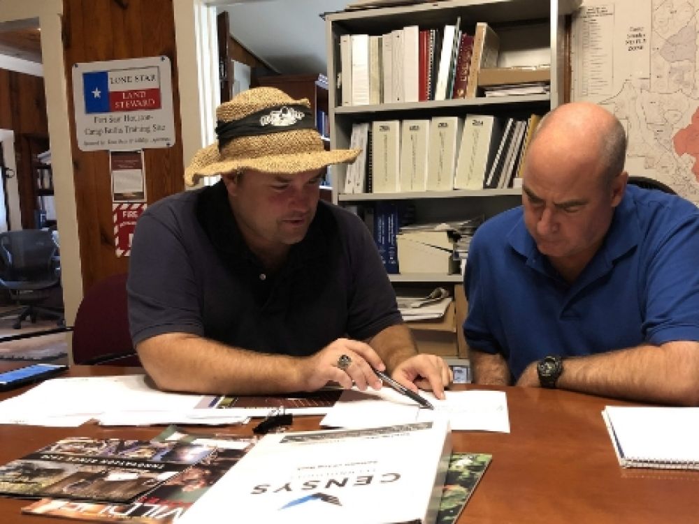
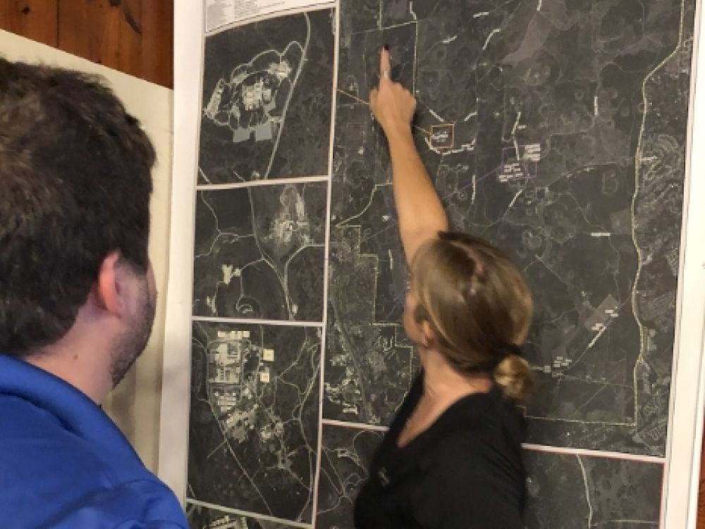
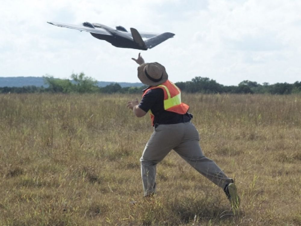
We did drone data collection in the field for years, so we understand what good photogrammetry software needs to do — and built ours to go above and beyond.
Our powerful tech enabled us to transform from a small business to a partner of the Air Force in just a few years.
We continue to pursue innovation with other leading companies in big data processing.
Mapware was one of the first drone companies ever deployed for disaster response in the U.S. We’ve responded to 4 out of the last 5 hurricanes that made landfall.
We’ve built custom, specialized UAS and GIS processing solutions for some of the world’s largest companies and government agencies.
The Mapware team has operated over 1,000 flights and has 5 years of experience with a variety of projects, from pipeline inspections to precision agriculture and beyond.
We’re an American company through and through. Our software is made here, our investors are based here, and we’re proud to be a veteran-friendly employer.
We’re members of ARCNet, FIAC FEDSIM, and AFWERX.
Mapware is committed to protecting the natural world through environmental initiatives and donations to environmental causes.
Interested in working with us?
We’re open to strategic partnerships with government agencies, private businesses, and drone operators.
CAGE code: 83BX3 DUNS number: 07-961-5232
Our Mission
Our mission is to make advanced geospatial intelligence available to everyone, so organizations can perceive, comprehend, and predict the world around them and act decisively within it.
We aim to empower organizations with automation and AI, enabling them to create detailed, accurate representations in the digital world so they can take action in the physical world.

Our Vision
We envision a world where a rich understanding of the physical world is common, and where the digital world can help change the physical world for the better.
As a team, we seek to advance knowledge of the physical world through measurable, searchable, scientifically-sound data.
We believe in people. We believe if we enable people with common, advanced, trustworthy tools of discernment, that they will make decisions that create a happier, safer, healthier world.
Our Awards
Air Force Phase II Strategic Interest award ($6 million in strategic funding)
Alumni of the NVIDIA Inception Program
Alumni of the Capital Factory Accelerator Program
Winner of the MDS hackathon for implementation of AI/ML techniques for image analysis
Recipient of FastCompany’s Innovation by Design Award for Social Good


