Archives
- July 2023
- June 2023
- May 2023
- April 2023
- March 2023
- February 2023
- January 2023
- December 2022
- November 2022
- October 2022
- September 2022
- May 2022
- April 2022
- March 2022
- February 2022
- January 2022
- November 2021
- October 2021
- March 2021
- July 2020
- May 2020
- April 2020
- March 2020
- December 2019
- October 2019
- September 2019
- June 2019
- May 2019
- April 2019
- September 2018
- June 2018
Mapware for the Construction Industry
From the simplest home renovation to a multi-billion-dollar infrastructure project, Mapware’s got you covered. Drone mapping for construction has never been easier.

Build better with Mapware
Mapware supports you at every stage in the construction process, from initial site surveys to marketing the finished structure.
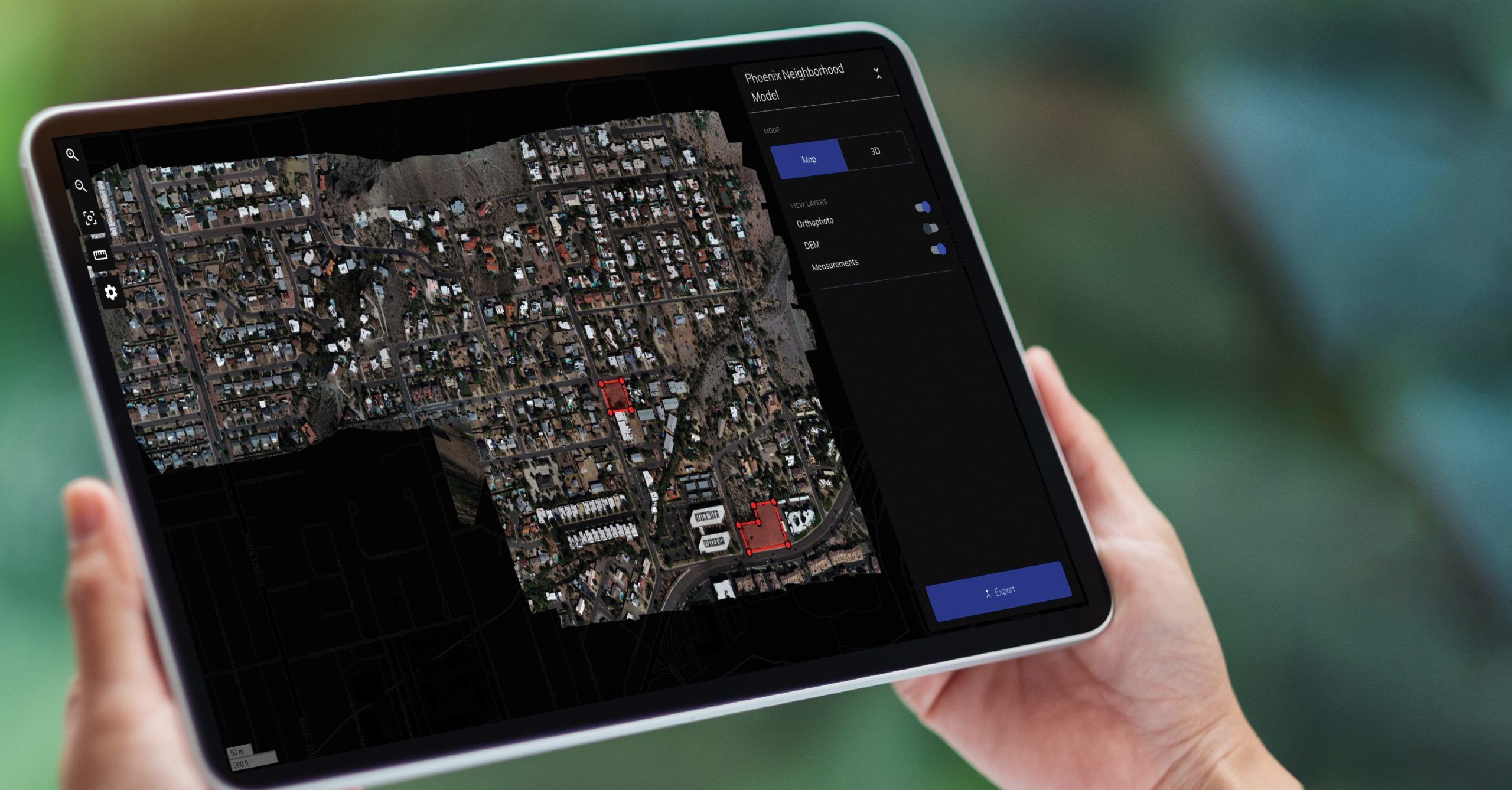
Use Mapware’s detailed 2D and 3D models to inform your design, track and share progress over time, plan operations, and much more.
See Mapware for Construction Live in Action!
Inspect, understand and plan
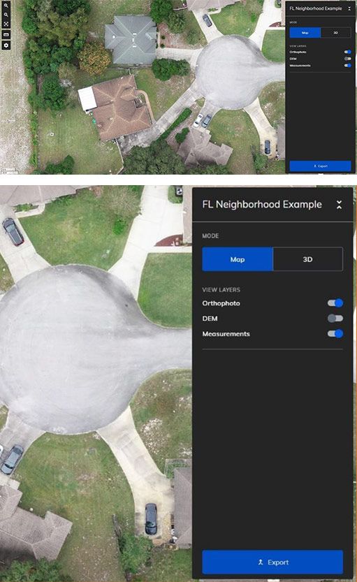
Discover risks and opportunities early with accurate 2D and 3D models that show vegetation, existing infrastructure, topology, and terrain characteristics.
Create 3D models of existing buildings for repair and renovation efforts. High-fidelity models of hard-to-reach places are an invaluable tool for your next home renovation, solar panel installation, or roof replacement project.
Plan earthwork, concrete pours, lifts, and more using Mapware’s 3D models and suite of measurement tools.
Track & share progress
Mapware makes it easy to view changes over time. Store daily, weekly, or monthly models in the same project for easy viewing and comparison.
Show progress to stakeholders using Mapware’s straightforward sharing features and role-based access control.
Compare your Mapware models and orthophotos with your design to identify defects early.
Reliable, cost-effective recordkeeping
Mapware stores your models on the cloud for as long as you want at no extra cost.
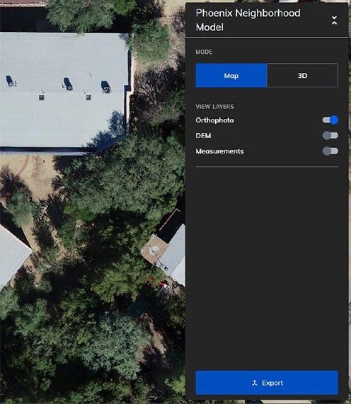
Mapware offers a variety of export formats so you can bring your point clouds, DEMs, orthomosaics, and meshes into the next stage of your workflow.
Don’t see the one you need? Contact us for additional formats—we’re happy to help.Share your models with any number of stakeholders, organized into teams with access levels that support your workflow.
Export formats
Dense point cloud (.las)
Digital Elevation Model (.tiff)
Orthomosaic (.tiff)
Mesh and texture (.obj)
Keep people & property safe
No need to hire a crane to do your inspections—you can use Mapware. Save money and reduce risk by using drones to inspect hard-to-reach places.
Catch accidents before they happen. Use Mapware to identify gaps in your perimeter, out-of-place items, and other hazards before anyone gets hurt.
Use drone mapping to track and monitor assets and materials. With Mapware, you’ll be able to make better-informed informed purchasing decisions and reduce theft.
Simple, flexible pricing
Drone mapping for construction has never been easier. Whether you’re new to drone mapping or a veteran pilot, our subscription options are designed to give you exactly what you need.
With Mapware, you’ll get the enterprise experience without the high upfront investment. Mapware’s cloud storage, super-fast processing, unlimited GCPs, and more are included at every pricing tier.
What’s included?
- Unlimited images per map, exports, and GCPs
- Cloud storage
- Fast, GPU-powered processing
- Access from any number of devices (desktop or mobile)
- Suite of measurement tools
Join our mailing list to stay up to date on the latest releases, product features and industry trends.
Mapware needs the contact information you provide to us to contact you about our products and services. You may unsubscribe from these communications at any time. For information on how to unsubscribe, as well as our privacy practices and commitment to protecting your privacy, please review our Privacy Policy.