Archives
- July 2023
- June 2023
- May 2023
- April 2023
- March 2023
- February 2023
- January 2023
- December 2022
- November 2022
- October 2022
- September 2022
- May 2022
- April 2022
- March 2022
- February 2022
- January 2022
- November 2021
- October 2021
- March 2021
- July 2020
- May 2020
- April 2020
- March 2020
- December 2019
- October 2019
- September 2019
- June 2019
- May 2019
- April 2019
- September 2018
- June 2018
A drone camera app for 3D mapping? Priceless.
The actual cost? Free.
The actual cost? Free.
Flight planning and image capture for high-quality photogrammetry can be difficult. Mistakes cost time and money. Even small errors can impact quality, and larger ones may require redoing an entire mission—a mistake that could mean retaking hundreds of photos.
Mapware Fly makes it easy to do photogrammetry flight planning and image capture. And yes, it’s free.
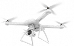
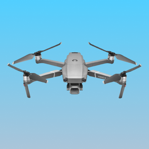
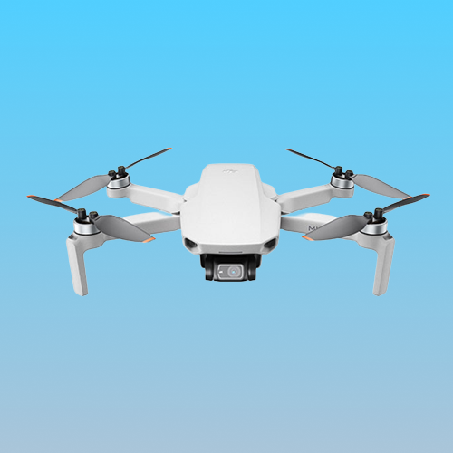
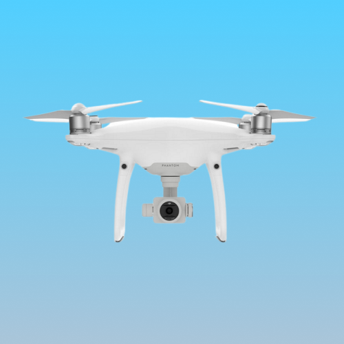
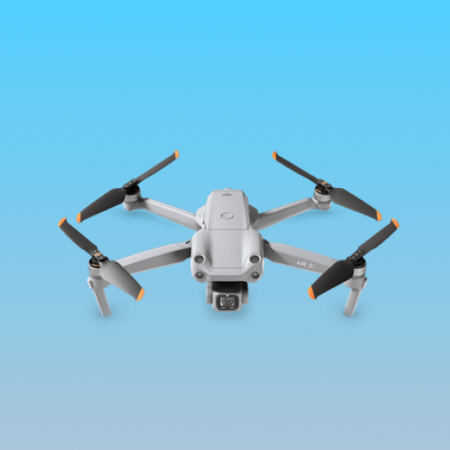
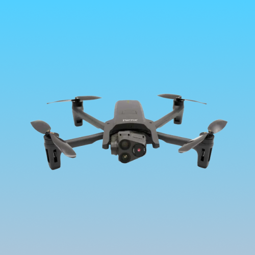
Mapware Fly supports these drones
DJI Mavic 2 Pro

DJI Mini 2

DJI Phantom 4 Pro V2.0

DJI Mavic Air 2
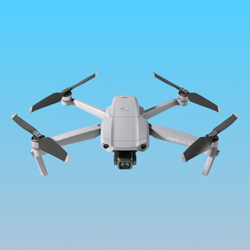

DJI Mavic Air 2S

Parrot Anafi USA GOV

*Click here to view all Mapware Fly compatible device types.
Features
Mapware Fly is loaded with features designed to help you fly photogrammetry missions right—the first time, and every time.
Direct Upload to Mapware
As missions are completed, Mapware Fly can sync the captured images with your Mapware account to turn your photos into accurate, detailed 3D maps and orthomosaics.
Terrain Following
Automatic Flight Paths
Simply draw an outline of your “area of interest” on an interactive map, and Mapware Fly will automatically create the optimal flight path based on your configured flight parameters.
Live Video Preview
Mapware Fly provides a “picture in picture” drone’s-eye-view of what the drone sees to help you ensure that the drone is working correctly, and the mission is going as planned.
Live Telemetry
During flights, Mapware Fly will show you realtime drone telemetry information including horizontal and vertical speed, SD card space remaining, drone battery, and distance to home (takeoff location).
Preflight Checklist
Offline Operation
View Restricted Airspace
Project Organization
Create Missions Without Connected Drone
Cloud-Based Projects
Project and mission data is synced to your Mapware account. This allows you to create a complete or partial mission on one device, log out, and then log in on another device to continue mission planning and execution.
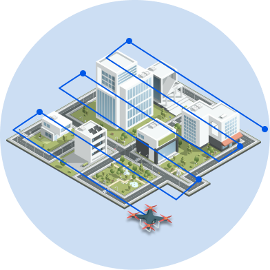

Multiple Mission Types
Increase the accuracy and detail of your captures with multiple mission types like ‘Double Grid’ and ‘Corridor’.
Generate more profit from every UAV mission.
Get your FREE download and start expanding your drone business.
Join our mailing list to stay up to date on the latest releases, product features and industry trends.
Mapware needs the contact information you provide to us to contact you about our products and services. You may unsubscribe from these communications at any time. For information on how to unsubscribe, as well as our privacy practices and commitment to protecting your privacy, please review our Privacy Policy.

