Archives
- July 2023
- June 2023
- May 2023
- April 2023
- March 2023
- February 2023
- January 2023
- December 2022
- November 2022
- October 2022
- September 2022
- May 2022
- April 2022
- March 2022
- February 2022
- January 2022
- November 2021
- October 2021
- March 2021
- July 2020
- May 2020
- April 2020
- March 2020
- December 2019
- October 2019
- September 2019
- June 2019
- May 2019
- April 2019
- September 2018
- June 2018
Resources
Resources
Guides
BLOG POST
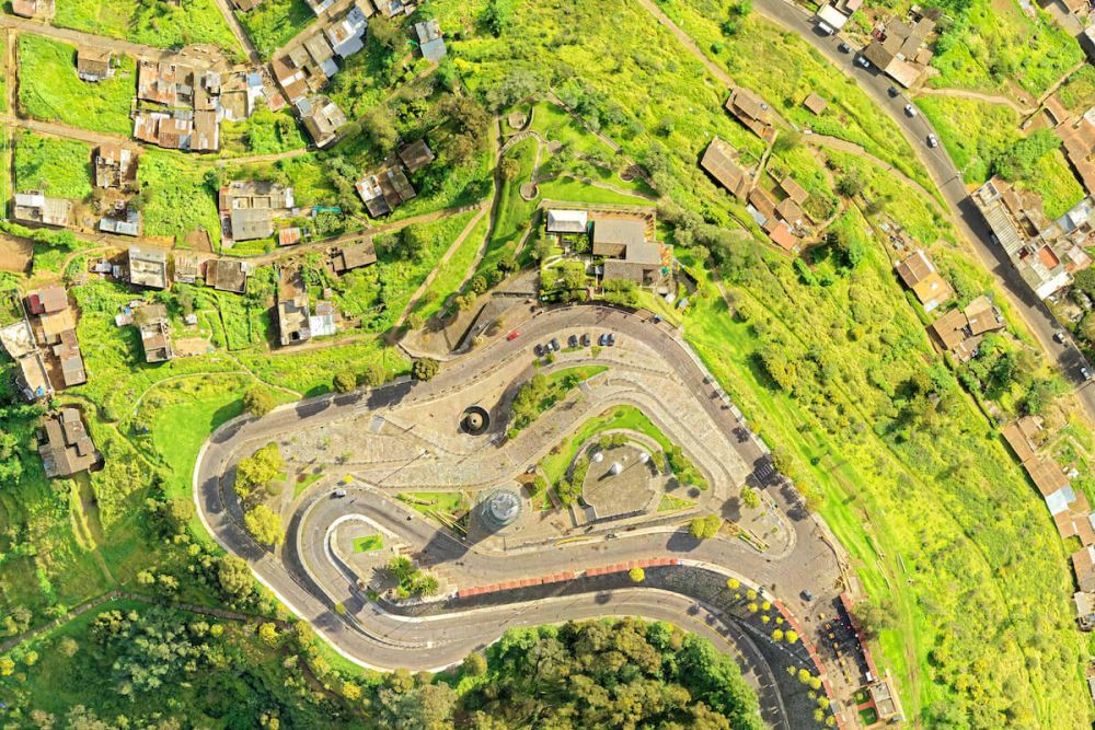
How Are Digital Elevation Models Created?
Sometimes you need to understand the topography of an area without the surface objects such as trees, buildings, and other vegetation and structur…
Stay Connected
Join our mailing list to stay up to date on the latest releases, product features and industry trends.
Mapware needs the contact information you provide to us to contact you about our products and services. You may unsubscribe from these communications at any time. For information on how to unsubscribe, as well as our privacy practices and commitment to protecting your privacy, please review our Privacy Policy.
Copyright © 2023 Mapware. All rights reserved.
Mapware is a wholly owned subsidiary of Robotic Services, Inc.
