

Aerial Intelligence. Actionable Insight.
At Mapware, we are redefining aerial intelligence by providing secure, innovative, and customer-driven solutions. From defense and public safety to critical infrastructure and commercial applications, we empower organizations with state-of-the-art Unmanned Aerial Solutions (UAS) and crewed aerial systems that maximize operational efficiency and data-driven decision-making.
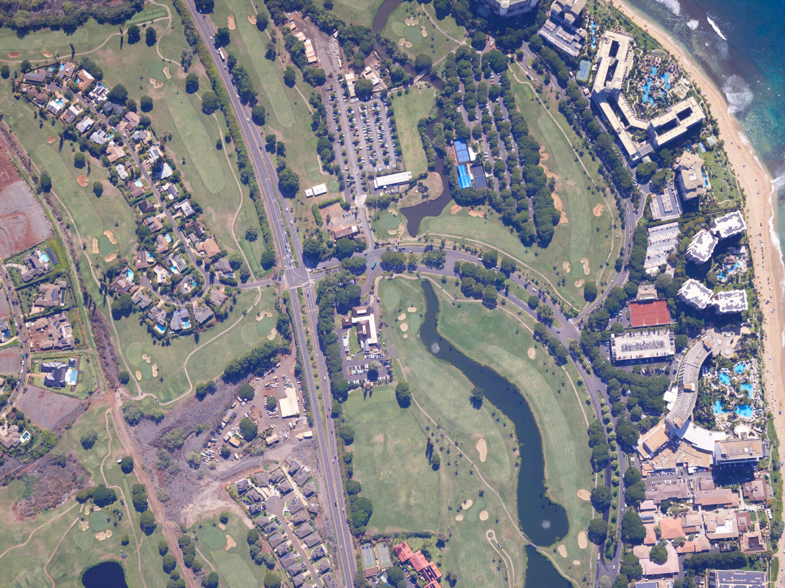
Mapware’s mission is to empower organizations to capture, process, and operationalize high-fidelity aerial data through our U.S.-manufactured sensor platforms and integrated software ecosystem. We eliminate the technical barriers between flight data acquisition and actionable results, combining advanced hardware, precise location integration, and photogrammetric processing to deliver survey-grade insights at scale. Our technology transforms complex environmental and infrastructure challenges into operational clarity—enabling customers to work faster, operate smarter, and adapt to evolving modeling and mapping demands.
Tell us about your aerial mapping requirements, and our team will contact you with additional product information.
+1 (215) 550-1823
info@mapware.com
1511 Aviation Center Pkwy
Daytona Beach, FL 32114
Mapware is a wholly owned subsidiary of Robotic Services, Inc.