Cloud computing exponentially increases the volume of data you can process compared to on-premise machines, and our stable software means fewer frustrating errors and crashes. We make sure your data is always an asset, not a burden. With state-of-the art data centers doing the heavy lifting, you have the power of an ultrafast processing engine at your fingertips to get fast, high-quality results.
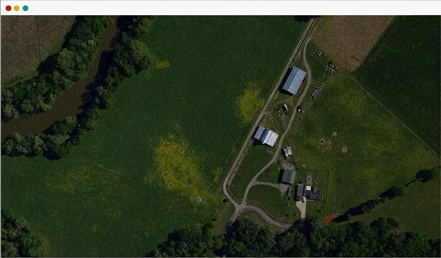
We speed up your map processing dramatically with a GPU-accelerated parallel processing architecture. Our photogrammetry engine uses cutting-edge algorithms and a context-aware task management framework that allows us to optimize across the pipeline, including for longer running tasks. That means you get fast, accurate, high-resolution 3D maps, point clouds, and orthomosaic images, no matter how much data you process.
Thousands of photos? No problem. Mapware doesn’t place arbitrary limits on the amount of data you can process at once. Our data processing engine can handle terabytes and petabytes of data, while letting you create high-quality 3D models through an easy-to-use interface. Just upload your photos, hit the process button, and your model is ready for you in multiple output formats.
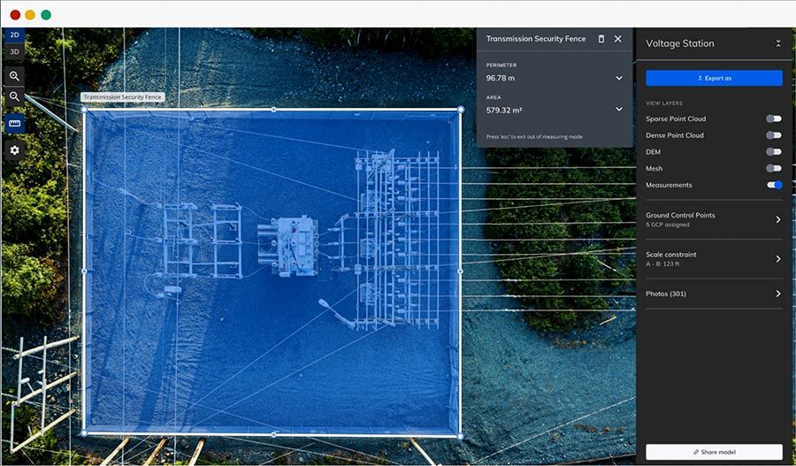
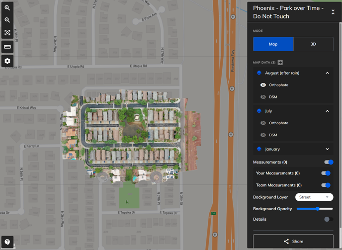
Our software is advanced but super easy to use. A simple interface enables you to view and manage maps across teams and projects. Quickly toggle on and off multiple models and layers within the same map – making it a breeze to compare models over time or for identifying changes in your data. Add users, share projects, upload data, set parameters, and process models fast without slowing down your workflow. Take the headache out of data processing, with various sharing options and access controls.
Mapware is designed to keep your data 100% private and maintain data integrity using advanced real-time network monitoring, unified threat monitoring, and dynamic packet filtering. Our systems are battle tested, with geographically-distributed triple redundancy, backed by industry best practice compliance. Our computational scheduling platform includes context-aware security protocols, for data safety across the entire processing pipeline.
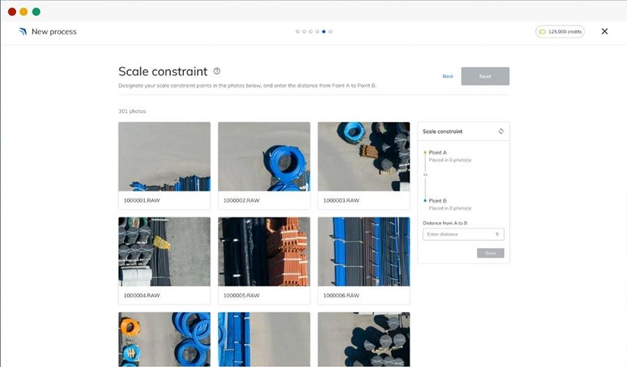
Mapware enables the production of more accurate maps and models by giving users access to tools like ground control points (GCPs) and scale constraints. You can easily include your GPS corrections, set the number of objects to detect, and set your match vector preferences to ensure your models match the level of accuracy each unique project demands.
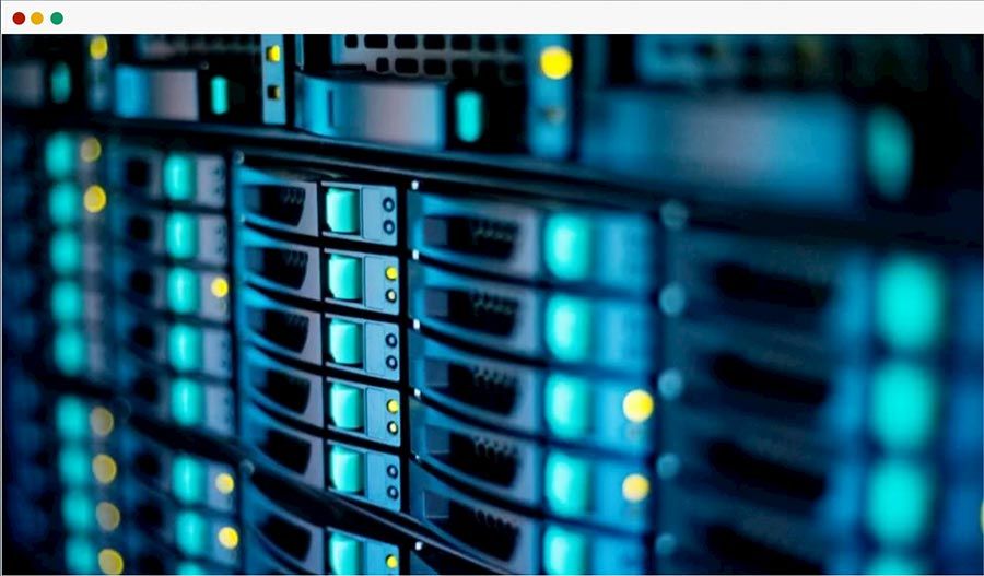
Our data center benchmarked at more than 2,500 teraflops. That means it’s capable of more than 2,500 million million floating point operations per second, which makes us one of the top 100 supercomputers in the world. Our system is designed to support heterogenous computational environments and is fully redundant. It has been battle tested through a series of hurricane response efforts that required processing real time data at lightning speeds.
Join our mailing list to stay up to date on the latest releases, product features and industry trends.
Mapware needs the contact information you provide to us to contact you about our products and services. You may unsubscribe from these communications at any time. For information on how to unsubscribe, as well as our privacy practices and commitment to protecting your privacy, please review our Privacy Policy.