Archives
- July 2023
- June 2023
- May 2023
- April 2023
- March 2023
- February 2023
- January 2023
- December 2022
- November 2022
- October 2022
- September 2022
- May 2022
- April 2022
- March 2022
- February 2022
- January 2022
- November 2021
- October 2021
- March 2021
- July 2020
- May 2020
- April 2020
- March 2020
- December 2019
- October 2019
- September 2019
- June 2019
- May 2019
- April 2019
- September 2018
- June 2018
Mapware for the Insurance Industry

Use Mapware to capture reality, exactly as it is.
Whether you’re protecting a massive office complex or a rental unit, Mapware’s flexible modeling and data storage capabilities can help you inspect assets, manage risk, and make or evaluate claims efficiently.
Mapware’s photogrammetry toolkit enables insurance companies, risk assessment firms, public adjusters, and policyholders to generate detailed maps and models of the physical world, ready for analysis and comparison.
Perform low-cost, high-fidelity inspections
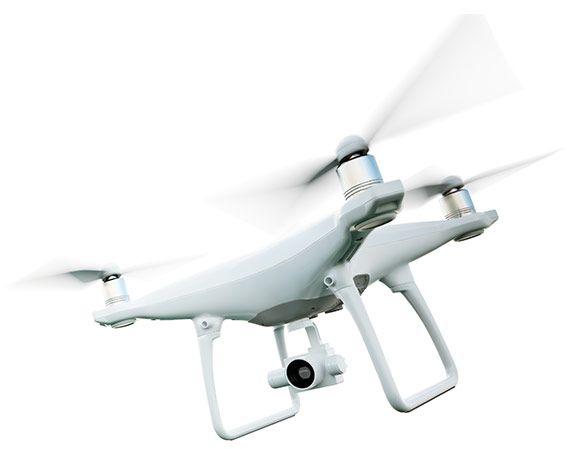
- Drones make inspections faster, safer, and cheaper. With a low-cost drone and Mapware, you can easily discover damage and risks to buildings, infrastructure, crops, and more.
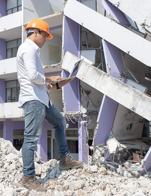
- Rapidly generate 3D models of disaster damage, without putting adjusters at risk.
- Inspect hard-to-reach places with drones and generate immersive models that help you understand the context and cause of events.
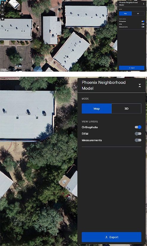
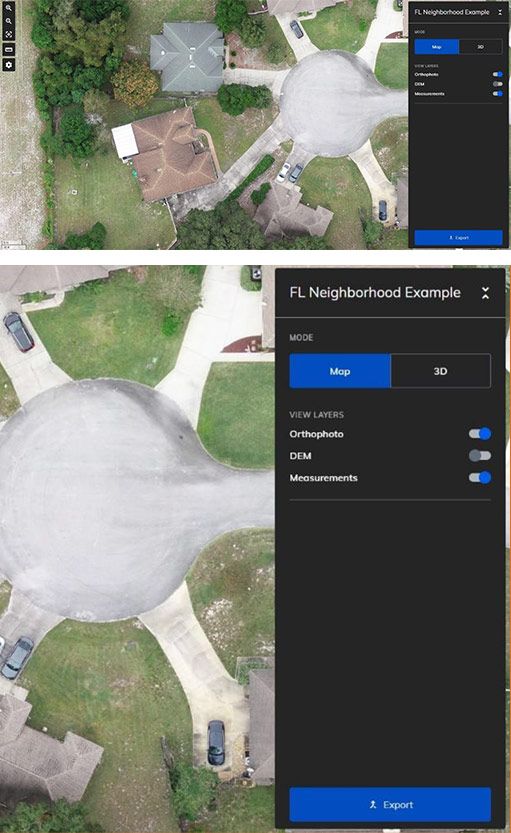
- Use Mapware’s suite of measurement tools to quantify the damaged area, property size, and more.
- Start making models in no time. Mapware’s streamlined, no-fuss user interface has a shallow learning curve, making it easy for anyone to view and create models without a major time investment in learning new software.


Supported file formats
Dense point cloud (.las)
Digital Elevation Model (.tiff)
Orthomosaic (.tiff)
Mesh and texture (.obj)
Maintain trusted records
- We designed Mapware to be a trusted system of record for industries with exacting security and privacy standards. Mapware’s role-based access control and modern cybersecurity processes and controls will keep your data secure for as long as you store it with us.
Mapware stores your models on the cloud for as long as you want at no extra cost.
- Mapware makes it easy to view changes over time. Store daily, weekly, or monthly models in the same project for easy pre-loss and post-loss assessments.
- Take your models with you. Mapware offers a variety of export formats so you can bring your point clouds, DEMs, orthomosaics, and meshes into the next stage of your workflow.
- Contact us for information about custom deployments on our government-approved cloud hosting platform.
Collaborate and communicate with stakeholders anywhere
Share your models with any number of stakeholders, organized into teams with access levels that support your workflow.
Wherever you are in the world, Mapware will follow. Access your maps from any device with an internet browser, whether you’re at your desk or on the move—no need to download any new software.
Compare your Mapware models and orthophotos pre and post claim to identify and confirm event impact.

Simple, flexible pricing
Whether you’re new to drone mapping or a veteran pilot, our subscription options are designed to give you exactly what you need.
With Mapware, you’ll get the enterprise experience without the high upfront investment. Mapware’s cloud storage, super-fast processing, unlimited GCPs, and more are included at every pricing tier.
What’s included?
- Unlimited images per map, exports, and GCPs
- Cloud storage
- Fast, GPU-powered processing
- Access from any number of devices (desktop or mobile)
- Suite of measurement tools
Join our mailing list to stay up to date on the latest releases, product features and industry trends.
Mapware needs the contact information you provide to us to contact you about our products and services. You may unsubscribe from these communications at any time. For information on how to unsubscribe, as well as our privacy practices and commitment to protecting your privacy, please review our Privacy Policy.