Drone Photogrammetry Software Terminology to Know

Whether you’re a drone pilot or the person using the images captured by drones, understanding some basic drone photogrammetry software terminology is important to get the most from your efforts. Although many of the software’s functions happen behind the scenes, you need to know how it works to use it to its fullest potential.
Drone Photogrammetry Software Terms
Understanding these key terms is a good place to start when evaluating and using drone photogrammetry software.
Photogrammetry
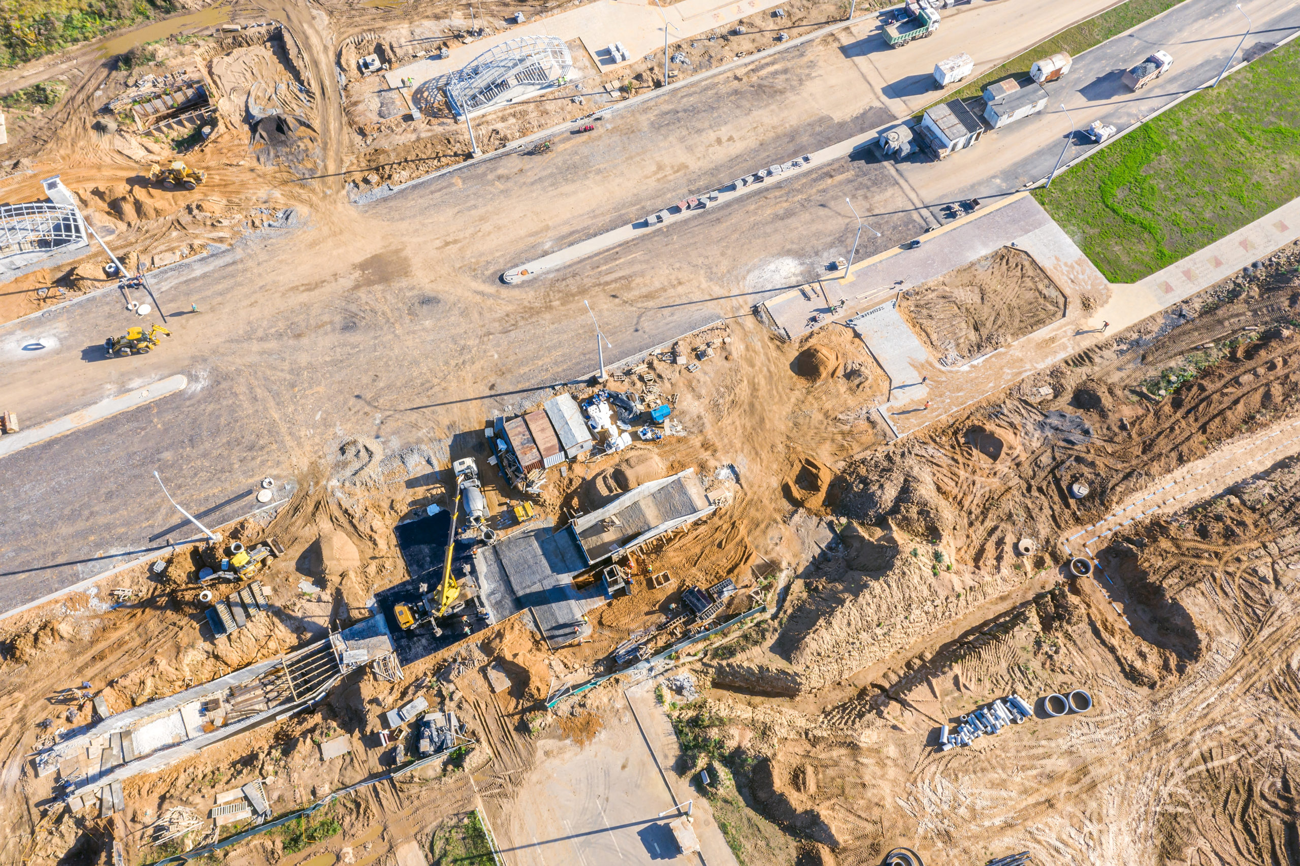
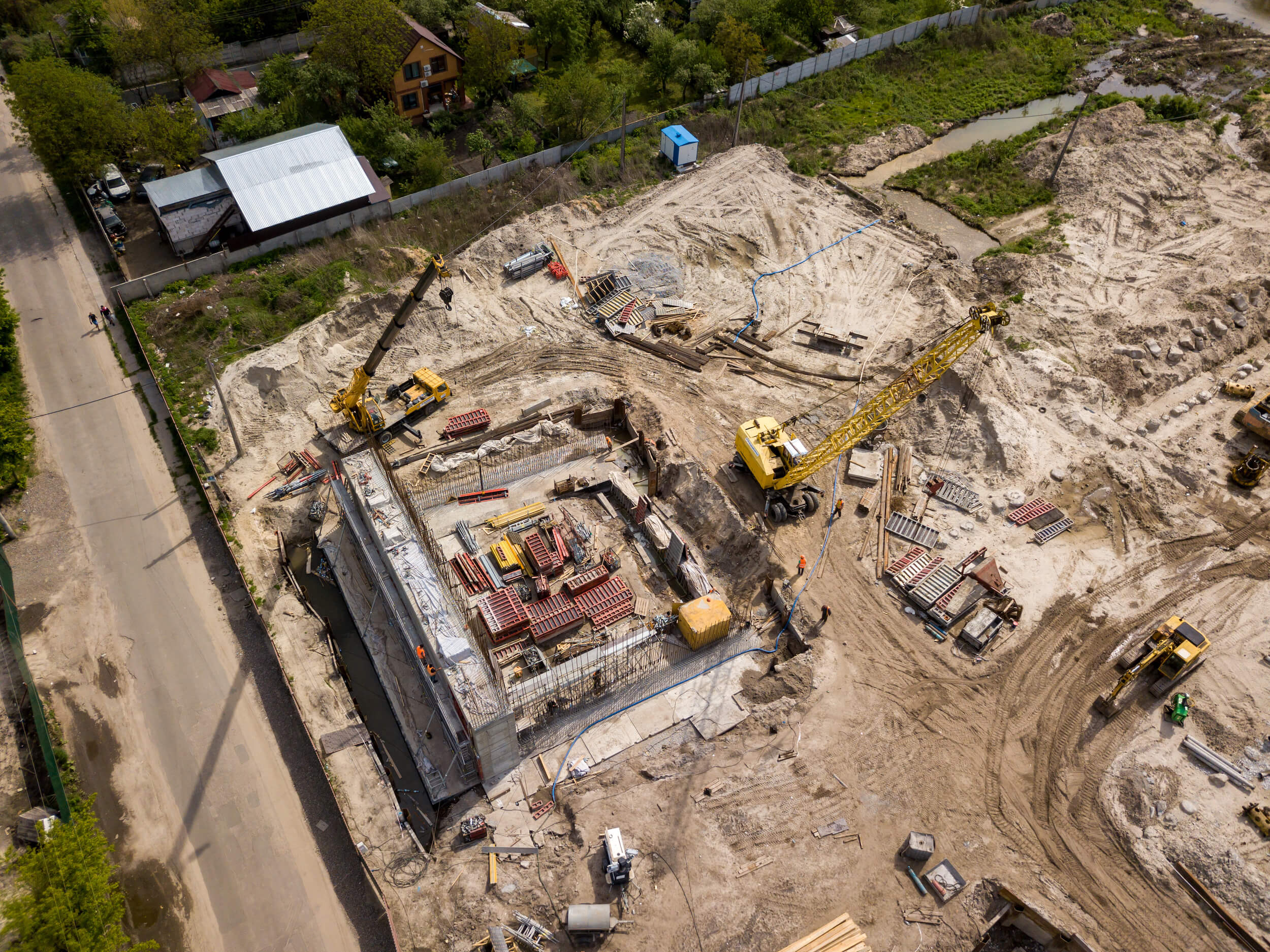
Photogrammetry is the science of using photographs—usually assembled to make a map—to take measurements, which you can do through visual inspection or the use of software. You can gather photos from ground-based platforms, planes, satellites, or drones, and the type of camera used can range from a traditional RGB camera to a light detection and ranging (LiDAR) camera.
Point Cloud
A point cloud is a collection of data points in space that represent a 3D object or topography. Drone photogrammetry software creates these points from multiple drone images to render a 3D model that captures every feature of an area.
Orthophoto
An orthophoto is a single aerial image that has been orthorectified, or corrected, for camera distortions and topography. Much like a map, structures in an orthophoto are seen from directly above and do not cast shadows. This allows you to take accurate measurements that you can’t get from an image that has not been orthorectified.
Orthomosaic
An orthomosaic is essentially a group of orthophotos that have been color-corrected and digitally stitched together to make a larger, seamless map, allowing you to take accurate measurements over a larger area.
Ground Control Points
Ground control points (GCPs) are physical markers on the ground with known GPS coordinates. Drone photogrammetry software orients your images with these precise points to make maps geographically accurate. GCPs are particularly important if you plan to compare maps over time or if you need absolute geographic accuracy.
Relative Accuracy
Relative accuracy is a reflection of how accurate a point is relative to other points on the same map, and it is important for measuring the distance between two objects or points. For practical applications, it’s important to ensure relative accuracy when you need to measure the area of a roof or the distance between individual plants, for example.
Absolute Accuracy
Absolute accuracy is the accuracy of a point on a map compared to its actual location. It is important when the points on a map need to exactly match the real-world location. Ensure absolute accuracy when you need to place an object in a specific location or avoid underground lines.
Resolution
Resolution reflects the level of detail on a map, indicated by the number of pixels in the image. Higher resolution typically leads to better accuracy and is an important metric when choosing cameras and photogrammetry software.
Benefits of Drone Photogrammetry Software
Before drone photogrammetry software existed, to get an accurate orthoimage or orthomosaic, you had to understand a slew of other terms—not to mention be able to perform the math required. Behind the scenes, photogrammetry software handles the calculations that you used to do manually, and you had to understand photogrammetry concepts, such as:
- Focal length
- Exposure station
- Flying height
- Principal point
- Nadir point
- Tilt angle
- Isocenter
- Principal plane
- Principal line
- Drift
- Fiducial mark
Fortunately, modern technology has made what used to be an exclusive science more accessible to architects, engineers, construction professionals, farmers, and more. With drone photogrammetry software, you don’t need to be a mathematician—you just need to understand a few key terms and learn the nuances of the software you use.
Let Mapware Do the Work for You
When you use Mapware Fly for flight planning and Mapware for photogrammetry, you get the benefits of decades of technological development in one easy-to-use package. With our intuitive user interface, you don’t need to know every technical term and mathematical calculation to efficiently gather and analyze the map data you need to advance your projects.
Ready to put Mapware to work for you? Start a free trial today!