Archives
- July 2023
- June 2023
- May 2023
- April 2023
- March 2023
- February 2023
- January 2023
- December 2022
- November 2022
- October 2022
- September 2022
- May 2022
- April 2022
- March 2022
- February 2022
- January 2022
- November 2021
- October 2021
- March 2021
- July 2020
- May 2020
- April 2020
- March 2020
- December 2019
- October 2019
- September 2019
- June 2019
- May 2019
- April 2019
- September 2018
- June 2018
The Aerial Perspective Blog
Drone-Enabled Remote Sensing and Environmental Monitoring

From hand-drawn paper charts to high-resolution aerial photography, we’ve been helping organizations and government agencies track environmental changes and monitor ecosystems for a long time.
The systems that capture and process environmental monitoring data continue to evolve, providing those who can enact positive change with more accurate, actionable insights.
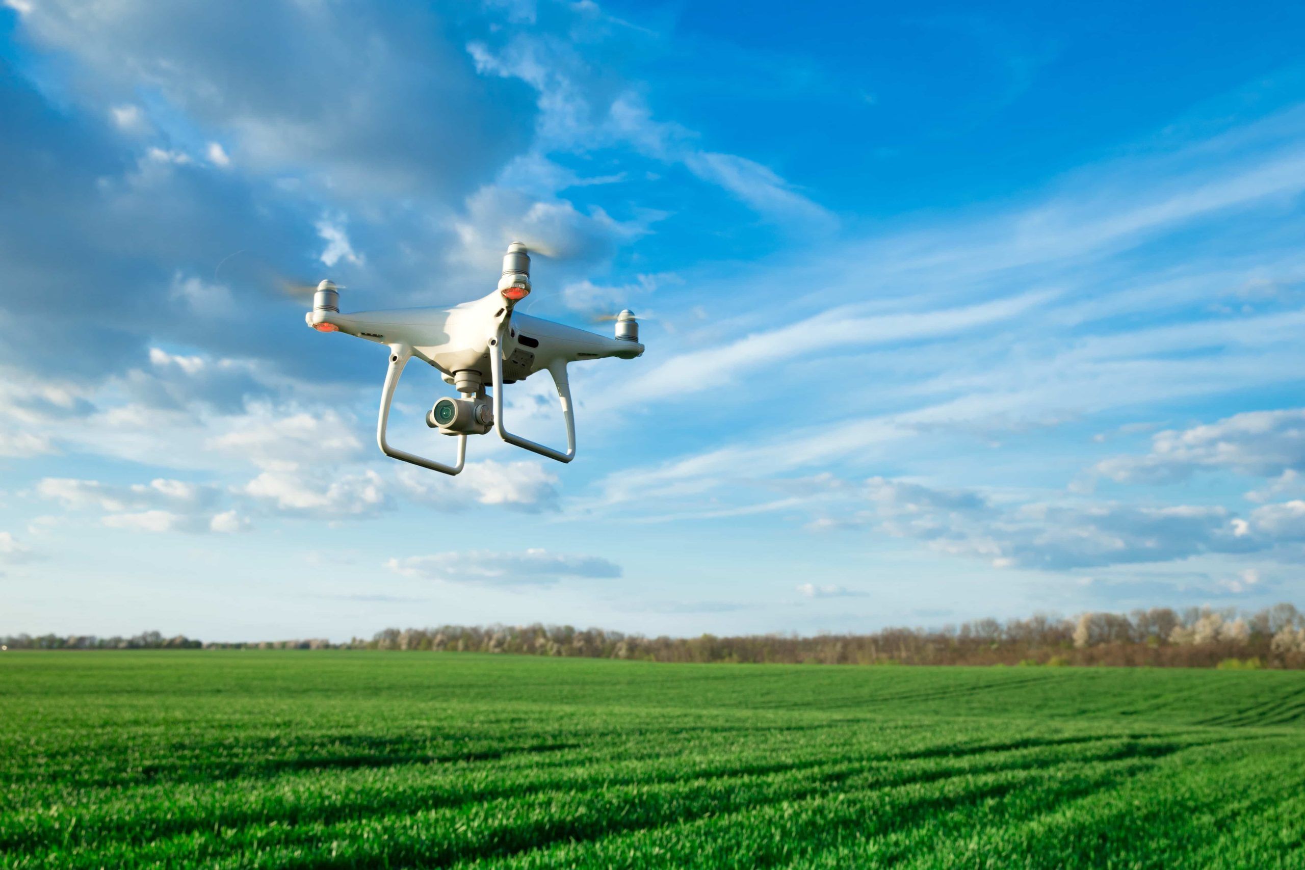
Using drone technology, we can map and survey a variety of environmental factors — land erosion, wildfire risk, invasive species growth, endangered species populations, and more. Organizations can then use the data to make better, more informed decisions that protect humans and nature alike.
In other words, drone technology creates digital environments to help us better understand natural environments.
Improved precision
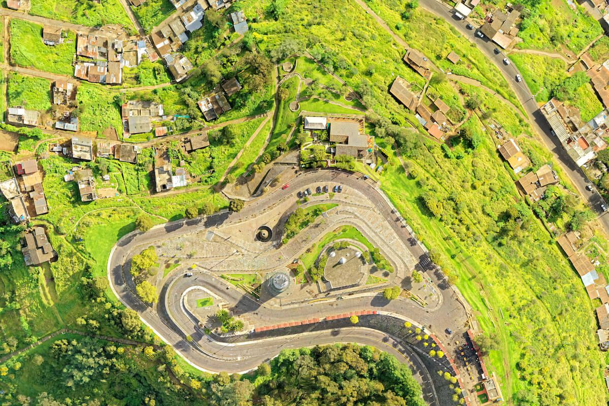
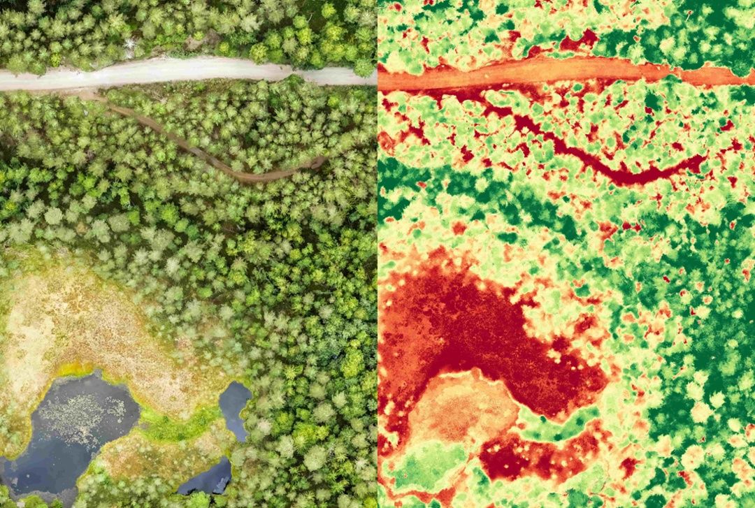
Combining aerial images with geolocation data like light detection and ranging (LIDAR) and infrared imaging creates more detailed, more accurate representations of the environment. This is key for environmental monitoring, because more accurate data translates to better-informed decisions.
The “Epic Duck Challenge” found that drone-derived data are between 43% and 96% more accurate than human-collected ground counts, so drone technology is essential for gathering accurate, actionable environmental information.
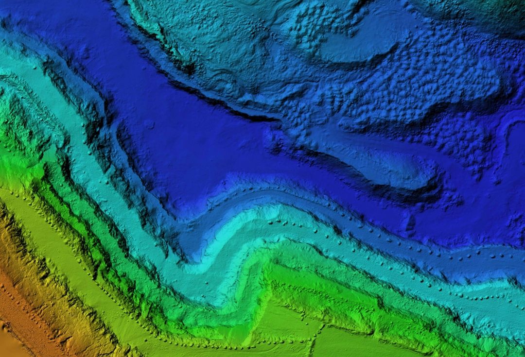
For example, LIDAR technology (which uses laser pulses to collect measurements for 3D models and maps of objects and terrain) can help with coastal erosion monitoring. Drones are used to collect data from very large areas of coastline, allowing scientists to produce high-resolution maps using photogrammetric image processing software.
In a similar vein, Mapware uses drone technology to assist the U.S. Air Force with endangered species conservation and ecosystem health assessment. One of the overall goals of the project is to protect the endangered golden-cheeked warbler by monitoring its natural habitat.
Mapware uses drone technology like digital elevation models, LIDAR, and infrared imaging to create detailed data sets that can then be consulted to help make strategic decisions regarding habitat protection.
Safety and accessibility
Drone technology also allows us to gather environmental information without putting humans (or the environment itself) in harm’s way.
In fragile ecosystems, human disturbance can do unintentional damage. For example, humans may inadvertently disrupt the behavior of endangered species, or introduce pathogens into the environment that can affect wildlife via reverse zoonosis. Drones help researchers avoid doing this kind of harm by putting distance between the humans and the environment they’re examining.
Additionally, without drones, humans often have to navigate dangerous terrain to gather data. Some areas are virtually impossible to reach on foot, and drones offer an alternative way to study them without putting researchers in danger.
The stakes are even higher when trekking through challenging terrain while responding to disasters like oil spills, wildfires, and floods, or tracking heavily armed poachers. In these cases especially, it’s far safer to gather data remotely.
Looking to the future
While the use cases for drone-enabled remote sensing and environmental monitoring are promising, there is still a lot of work to be done.
For now, this type of monitoring should be completed with careful planning and oversight by the proper agencies (like the EPA and the U.S. Air Force), not by everyday consumers or activists.
Social implications of drone use, including concerns about privacy, safety, and the psychological well being of both humans and animals, require attention and further investigation as this technology continues to evolve.

Join our mailing list to stay up to date on the latest releases, product features and industry trends.
Mapware needs the contact information you provide to us to contact you about our products and services. You may unsubscribe from these communications at any time. For information on how to unsubscribe, as well as our privacy practices and commitment to protecting your privacy, please review our Privacy Policy.


