UAV Mapping & the Benefits of Drone Technology

Technology has changed the ways we do almost everything. In the past century, drones— also known as unmanned aerial vehicles (UAVs)—have evolved from radio-controlled devices used primarily for military purposes into widely accessible tools used by governments, organizations, and individuals for research, monitoring, recreation, construction monitoring, and more.
One particular function, UAV mapping, has a broad range of applications that are improving outcomes in a variety of industries.
What Is UAV Mapping?
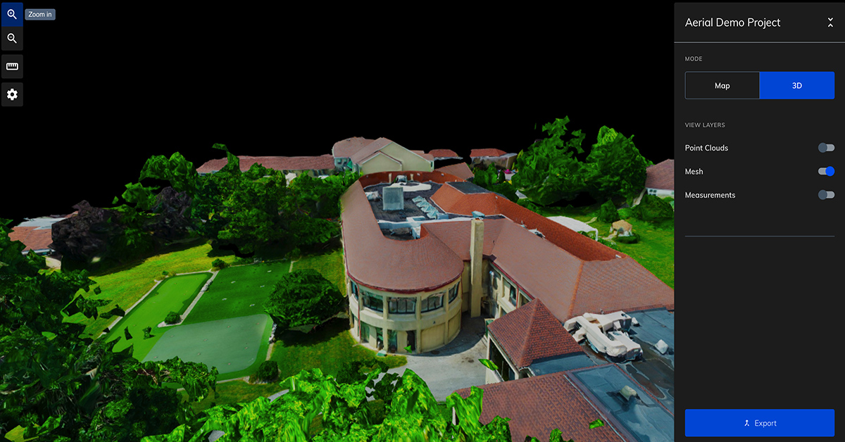
UAV mapping is the use of drones with cameras and photogrammetry software to provide accurate geospatial intelligence about an area. Images are collected and then stitched together to provide maplike 2D orthomosaics and 3D models. Because the maps use photos, users can get near-real-time information about the area. The data can be integrated with other software, maps, and images, for tasks such as:
- Taking measurements
- Detecting change
- Identifying anomalies
- Calculating distances
Whether used in the public sector or by private companies, UAV mapping is changing the way we do business.
UAV Mapping in the Real World
UAV mapping has been used for a broad range of applications, and more use cases are being tested every day. Examples of Mapware UAV mapping in action include:
- Emergency management after a natural disaster to assess and prioritize damage to buildings and infrastructure
- Virtual reality for mission planning and safety hazard identification after disasters such as wildfires and floods
- Infrastructure damage assessment to improve safety and response time for disaster recovery efforts
Whether being used by utility companies, private enterprises, or regional governments, UAV mapping delivers real-world results that help protect employees and citizens alike.
Benefits of Drone Technology
Mapping has historically been done with satellites, planes, and on-site techniques that require specialized equipment. With drone technology and photogrammetry software, mapping can be achieved much faster, cheaper, with more accuracy, and with more flexibility and safety.
Speed
Unlike planes and satellites, drones can be deployed in a specific area any time. They can be preprogrammed with flight patterns to improve efficiency and ensure consistency, and they don’t require you to wait for satellite locations to align with your site.
Cost
Drones require smaller teams—and, therefore, smaller budgets—to deploy. Sometimes just one person can execute the mission, and there is no need to send people into the field with specialized equipment. UAV mapping also eliminates the costs related to flying planes and purchasing satellite imagery.
Accuracy
Photogrammetry software automatically corrects for perspective, camera angle, distance, and other factors to provide accurate 2D and 3D maps. What used to require specialized expertise and days or weeks can now be done with better accuracy in a matter of hours.
Flexibility
Drones can fly below cloud cover, between buildings, under trees, and even inside active construction sites to gather information. They can also be used when planes and satellites are not available, or if there is limited visibility.
Safety
Unmanned aircraft present fewer risks than flying planes. Field inspections can also be performed remotely and around construction sites from various heights, reducing risk to individuals.
Mapware Makes UAV Mapping Easy
Whether you need the security of a U.S.-based software company, an easy user interface, or the ability to process massive amounts of data, Mapware offers all of this and more. Our cloud-based platform makes it easy for you to quickly capture, process, and share map data with the people who need it most. We work with professionals across a range of industries, including government agencies, to help teams work faster, smarter, and more efficiently.
The best way to see if UAV mapping with Mapware is right for you is to test-drive it yourself. Start a free trial today!


