Archives
- July 2023
- June 2023
- May 2023
- April 2023
- March 2023
- February 2023
- January 2023
- December 2022
- November 2022
- October 2022
- September 2022
- May 2022
- April 2022
- March 2022
- February 2022
- January 2022
- November 2021
- October 2021
- March 2021
- July 2020
- May 2020
- April 2020
- March 2020
- December 2019
- October 2019
- September 2019
- June 2019
- May 2019
- April 2019
- September 2018
- June 2018
The Aerial Perspective Blog
Five Reasons to Beta Test Mapware Fly Right Now
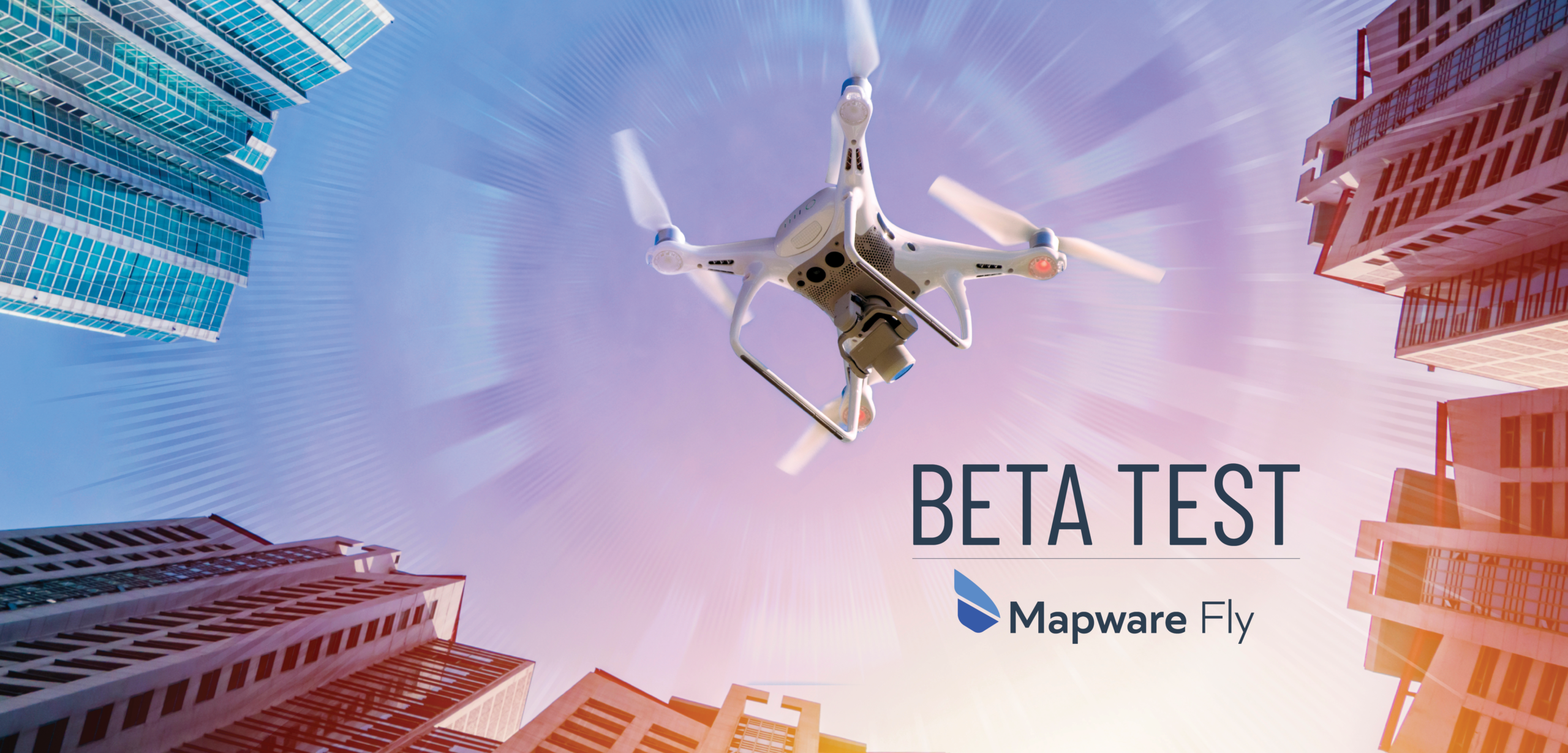
We’re building a brand-new automatic flight control, navigation, and image capture app for drone photogrammetry and we’re looking for pilots to beta test it. Here are five reasons you need to sign up literally right this minute.
Introduction
Hold on, let me get this straight… you need reasons to take your drone to the park on Sunday and use cutting-edge flight control software to generate 3D digital twins that you can then email to your friends, all while bragging that you are helping usher in the metaverse?
No problem! Below are five good reasons to sign up as a Mapware Fly beta tester.
(Then again, if you can’t wait to get started, click this link to sign up now: https://bit.ly/3EdtN0R.)
1) Free Photogrammetry for 3 Months
As a beta tester, you’ll get to use our cloud-based photogrammetry platform for free for three months. This is the equivalent of a three-month subscription to our Mapware Solo Plan, which would normally cost $417.
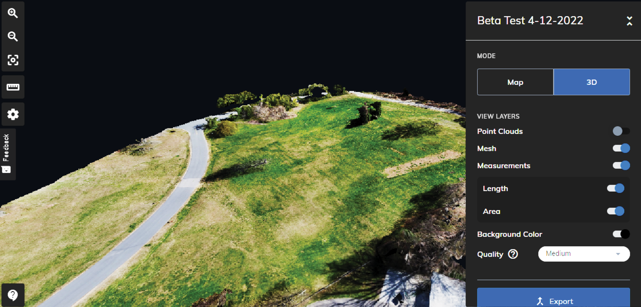
This means you can turn all the drone photos you collect during the beta test into 3D “digital twins” of physical spaces — a lot like the realistic environments in Microsoft Flight Simulator but representing whatever site you fly over.
While your Solo plan is active, there’s no limit to the number of times you can download these digital twins from Mapware. You’ll have plenty of chances to impress your friends.
2) Feel Like a Test Pilot
Unless you have an engineering degree and thousands of flight hours, you probably don’t often get to fly drones equipped with experimental software. This is your chance to break out those Ray-Ban sunglasses and add a little swagger to your step.
In all seriousness, the more intelligent eyes we have on Mapware Fly, the more we can perfect it to serve real-world drone mappers. If you’re a responsible pilot, an analytical and systematic thinker, and opinionated about your toolset, we’d love to have you onboard.
3) Help Us Build the Tool You’ve Always Wanted
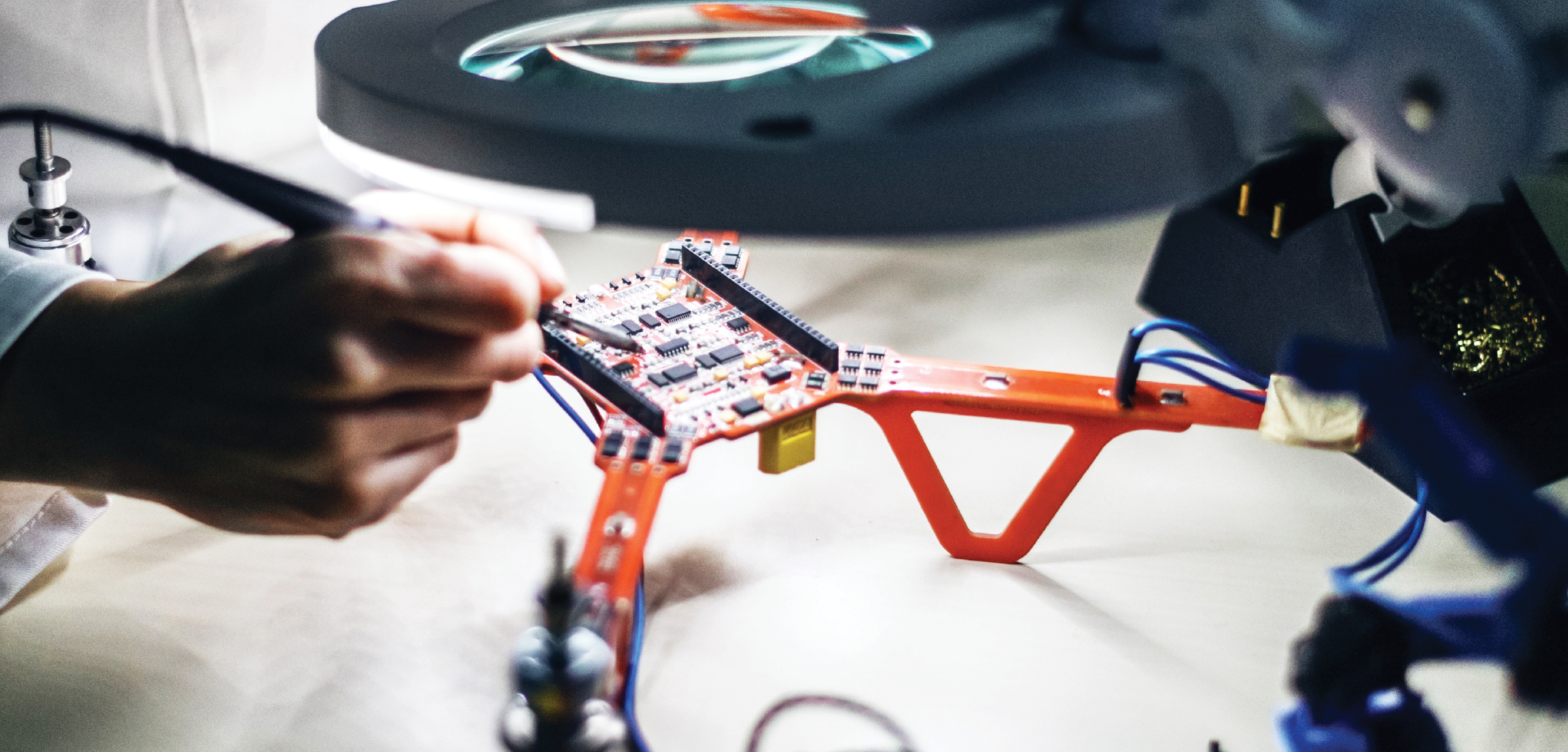
Unless you’re new to drone mapping, you’ve probably already used similar apps for photogrammetry image capture. If you’ve ever been dissatisfied by complex menus and submenus, unhelpful telemetry readouts, or inadequate features, this is your chance to help us build a flight app you’ll actually enjoy using in the field.
Early testers have told us Mapware Fly is intuitive and simple. But it can get even better with your help. In fact, you can help us steer our design, not just refine it. Perhaps you’ll propose a new feature we (and other app designers) haven’t thought of yet.
4) Explore the Drone Mapping Career
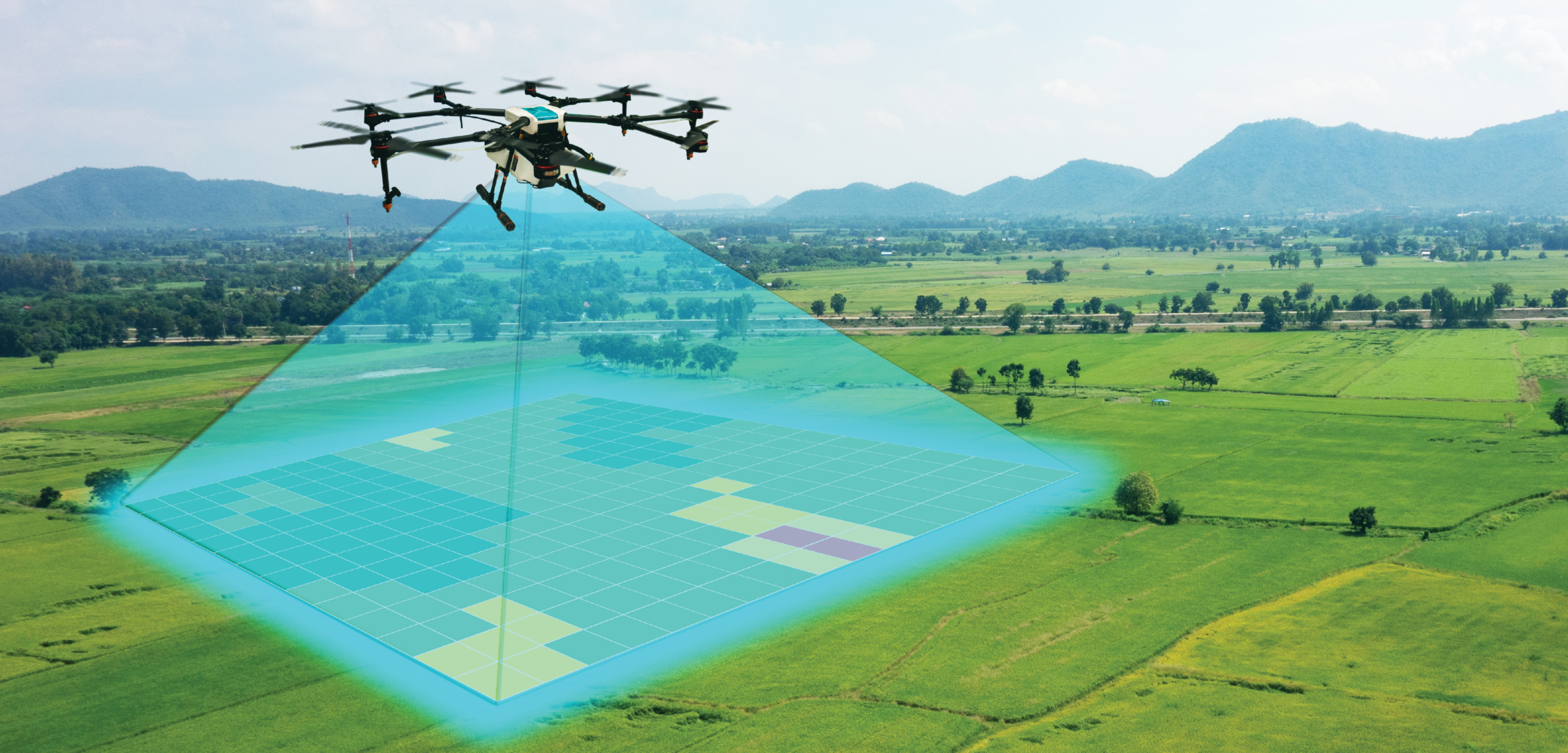
With the “metaverse” concept becoming commonplace and the growing interest in recreating practically everything as a digital twin (from single-family homes to entire cities like Dubai), drone photogrammetry will become a major income stream for pilots.
If you’re a newly minted Part 107 pilot looking for your first business idea, photogrammetry may seem too exotic and out of reach. Most people don’t even know what the word means. By signing up as a beta tester, you can try drone mapping out with minimal risk. Mapware Fly walks you through the flight planning process and does all the image capture work for you. Who knows — maybe it will inspire you to go pro.
5) You Have a Mavic 2 Pro, Phantom 4 Pro V2.0, Mini 2, or Mavic Air 2
If you sign up with a DJI Mavic 2 Pro or DJI Phantom 4 Pro V2.0, you can test Mapware Fly right away. These are the first airframes we made compatible, and they will offer you the full experience.
If you sign up with a DJI Mini 2 or DJI Mavic Air 2, you won’t have to wait long. We’re finalizing compatibility with those drones right now and we’ll notify our beta testers as soon as we feel the app is ready. FYI, we expect Mapware Fly to be the first free photogrammetry flight app to work with the DJI Mini 2.
If you don’t have any of the above drones, we’d still love to hear from you. Your survey response will help us prioritize which airframes to support next.
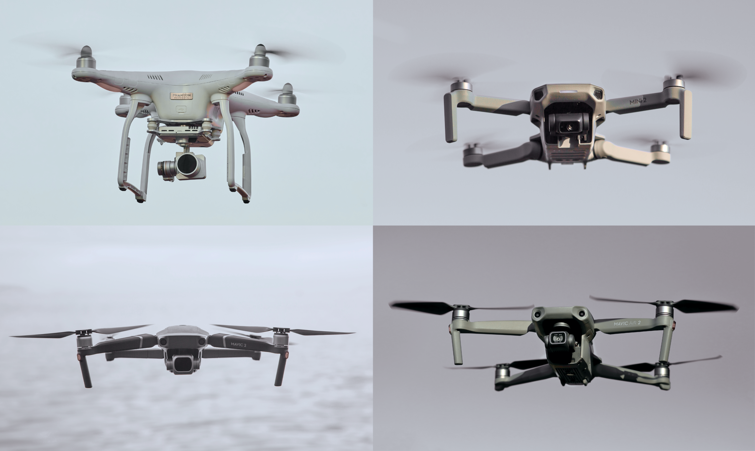
(“DJI – Drohne Mavic Air 2.JPG” by Bwag, used under CC BY-SA 4.0 / desaturated from original)
Here’s the Link, So Click It For Pete’s Sake!
I mean, really, this isn’t tax preparation software we’re talking about. It’s flying drones and creating 3D models. Those of us who get to go out to the park and beta test Mapware Fly have had a blast in the process. And tech like this has so many useful applications, many of which haven’t even been identified yet.
Click this link to sign on as a beta tester. Have fun: https://bit.ly/3EdtN0R
Join our mailing list to stay up to date on the latest releases, product features and industry trends.
Mapware needs the contact information you provide to us to contact you about our products and services. You may unsubscribe from these communications at any time. For information on how to unsubscribe, as well as our privacy practices and commitment to protecting your privacy, please review our Privacy Policy.
