The Aerial Perspective Blog
Santa’s Little Helper: Why Santa Needs 3D Mapping and Geospatial Intelligence
Santa’s been making his rounds for a long time, and you’d think he would have perfected his delivery method by now. But as the world’s population continues to grow, and more children are added to the “nice” list each year, it becomes increasingly difficult for Santa to make his deliveries on time. That’s where 3D mapping, and geospatial intelligence come in!
With these tools, Santa can optimize his Christmas Eve operations and plan his route more effectively. Read on to learn more about how Santa can use 3D mapping and geospatial intelligence to make his midnight ride as efficient as possible.
The challenges of Santa’s current operations
Santa has a lot on his plate during the holiday season. He must make sure all the gifts get delivered on time (to an ever-increasing number of good boys and girls), keep track of who’s been naughty and nice, and sneak into homes without being seen. It’s a daunting task, and Santa could use a little help.
Among other reasons, Santa’s current operation is inefficient because he relies on sleighs and reindeer to deliver presents to children around the world – leading to increased costs and a tight timeline. Without the ability to accurately map out routes, Santa relies on outdated methods of navigation, which result in inefficient courses and longer delivery times. Not to mention, the always evolving world map. Every year, new roads and buildings are built, which can throw off even the most experienced navigator.
Additionally, safety concerns often arise when Santa is not able to accurately map out routes ahead of time. Without the ability to accurately identify obstacles and other potential hazards, Santa is at risk of getting lost or running into danger. Under his current operations, he is limited in the ability to collaborate with other delivery services, which leads to inaccurate data and unreliable delivery times. While this method may have worked in the past, it is no longer efficient in today’s world.
With current technology, there are much more efficient ways for Santa to deliver presents to children that don’t present serious consequences for the efficiency and safety of his delivery operations.
What is geospatial intelligence and 3D mapping?
Santa has been using the same map for centuries. It’s time for a change. With the help of 3D mapping and geospatial intelligence, Santa can deliver presents to all the good boys and girls without fail.
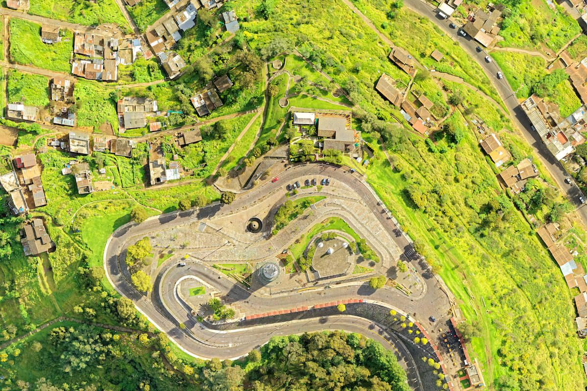
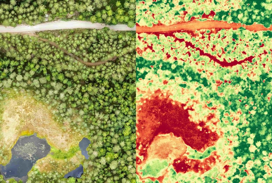
What is geospatial intelligence? Simply put, it informs confident decisions and better business outcomes by leveraging location to add context to data. With the help of geospatial intelligence and maps, Santa can see exactly where each child lives, what they want for Christmas, and whether they’ve been naughty or nice.
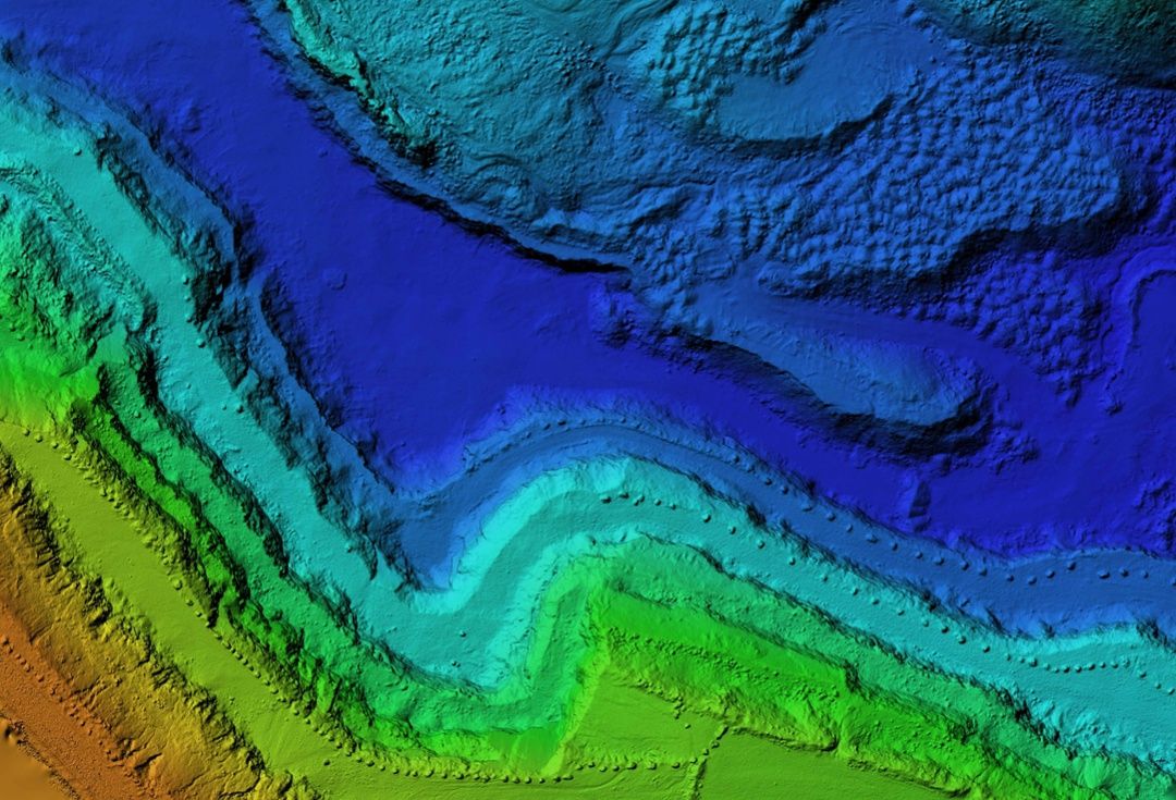
3D mapping is also a great way to show changes over time. For example, if you wanted to see how a city has changed over the years, you could create a 3D map of that city and track continuous alterations…like adding chimneys. This is something that Santa could use in his workshop!
Additional benefits Santa can experience with GIS and photogrammetry
With Christmas just around the corner, Santa is no doubt busy making his list and checking it twice. But what if Santa could use some help to make his midnight ride more effective?
With photogrammetry, Santa can optimize his ride by viewing the most direct routes to each house on his list. Not to mention how he could track his sleigh’s position in real-time, create a 3D map of each house he visits, and even see what the inside of each house looks like. With all this data at his fingertips, Santa would be able to make his deliveries with pinpoint accuracy.
By using these tools, Santa can be sure that he is making the most efficient use of his time and resources. This will not only help him fulfill his duties on Christmas Eve, but it will also ensure that every child gets their fair share of holiday cheer.
Best practices for processing and analyzing geospatial data

Let’s face it, Santa has a lot of data to manage. Billions of children’s Christmas lists, global weather patterns, Rudolph’s nose-tracking data – the list goes on. And with all this data comes the challenge of processing and analyzing it quickly and efficiently.
But don’t worry, Santa – help is on the way in the form of 3D mapping and geospatial intelligence. By using these tools, Santa can manage his data more effectively and make better decisions about where to deliver presents on Christmas Eve.
Not only will this make Santa’s job easier, it will also make sure that every child receives their Christmas present on time.
Mapware makes Santa’s merrymaking easy with maps

So, if you’re looking for a way to help Santa make his Christmas Eve delivery run as smooth as possible, consider recommending Mapware and the benefits of 3D mapping and geospatial intelligence. It’s sure to make everyone’s holiday season a little brighter.
The best way to see if 3D mapping with Mapware is right for you or old saint Nick is to test-drive it yourself. Start a free trial today!
Join our mailing list to stay up to date on the latest releases, product features and industry trends.
Mapware needs the contact information you provide to us to contact you about our products and services. You may unsubscribe from these communications at any time. For information on how to unsubscribe, as well as our privacy practices and commitment to protecting your privacy, please review our Privacy Policy.
