The Aerial Perspective Blog
5 Features to Expect from the Best Photogrammetry Software
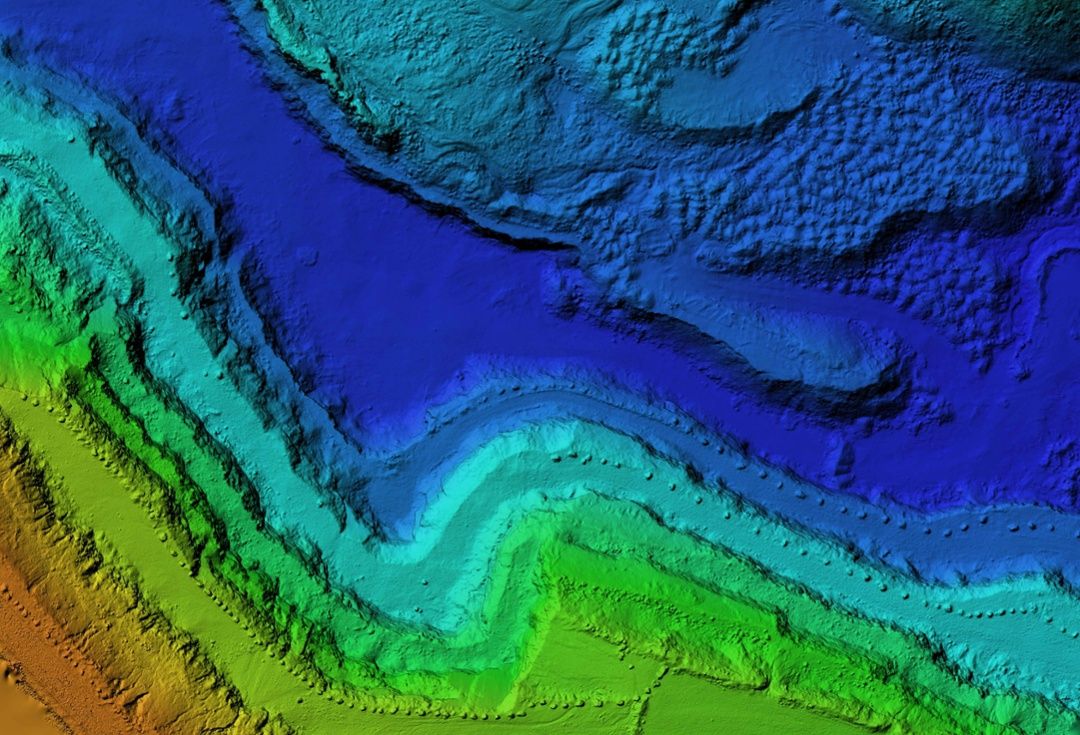
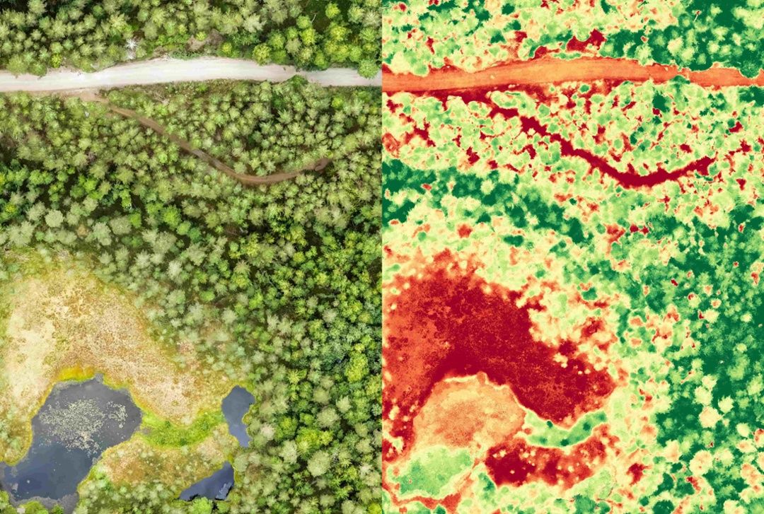
If you’re looking to create an orthomosaic map or model, your photogrammetric data needs to be organized and processed with advanced photogrammetry software. But how can you decide which software to use?
Let’s discuss different types of photogrammetry and essential features to look for when choosing the best photogrammetry software.
Types of Photogrammetry
Photogrammetry is a method used to gather accurate data from images. This could include measuring surface area or volume, adding dimensions to topography, detecting change over time, and much more. Depending on the situation, you might use one of two different types of photogrammetry: terrestrial or aerial.
Terrestrial Photogrammetry
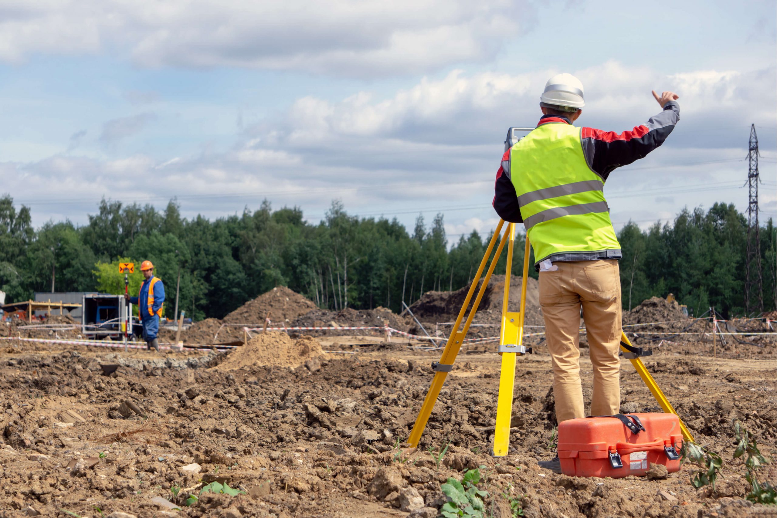
When you capture and process images from the ground, it’s known as terrestrial photogrammetry. You might be familiar with the outcomes of this method if you have ever used Google Street View. In this case, images are collected using cameras on cars. Images can also be captured with cameras mounted on tripods or towers, or with handheld cameras. Terrestrial photogrammetry is best suited for capturing data about smaller areas or specific objects.
Aerial Photogrammetry
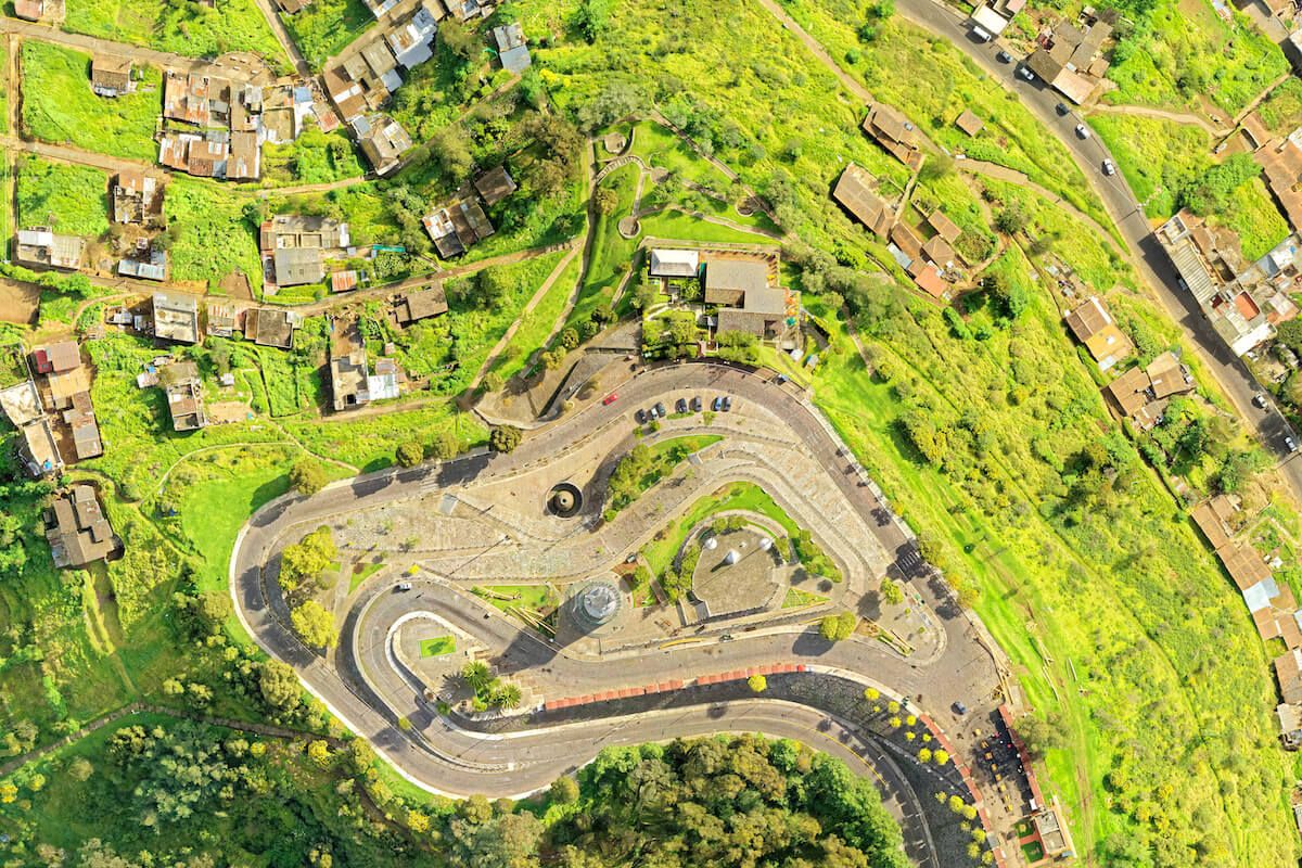
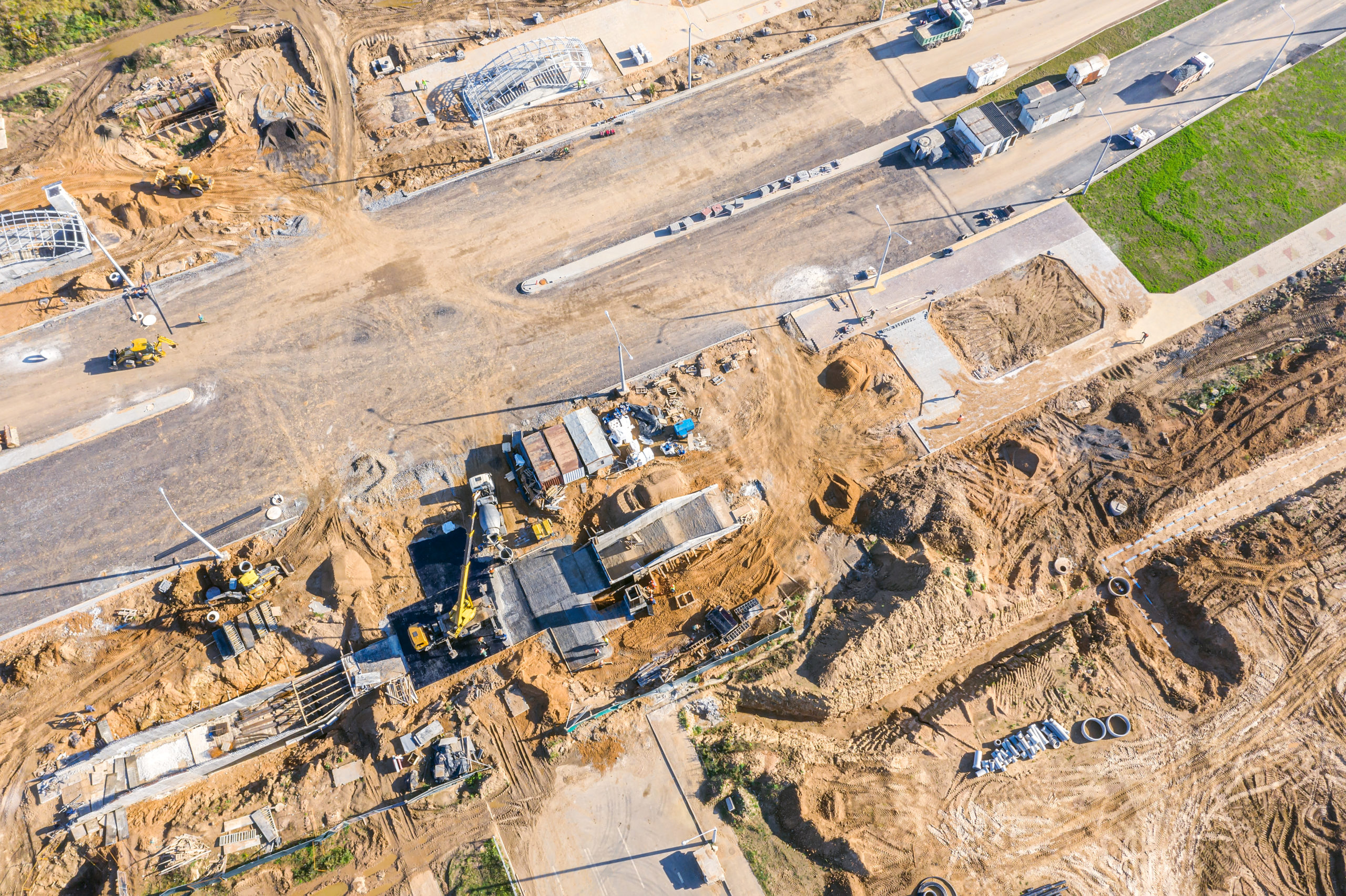
When you need to get information about a larger area, aerial photogrammetry is the best method. Images can be captured from a crane, plane, helicopter, drone, or satellite. For these larger maps, photogrammetry software stitches the images together to create a cohesive picture.
The Benefits of Photogrammetry Software
After you have captured images, there are a number of benefits to using photogrammetry software to analyze them.
The main advantage is that you can process data much faster than manual methods. With the right photogrammetry software, you can get accurate measurements, calculate distances, determine the volume of materials on a site, and more in a matter of hours.
Photogrammetry software also allows you to easily share information, either within the platform itself or by exporting to files that can be incorporated into other documents or imported into other software like 3D printers, engineering software, and so on.
Who Uses Photogrammetry Software?
The best photogrammetry software is used across a range of industries and professions for a variety of use cases, including:
- Architecture and engineering
- Archaeology
- Geology
- Oil and gas exploration
- Forensic science
- Farming and agricultural research
- Environmental protection
- Military and defense
Five Features to Expect from the Best Photogrammetry Software
You’ll need to consider the specifics of your project, but in general, you should expect the following five features from the best photogrammetry software.
1. Speed
Photogrammetry involves processing enormous amounts of data, and you need a platform that can do that without slowing you down. Especially for larger projects, processing speed can vary depending on the provider’s technology.
Cloud-based solutions aren’t limited by on-premises hardware, which means your data can be processed faster. When researching providers, look for a cloud-based solution that operates on highly rated data centers and uses graphics processing unit (GPU) acceleration to expedite processing.
2. Accuracy
Accuracy depends largely on the images and data you collect, so your flight plan will be very important on this front. Without solid image capture, you’ll likely end up with errors and distortion. However, the software you use will also impact the accuracy of your final map. Look for a platform that includes accuracy tools such as ground control points (GCPs) and scale constraints, which help ensure that your final map is to scale.
3. Stability
If you’re working on a deadline, you can’t afford constant software crashes and errors. It’s critical to look for a platform that can guarantee uptime and stability. A provider with a cloud-based, geographically distributed system and state-of-the-art data centers is more likely to be able to offer that stability.
4. Scalability (No Arbitrary Upload Limits)
Some platforms can process thousands of photos—and terabytes or petabytes of data—at a time. Upload limits can seriously inhibit your ability to complete larger, highly detailed projects. Even if you’re not looking to complete a huge project right now, scalability is key, so it’s best to choose a platform that will scale up to meet your needs.
With some platforms, upload limits will cap the amount of data you can process, which means you’ll have to go through the hassle of switching platforms if you want to move on to bigger and better projects. Giving your business the flexibility to process more data in the future eliminates that particular roadblock when it’s time to scale up.
5. User-Friendliness
Photogrammetry software is an amazing tool with a variety of use cases. With more and more people across industries leveraging this technology every day, it’s important for it to be accessible. In other words, it shouldn’t be a headache to use.
The best photogrammetry software is straightforward and user-friendly, and it doesn’t require advanced technical knowledge. Look for a platform that’s easy and convenient to use, from creating maps to storing, sharing, and using them.
Explore Mapware and Mapware Fly
There are several software solutions on the market that can help you convert raw data into orthomosaic maps, so you’ll need to choose the best photogrammetry software for your particular needs around processing, budget, technology, and more.
As you evaluate different platforms, consider speed, accuracy, stability, scalability, and user-friendliness—key features you’ll find from Mapware. For flight planning, take advantage of our free Mapware Fly app to make the most of your time in the air.

This article, originally posted on September 11, 2020, was updated June 22, 2023.
Join our mailing list to stay up to date on the latest releases, product features and industry trends.
Mapware needs the contact information you provide to us to contact you about our products and services. You may unsubscribe from these communications at any time. For information on how to unsubscribe, as well as our privacy practices and commitment to protecting your privacy, please review our Privacy Policy.
