The Precision Observation Device (POD)
Aerial Mapping Game Changer
Crewed Systems
Introducing The Precision Observation Device (POD) by Mapware—a fully enclosed and self-contained multi-sensor mount designed to transform crewed aircraft into advanced aerial mapping systems. Built with aviation-grade materials, the POD is engineered to withstand the diverse environmental conditions typical of general aviation.
Why Choose the POD?
This plug-and-play system seamlessly converts any Cessna aircraft into a powerful aerial mapping powerhouse. Its versatile multi-payload design accommodates a variety of sensors, including RGB cameras, NIR cameras, and LiDAR equipment, providing unparalleled flexibility to meet your project-specific needs. Sensors can be easily swapped to align with the demands of each task, allowing for accurate and efficient large-area data collection like never before. Discover limitless possibilities with the POD and elevate your geographic data capture capabilities.
Rapid Deployment & Ease of Use
- The POD installs in minutes and requires no aircraft modifications, enabling you to rapidly transition from ground-based operations to airborne data collection. This plug-and-play design minimizes downtime and keeps your mission on schedule.
Versatile, Multi-Sensor Capability
- With support for RGB, NIR, and LiDAR sensors, the POD provides unmatched flexibility. Adapt to diverse mission requirements simply by swapping payloads—no need to invest in multiple dedicated systems.
Aviation-Grade Reliability
- Constructed from robust, aircraft-compatible materials, the POD is engineered to withstand harsh environmental conditions common to general aviation. Depend on it to deliver accurate, consistent performance mission after mission.
Global Regulatory Compliance
- FAA and EASA approvals, along with Supplemental Type Certificates for Cessna 172, 182, and 206, give you peace of mind. Confidently operate worldwide, knowing the POD meets strict safety and airworthiness standards.
High-Fidelity Data for Critical Insights
- Designed to capture precise mapping and surveillance data over large areas, the POD empowers informed, timely decisions. From environmental monitoring to infrastructure inspections, gain a clear, actionable view of your operational environment.
Cost-Effective Mission Scalability
- Instead of purchasing multiple specialized systems, invest in one versatile platform. Maximize your ROI by leveraging the POD’s modular sensor framework for a wide range of projects—from agricultural analysis to defense surveillance.
Choose the Precision Observation Device (POD) for a fully integrated, high-precision solution that meets today’s demanding data collection needs—quickly, safely, and reliably.

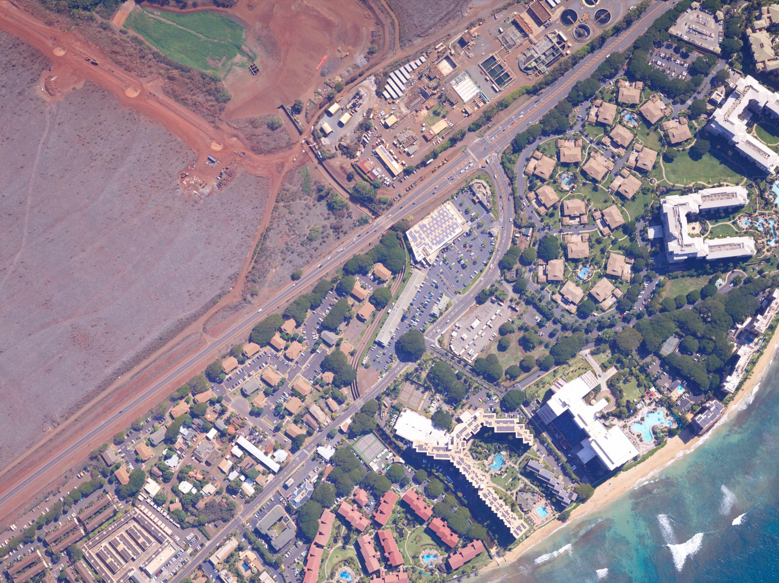
Aerial Mapping & Surveying
Efficiently capture large-scale geospatial data

Surveillance & Reconnaissance
Enhance mission-critical intelligence

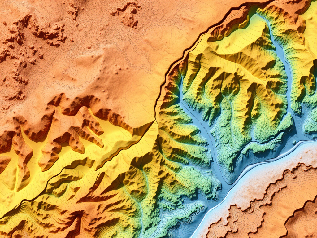
Environmental & Infrastructure Monitoring
Support disaster response, urban planning, and resource management
Essential Features and Capabilities of the POD
| Feature | Description |
|---|---|
| Plug-and-Play Installation | Installs in minutes without requiring aircraft modifications, minimizing downtime and maximizing operational efficiency. |
| Multi-Sensor Versatility | Accommodates a variety of cameras and LiDAR equipment; easily swap sensors to adapt to diverse mapping or reconnaissance missions. |
| Rugged, Aviation-Grade Construction | Built to endure typical environmental stresses encountered by general aviation aircraft, ensuring reliability in challenging conditions. |
| Global Regulatory Compliance | Fully approved by the FAA and EASA, No Supplemental Type Certificates (STC) required for Cessna 172, 182, and 206 models. |
| Lightweight & Self-Contained | Designed for minimal impact on aircraft performance while offering maximum data collection capability for large-scale mapping and surveillance. |
| Panoramic Coverage & Precision | Captures comprehensive aerial imagery and geospatial data, enabling greater situational awareness and accurate, real-time decision-making. |
Discover the Power of the POD
With the Precision Observation Device (POD), you benefit from a reliable and versatile aerial mapping solution that significantly boosts data collection and situational awareness. This innovative system allows for seamless integration with various sensors, offering unparalleled adaptability for diverse missions. Whether you’re engaged in high-resolution mapping, comprehensive environmental assessments, or critical security operations, the POD empowers your crewed aircraft to achieve new levels of accuracy and efficiency. Experience enhanced operational success with this cutting-edge technology at your disposal.