The Aerial Perspective Blog
Mapware’s Photogrammetry Pipeline: Introduction

If you’re curious about how engineers transform drone photos into 3D computer models, this blog series is for you.
At Mapware, we offer an all-in-one commercial photogrammetry product for both commercial and government customers. Our parent company, Robotic Services, designs complete geospatial intelligence (GEOINT) solutions customized for both civilian and government clients, like the U.S. Air Force.
We’re writing this series to give you a basic overview of Mapware’s photogrammetry pipeline—the systems engineering term for sequential processes. Each entry will focus on the concepts underlying one of Mapware’s six pipeline steps.
Reading this series won’t grant you a doctorate in computer science or turn you into a practicing photogrammetrist, but it will help you speak the basic language. We at Mapware aim to get steadily more technical over time and may expand upon concepts we introduce here. We want readers to build their domain knowledge alongside us.
Mapware in the Context of Photogrammetry
Photogrammetry is the science and technology of using photographs, LiDAR, and other geospatial measurement techniques to represent the physical world in actionable ways—such as topographic maps, object reconstructions, or 3D digital twins.
Modern photogrammetry is used in the digitization of archaeological sites, buildings, and entire landscapes, as well as in facial recognition, filmmaking, forensic investigations, and sports.

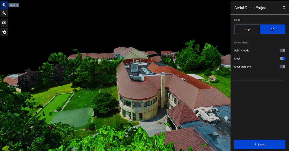
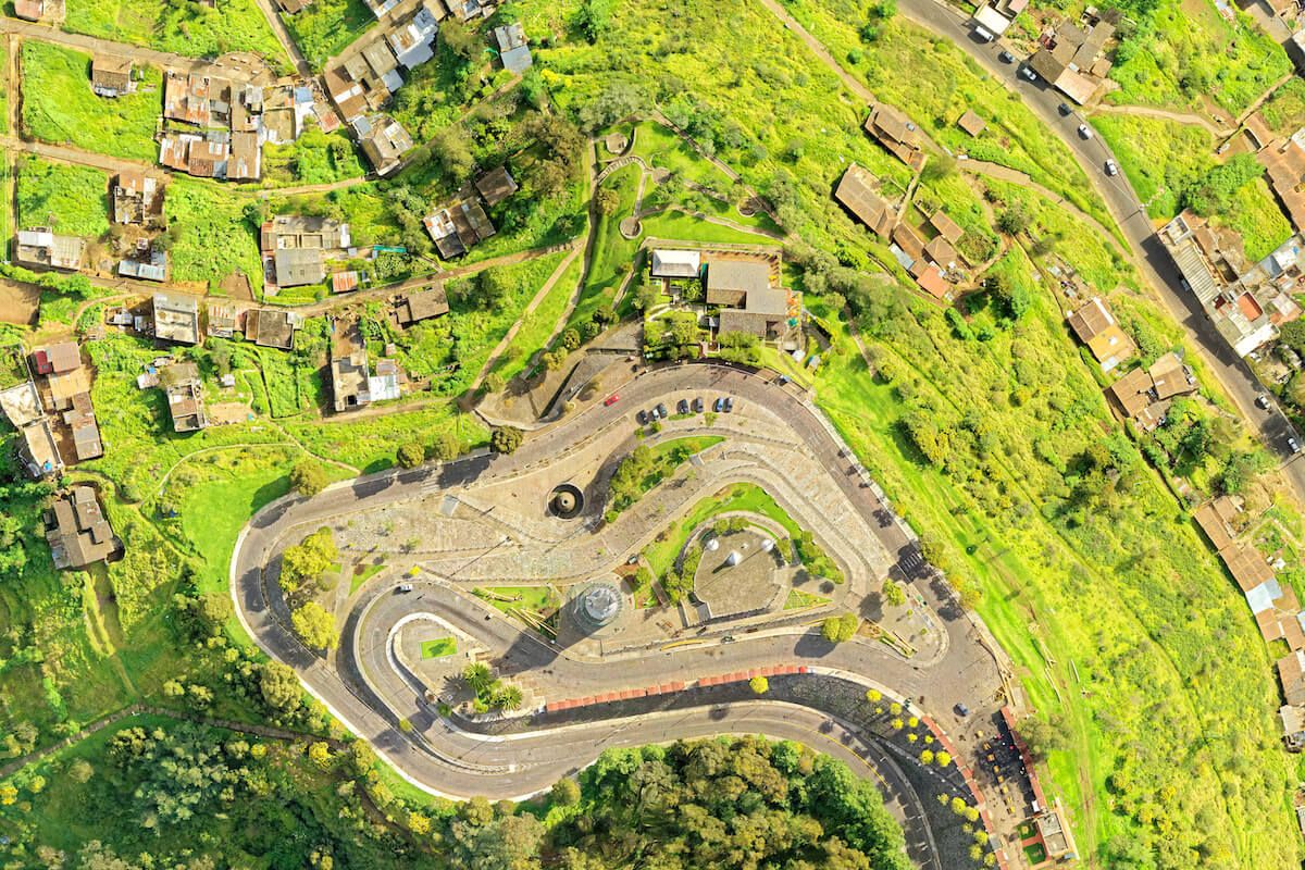
Mapware is a photogrammetry SaaS designed to ingest aerial photographs of a large area (usually taken by drones) and stitch them together into an accurate 3D digital twin that users can explore virtually by panning, rotating, and zooming, as well as toggling between orthomosaic, 3D model, and other data layers.

Mapware’s Pipeline
To accomplish this, Mapware follows a six-step pipeline:
- Keypoint Extraction: identifying distinctive features in each image
- Homography: matching identical features between images to construct image pairs
- Structure from Motion: aligning all image pairs into a composite image of the whole landscape
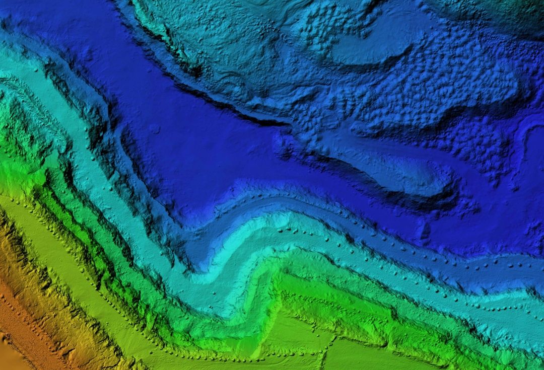
- Depth Mapping: constructing a topographical map (with elevations) of each image
- Fusion: combining depth maps into a high-res composite 3D point cloud of the landscape
- Structured Output: transforming the point cloud into a usable 3D model for the client
In the next entry in this series, we will discuss the photogrammetry concepts underlying the first step in the pipeline – Keypoint Extraction.
Join our mailing list to stay up to date on the latest releases, product features and industry trends.
Mapware needs the contact information you provide to us to contact you about our products and services. You may unsubscribe from these communications at any time. For information on how to unsubscribe, as well as our privacy practices and commitment to protecting your privacy, please review our Privacy Policy.


