The Aerial Perspective Blog
Drone Flight Plan 101 for Photogrammetry
Why should you use a drone flight planning app for photogrammetry?
As UAV mapping grows in popularity, aspiring drone pilots are bound to hear about automated flight planning, flight control, and image capture apps (also known as flight apps).
This is likely to be a new concept for first-time commercial pilots, and maybe even for businesses specializing in manual flight operations like photography or news gathering, but a lot of the literature just assumes everyone knows what a flight app is and why it’s critical for photogrammetry. Read on if you missed the memo.
This isn’t going to be another of those “best apps for drone flying” lists. Instead, we’re discussing what flight apps are, how they work in the field, and why pilots absolutely need them for commercial unmanned aerial vehicle (UAV) mapping.
What Is Flight Planning?
Unless you’re flying your drone for pleasure, chances are you’re on a mission to meet a goal. In order to do this, having a flight plan is essential. Before you launch, a flight plan captures the following information:
- Schedule
- Altitude
- Flight patterns
- Image requirements
- Desired weather conditions
Having a drone flight plan allows you to control a number of variables so that you can stay compliant with air restrictions, protect your valuable drone equipment, and ultimately, meet your goal for the mission.
Do I Need Flight Planning or Flight Control?
Once you have a drone flight plan, if your software allows, you can implement flight control. This is essentially automating the drone and image capture to execute your flight plan. You also have the option to fly the drone on your own, but as with any manual operation, this option is subject to human error.
Depending on your goals, small projects may be suitable for manual flight control. If you need to cover a larger area or want to ensure that your drone flight plan is executed right the first time, flight control is the way to go.
Considerations for a Successful Drone Flight
Although drones are a relatively cost-effective means for capturing data—especially compared to planes and helicopters—you still want to make sure that every flight is a successful one.
Some of the factors to consider in your drone flight plan include:
- Speed: When capturing images, drone speed is dependent on the amount of light available, which depends on the weather and the flight altitude.
- Heading: As they move, drones can be set to stay pointed at a fixed heading or in the direction of flight. The decision depends on the desired outcome for the images.
- Gimbal pitch: Depending on whether you are creating an orthomosaic or a 3D model, the pitch angle should be adjusted accordingly.
- Camera settings: Shutter type and speed influence image outcomes and the speed at which the drone can fly to capture clear images.
Contingency plans: Know how your drone behaves if it loses the link or the battery gets low.
What Is a Flight Planning App?
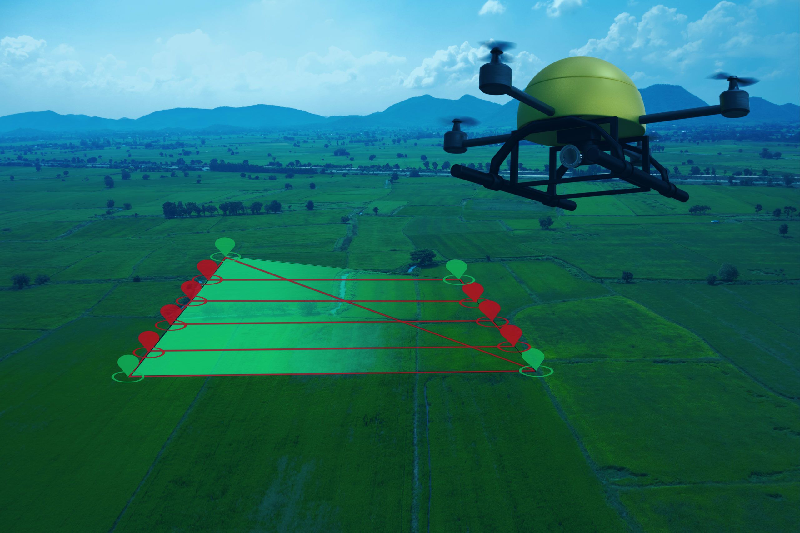
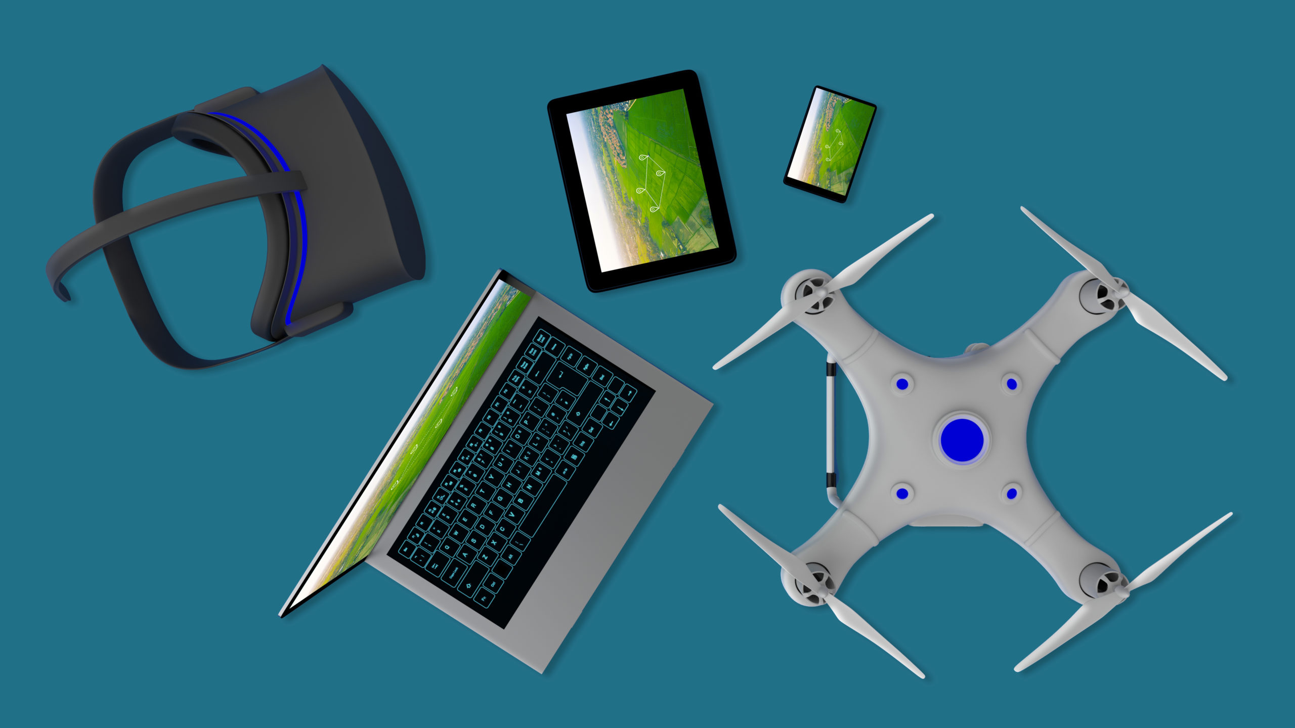
A flight app (or flight planning software) is a computer program that lets you plan, execute, and monitor automated drone flights from your computer or mobile device. Many flight apps also allow you to configure photogrammetry mission settings such as camera angle and image overlap, further simplifying your job.
Because they exist on your laptop, tablet, or smartphone, flight apps don’t typically come packaged with commercial-off-the-shelf drones. You’ll have to buy one separately and download it.
How Do Drone Flight Apps Work in the Field?
No two flight apps are exactly alike, but here’s a hypothetical example of how you might use one to conduct an automated photogrammetry flight:
Preflight Planning
You arrive at the mission site with your drone and a tablet on which you’ve installed your flight app. When you boot up your tablet, the flight app displays a GPS map of the surrounding airspace. You draw directly on this map, either manually selecting waypoints for the drone to fly over or designating a coverage area and letting the app design a suitable flight pattern. Then you open other menus to set your drone camera angle, the number of photos it should take, and the amount of overlap between adjacent photos.
Flight
With everything set, you tap a button on the tablet and the drone takes off on its own toward the mission area. At this point, you probably put down your tablet and pick up your drone’s control stick if only to assume manual control in an emergency. Ideally, the drone follows its preprogrammed flight pattern, takes the necessary photos, and lands without your intervention.
Post-Flight
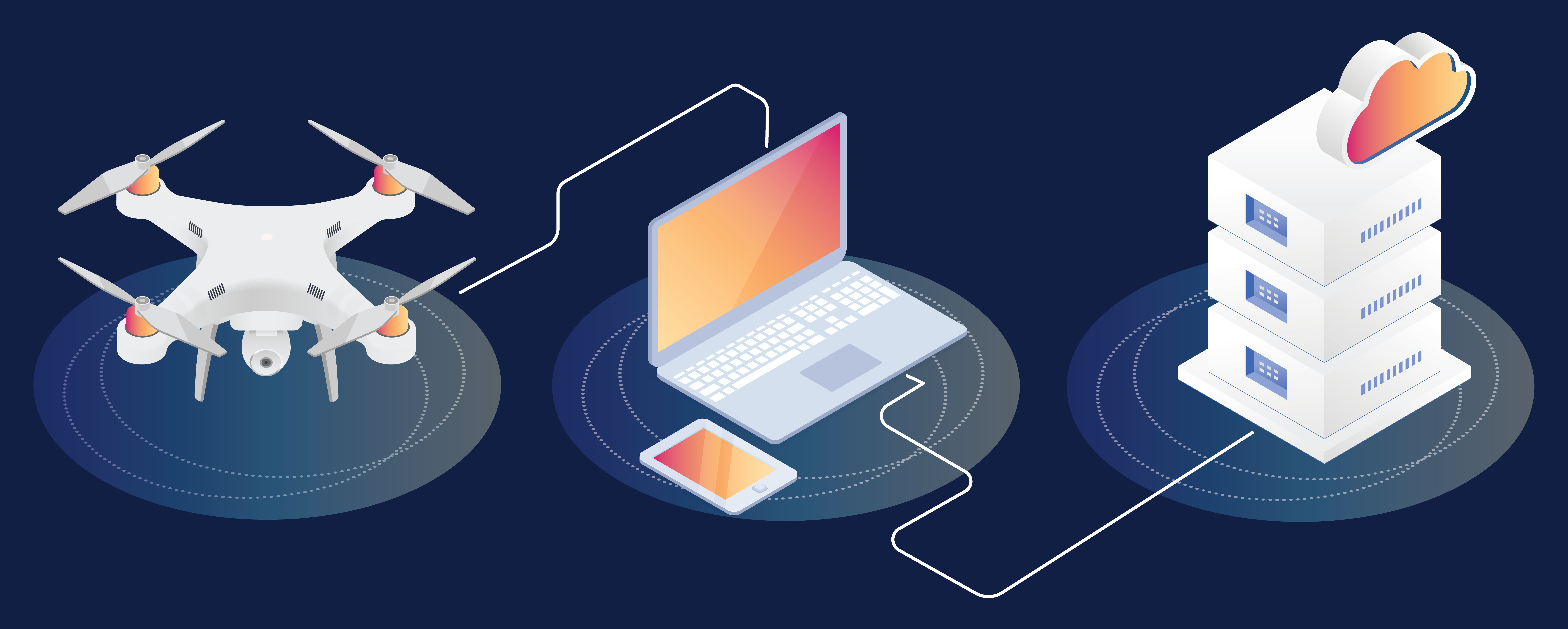
With your drone safely on the ground, the flight app begins automatically downloading photos from your drone’s SD card to your tablet and may even kick off an image processing job.
Why Are Drone Flight Apps Critical for UAV Mapping?
Flight apps make professional UAV mappers more effective at their jobs. Here are a few reasons why you need them:
Precision
Although a skilled pilot can achieve a lot, it’s very hard to perform professional photogrammetry under manual flight control. Clients expect lifelike 3D models, but most photogrammetry software is unforgiving to variances in photo resolution caused by even slight changes in a drone’s airspeed, altitude, and pitch. Furthermore, most photogrammetry missions call for taking photos with a precise front and side overlap (70 percent, for instance). This is virtually impossible for a human to achieve with consistency, but computers do it effortlessly.
Efficiency
A good flight app executes missions not only with inhuman precision but also with inhuman efficiency. The first time you use a flight app, it may shock you to see how quickly it completes the mission. With modern drone batteries lasting no more than 30 minutes, automating the flight can save you valuable time and let you cover much larger areas.
Reduced Pilot and Observer Workloads
If you want to run a single-pilot UAV mapping business, flight apps are essential. Anyone who has tried conducting a manual photogrammetry flight solo knows they risk breaking Part 107 regulations every time they glance momentarily from their drone to their camera to line up a shot. More importantly, the danger of actually losing visual line-of-sight increases with the size of the mission area. (You’d think by now that all drone manufacturers would paint their airframes bright orange for visibility, but for some reason they love gray.)
By using a flight app, you can look directly at your drone throughout the flight while the app handles the camera work. This means you can conceivably photograph large-scale areas safely without having to hire a visual observer.
Automatic Flight Mode
If something unexpected happens, like a lost link or a low battery, a flight plan can tell the drone to go into automatic flight mode to safely land the equipment. This is essential for not only protecting your investment but also for keeping bystanders and surrounding objects safe.
All-in-One UAV Mapping Tool
Think about the complex workflow you must follow to conduct a single photogrammetry flight. First, you need to check an app like NOTAM Search or B4UFly for flight restrictions. After each flight, you need to manually transfer your photos from your drone to your smartphone or laptop, and then from there to a desktop or cloud-based photogrammetry provider.
A good flight app is like a Swiss Army knife for photogrammetry, handling automated flight planning, restricted airspace awareness, data capture, and maybe even image processing all in one application.
Is All UAV Mapping Automated?
In general, manual piloting skills still matter in UAV mapping. Most flight apps build what pilots refer to as “lawnmower” flight paths, sweeping back and forth over the target area at a relatively consistent altitude and maintaining a fixed camera angle. Although this strategy is great for capturing flat, multi-acre sites, it doesn’t give the drone a clear view of vertical structures.
Using a flight app over a forest might result in a 3D model of trees with clear canopies but blurry, distorted trunks. To get around this, pilots may still supplement their automated flights with manual flights. This involves letting the app survey the entire area from above, then conducting manual flights that orbit tall structures to capture their side views or even fly underneath their overhanging surfaces.
That said, some companies have begun offering flight apps designed specifically for vertical structures, and they are likely to become more commonplace as the tech evolves.
How to Choose Your Drone Flight Plan App
There are many drone flight apps on the market, but they aren’t all necessarily suited to every UAV mapping mission. If you decide to purchase a flight app for your business, review these common but important features:
1. Drone Compatibility
Before choosing a flight app, make sure your drone is compatible. Some drones, especially new models, may not support all available apps. For example, the DJI Mini 2 was released in November 2020, but its users had to wait for a January 2022 firmware update before they could use any automated flight app. As of this writing, many app developers are still playing catch-up.
2. Waypoint Flight Planning
This is a core feature of flight apps, but it’s worth mentioning. Your app should have an intuitive map that lets you draw the target area using lines, points, and polygons, and monitor the drone’s real-time position during the flight.
3. Camera/Overlap Control
Flight apps tailored for UAV mapping also let you configure camera settings such as angle, shutter speed, and ISO, as well as the overlap between photos.
4. Flight Restriction Overlays
This important safety feature lets you see temporary flight restrictions (TFRs) and other no-fly zones on the map as you plan your flight. It may even prevent you from plotting waypoints in illegal airspace.
5. Integration with Photogrammetry Software
The best flight apps are part of a larger UAV mapping suite and can save you time by automatically transferring your images from the drone’s SD card to your mobile device, and from there to your photogrammetry engine for processing.
6. Optional: Vertical Structures
As stated above, most UAV mappers can supplement their automated flights with manual flights to capture the occasional tower, tree, and building. But if a significant part of your business is modeling vertical structures, it might be worth finding an app that offers more than the standard “lawnmower” flight paths. Be aware that you may have to pay a steeper price.
Drone Flight Plan Video Tutorial
Want to see more about creating a drone flight plan with the help of a flight app? View the tutorial.
We hope this post has demystified the concept of flight apps and convinced you of their value in UAV mapping and photogrammetry. Let us know if we’ve missed any important app features. Most of all, fly safely.

This article, originally posted on January 17, 2022, was updated March 28, 2023.
Join our mailing list to stay up to date on the latest releases, product features and industry trends.
Mapware needs the contact information you provide to us to contact you about our products and services. You may unsubscribe from these communications at any time. For information on how to unsubscribe, as well as our privacy practices and commitment to protecting your privacy, please review our Privacy Policy.
