The Aerial Perspective Blog
Use Cases for Remote Sensing in Forest Fire Management

Research shows that large wildfires are more frequent than ever (especially in the western U.S.), in part due to shifting land use, lagging wildland maintenance, and climate change.
As wildfires become larger, hotter, and more unpredictable over time, forest management strategies are increasingly important for protecting homes, infrastructure, and ecologically sensitive areas. Equally important is planning for recovery in the aftermath of a blaze — large burn areas can destabilize landscapes and create dangerous conditions long after the last ember is snuffed out.
Technology plays an important role in preventing and responding to wildfires. For example, there are numerous Geographic Information Systems (GIS) applications in forest fire management — satellite imagery is particularly useful.
But technology can also be used much closer to the fire itself. Remote sensing in fire management can be used in all stages of a wildfire: prevention, detection, response, management, and recovery. Here’s how:
Fuel analysis, modeling, and prevention
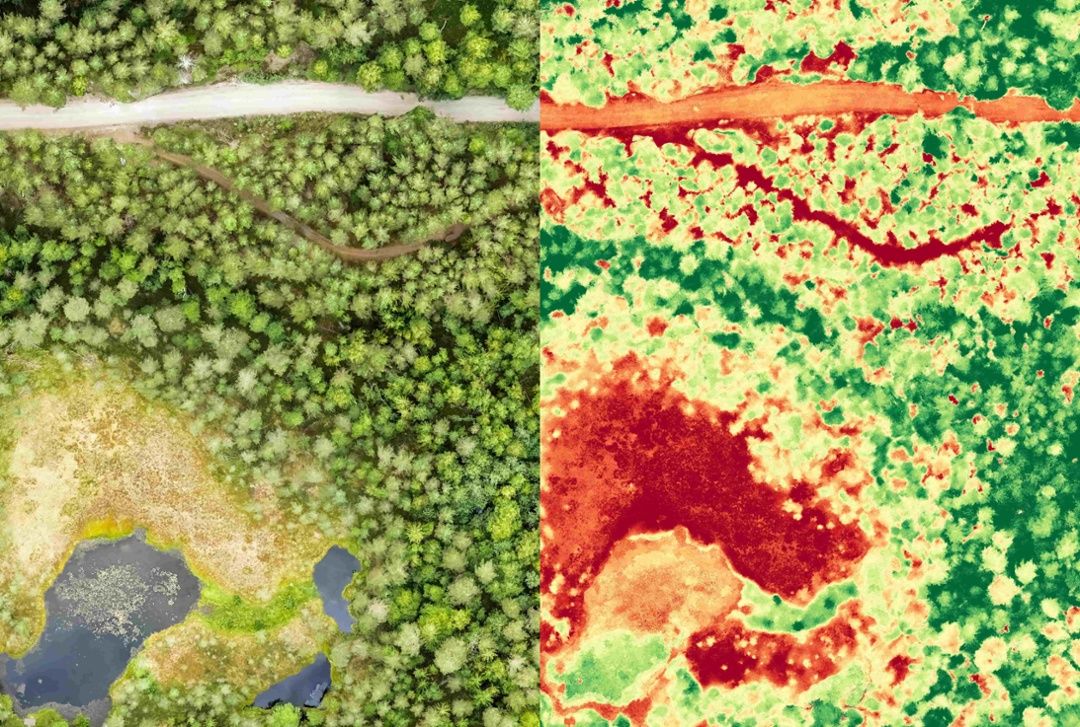
Drones and remote sensing tech can be incredibly valuable when used for assessing wildfire risk over large areas. For example, remote sensing can be used to monitor changes in vegetation that may result from invasive species or especially dry conditions.
This bird’s-eye-view of landscapes can be leveraged for assessments on fuel density, which are then used to make informed decisions about controlled burns, timber harvesting, invasive species mitigation, and other fire prevention tactics.
Drones can also be used to inspect power lines and towers much faster and with much less risk than manual inspections, so utilities companies can quickly identify potential fire risk and make necessary repairs.
Furthermore, photogrammetry data can be used to power advanced predictive analytics that assess potential fire danger by modeling hundreds of scenarios. Looking closely at areas where fires have occurred and comparing historic trends with more recent results may give fire management agencies, climate scientists, and other experts a leg up when it comes to understanding new trends.
Fire detection
Early wildfire detection can save acres of forest, property, and lives. In high wind conditions, the difference between a successful evacuation and a disaster may be defined by only minutes.
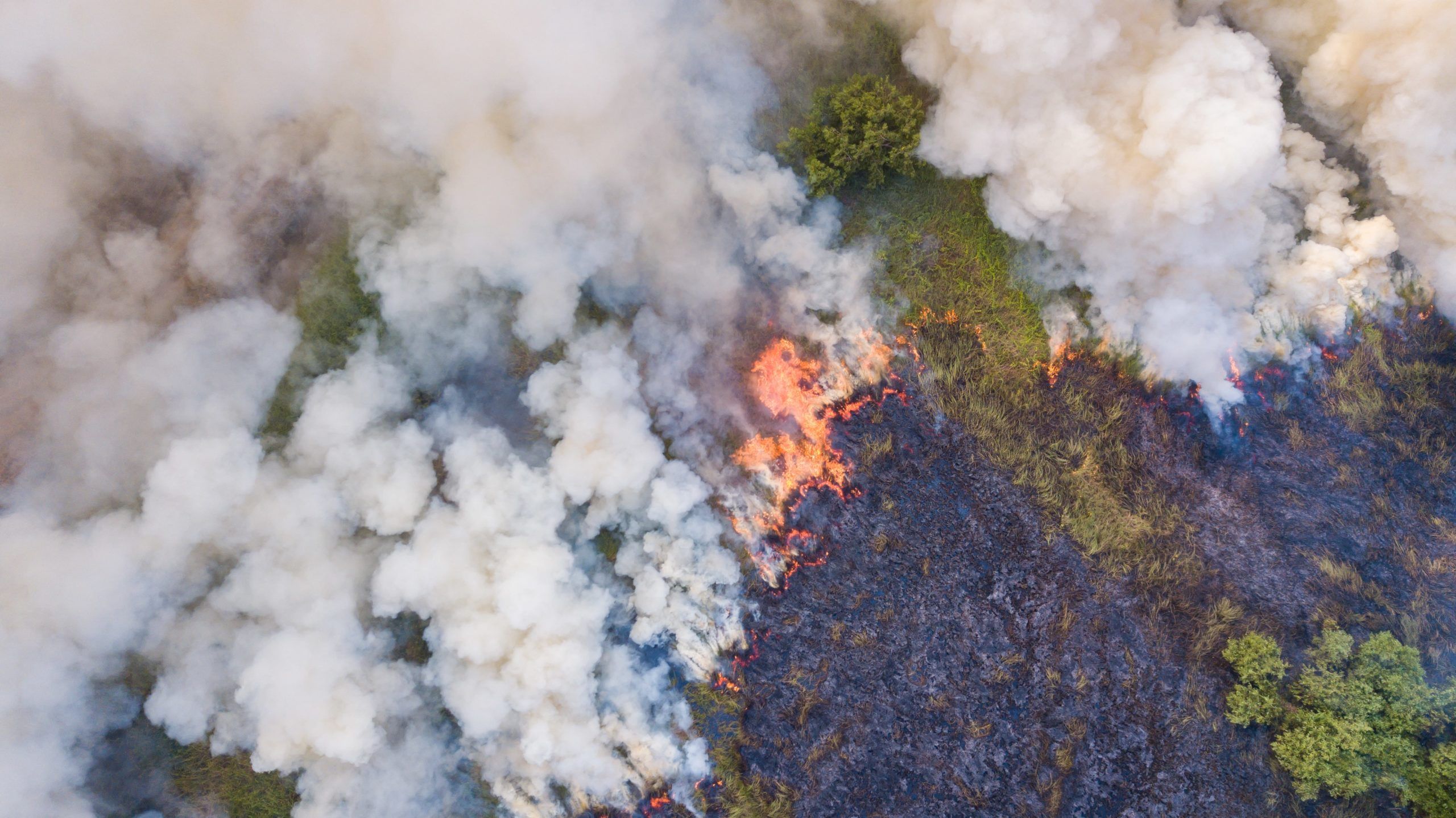
Historically, monitoring fire-prone areas was done from high-elevation watchtowers. Now, many agencies are taking observation to the next level by dispatching drones to handle forest fire monitoring using remote sensing when fire danger is elevated. Forest fires can be identified by monitoring aerial footage for visual smoke or flames, or by using thermal imagery to detect “hot spots” in deep woodlands or hillsides.
Rapid response
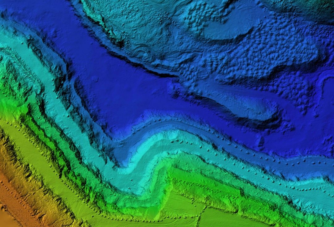
Topographical maps are valuable for identifying in-roads to the backcountry, but most don’t include recent changes to the landscape — a downed tree or recent mudslide can present an unwelcome, time-consuming surprise for fire crews.
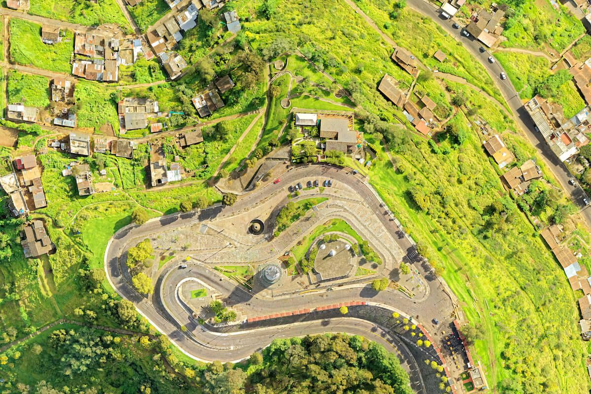
Having detailed aerial maps of an area before a fire starts makes it easier to strategically deploy firefighters and other resources. If a suspected fire is called in, agencies can use drones to confirm its exact location, check approaches, and dispatch crews appropriately, leveraging detailed aerial maps to guide decision making. This is especially important in remote or hard-to-reach locations where deploying resources requires more careful planning.
Targeted deployment
Drones can help agencies monitor the growth and progression of fires, where previously they would have to rely primarily on reports from ground crews. Forest fire mapping using remote sensing allows for a higher level of detail and better understanding of how changes in environmental factors like wind direction are impacting the fire trajectory in real time.
Traditionally, helicopters and small manned airplanes have been used to get an overhead perspective, but high wind speeds (which are common during forest fire season) often prevent pilots from safely operating aircraft when they’re needed the most. Plus, during times of high demand, aircraft is often spread across multiple wildfires at once, limiting availability further.
That’s where unmanned UAVs come into play. When mounted on drones, infrared cameras can capture wind direction, high-resolution imagery of smoke, ember trajectory, and more to help build predictive models and plan for mitigation.
With more accurate up-to-the-minute data about how the fire is progressing, fire management officers and agency leaders can evacuate the proper areas and dispatch firefighters more strategically.
Disaster Recovery
Vegetation holds loose soil in place. When wildfire strips the landscape of trees and shrubs, the danger from landslides, downhill creep, and flash flooding increases. In some cases, more damage can be done to life and property by changes to terrain than by the fire itself.
In the aftermath of a major fire, drones can be used to assess damage (both environmental and property) and map burn areas for recovery, research, and future prevention. Mapping strategies may include:
- Ecological research — Researchers can use UAVs to survey damage to plant life and study how burn areas naturally recover over time.
- Big data analysis — By comparing wildfire data from year to year, researchers can update predictive models to glean new insights for future fire seasons.
- Prevention — Mapping data can be used to identify ideal areas for replanting efforts, and to control invasive species like red brome that both increase wildfire risk and thrive in the aftermath.
Conclusion
As wildfires become more frequent — and more unpredictable — ecologists, researchers, and firefighters are left to find new technology to help prevent and fight them. Remote sensing is a valuable tool that can be used in all stages of a wildfire to prevent disasters. But that’s only the beginning of what this versatile technology can do.
Join our mailing list to stay up to date on the latest releases, product features and industry trends.
Mapware needs the contact information you provide to us to contact you about our products and services. You may unsubscribe from these communications at any time. For information on how to unsubscribe, as well as our privacy practices and commitment to protecting your privacy, please review our Privacy Policy.


