The Aerial Perspective Blog
UAV Photogrammetry Use Cases Beyond Surveying and Mapping

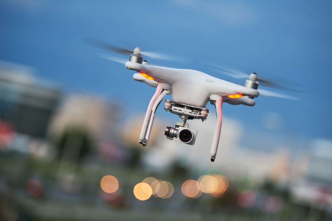
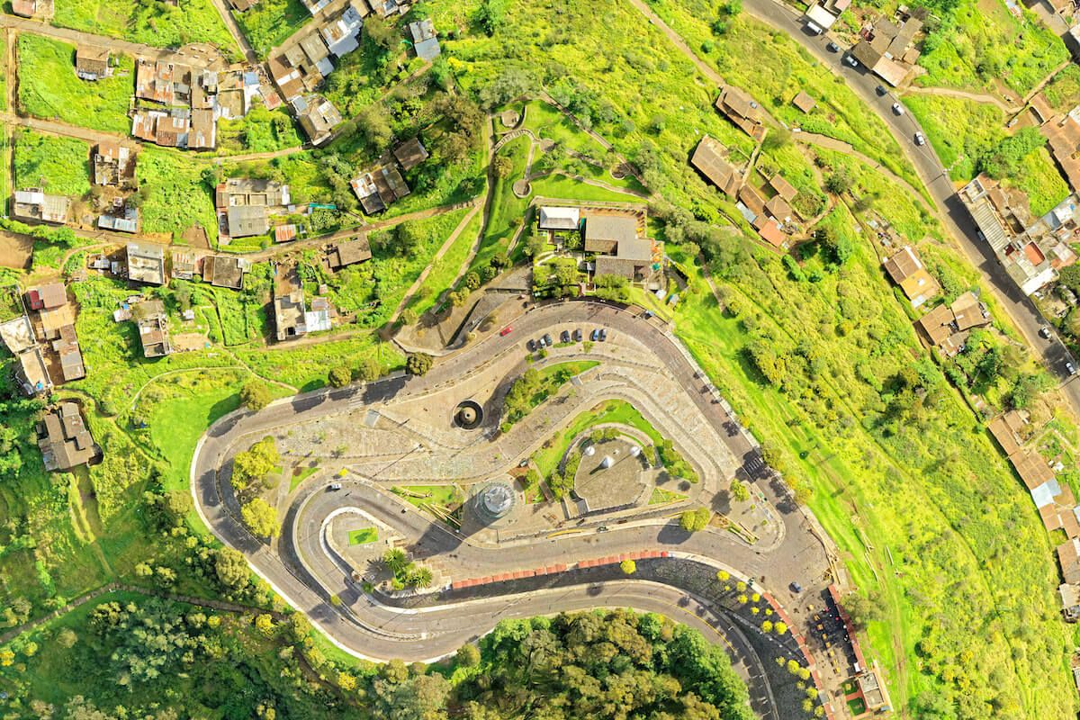
The use of drones to capture aerial imagery and create maps has become common in many industries, like construction, oil and gas, and telecom. Drones excel at capturing large areas quickly, accurately, and affordably, and photogrammetry software for converting photographs to 3D or orthomosaic maps keeps getting better.
But did you know that drone photogrammetry software is now capable of much more than stitching photos together? New software options enable users to take accurate measurements from maps and use AI to automatically identify objects and patterns, among other capabilities.
Here are some new and exciting ways UAV maps are being used across several industries:
Agriculture
For a precision agriculture approach, farmers use UAV technology to closely monitor crops and maximize profits.
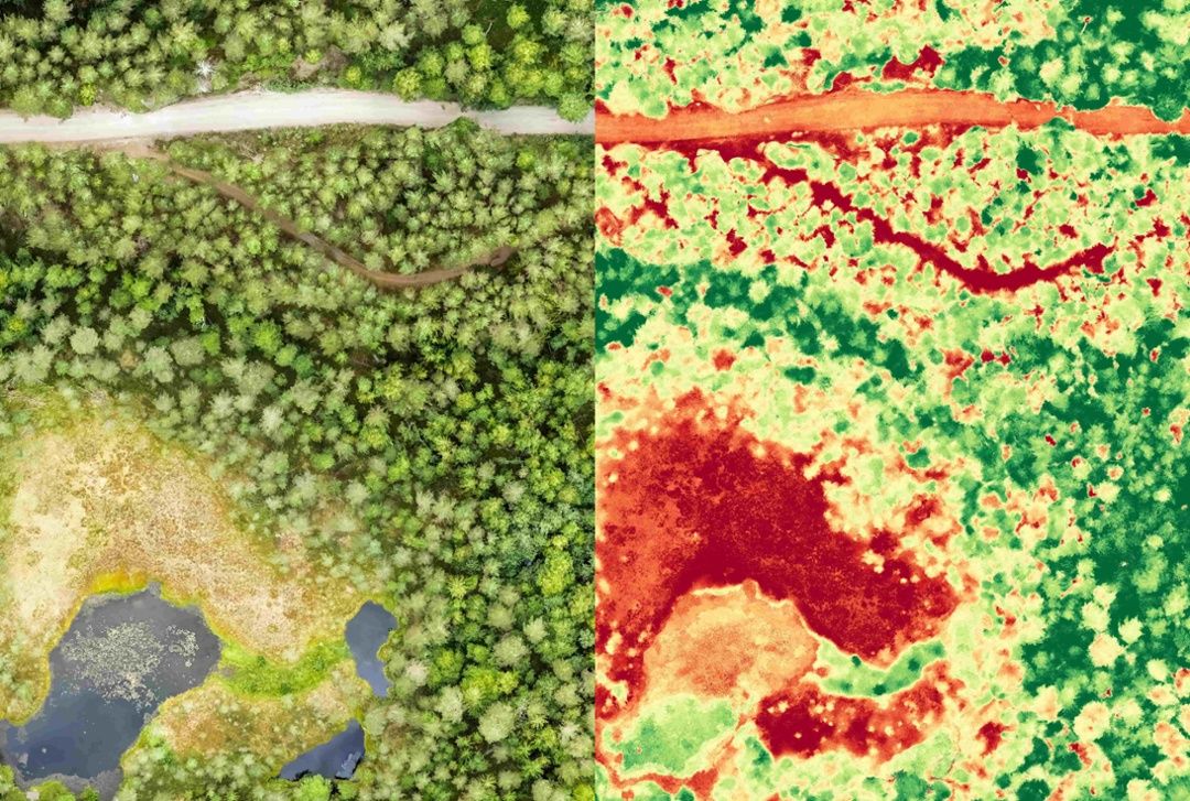
AI-driven photogrammetry tools can help farmers quickly assess the biomass of their crops — as well as key factors like drought stress, soil erosion, pests, and disease — by estimating volume and automatically identifying problem areas.
Farmers also use aerial maps to monitor irrigation systems, provide verification for crop insurance claims, and to make better replanting decisions.
Law Enforcement and First Responders
In emergencies, time is of the essence. UAV photogrammetry can be used to rapidly document crisis situations, such as natural disasters or traffic accidents.
The resulting maps are being leveraged by first responders to map out evacuation routes, plan tactical responses, assess damage, and improve public safety. Drones can be used to map areas that are too dangerous to access on foot, and mapping technology can provide more accurate measurements that could be critical to search and rescue operations, such as the speed and depth of flood waters.
Construction
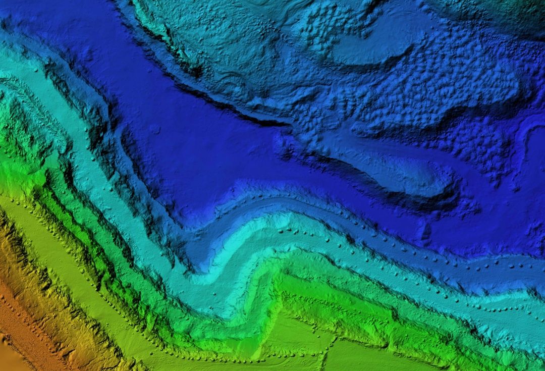
The construction industry was among the first to adopt drone photography, and they continue to drive innovation with new use cases. In addition to performing fly-overs and site surveys, UAV photogrammetry software can be used to accurately measure distance, elevation, and volume, such as the volume of soil moved during an earthworks project.
Oil and Gas
In the oil and gas industry, UAVs have been used for some time to replace manned aircraft in surveying large areas for pipeline construction and inspection.
Now, tools like AI object recognition have enabled oil and gas companies to use their aerial maps to automatically identify damage and leaks, accelerating remediation and limiting environmental impact.
Special cameras can even be used to capture damage that’s invisible to the naked eye, such as corrosion under insulation (CUI).
Learn more about drone solutions for the oil and gas industry.
Telecom and Energy
Electrical and telecom line work is one of the most dangerous jobs in the U.S., with 20.5 deaths per 100,000. Traditional methods for inspecting and repairing cell towers and power lines require dangerous climbs, putting workers at risk for falls and electrocution.
With UAV photogrammetry, these jobs are safer. Accurate 3D models help telecom and energy companies assess the safety of cell and transmission towers before sending up workers, so they can implement detailed repair plans and minimize unnecessary climbs.
Environmental Conservation
As with agriculture, special cameras and UAV processing technology can be used to record changes in the environment (e.g. landscape features, vegetation, soil erosion, pollution, water levels) in order to help scientists monitor ecological issues, assess the health of ecosystems, and focus conservation efforts.
In addition, detailed and accurate UAV maps are enabling scientists to perform in-depth assessments of environments that were previously too difficult to access.
Entertainment
UAV photogrammetry also has valuable uses in the entertainment industry. The rapid creation of 3D models helps with set design, visual effects, and animation in order to create more realistic, true-to-life experiences in TV shows, films, and video games.
Conclusion
As UAV technology becomes more widely available, more industries are finding creative uses for photogrammetry.
From making dangerous jobs safer to boosting profits to creating better-quality entertainment, UAV photogrammetry is transforming business.
Don’t get left behind — leverage drone technology to add value to your services.
Mapware provides state-of-the-art photogrammetry technology that can create bigger, more accurate maps. Learn more.
Join our mailing list to stay up to date on the latest releases, product features and industry trends.
Mapware needs the contact information you provide to us to contact you about our products and services. You may unsubscribe from these communications at any time. For information on how to unsubscribe, as well as our privacy practices and commitment to protecting your privacy, please review our Privacy Policy.


