Mapware: committed to innovation in environmental technology.
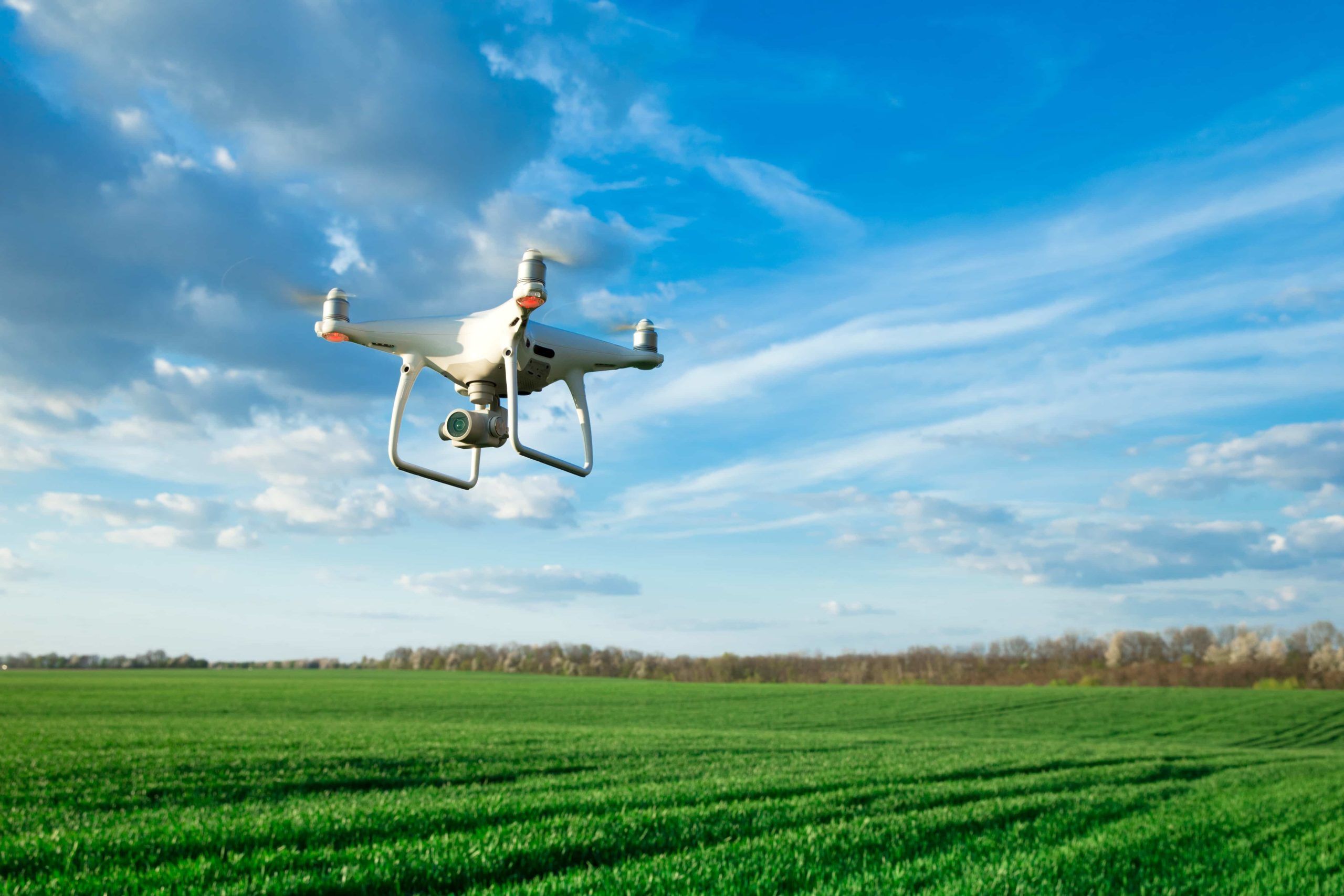
Drones, photogrammetry, and environmental protection
Our partnership with the U.S. Air Force
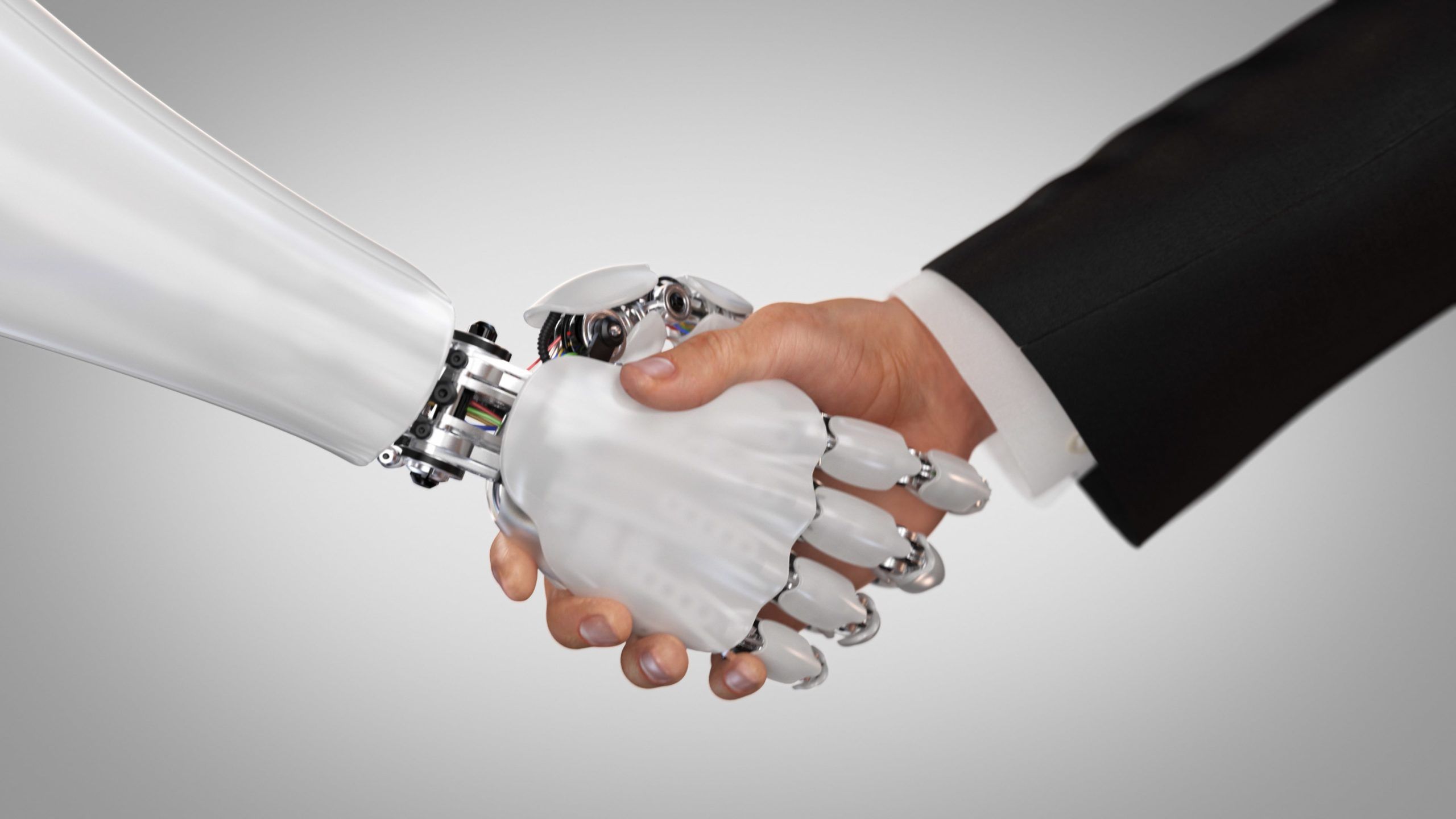
Mapware Wins $6 Million Air Force Award
Protecting endangered birds
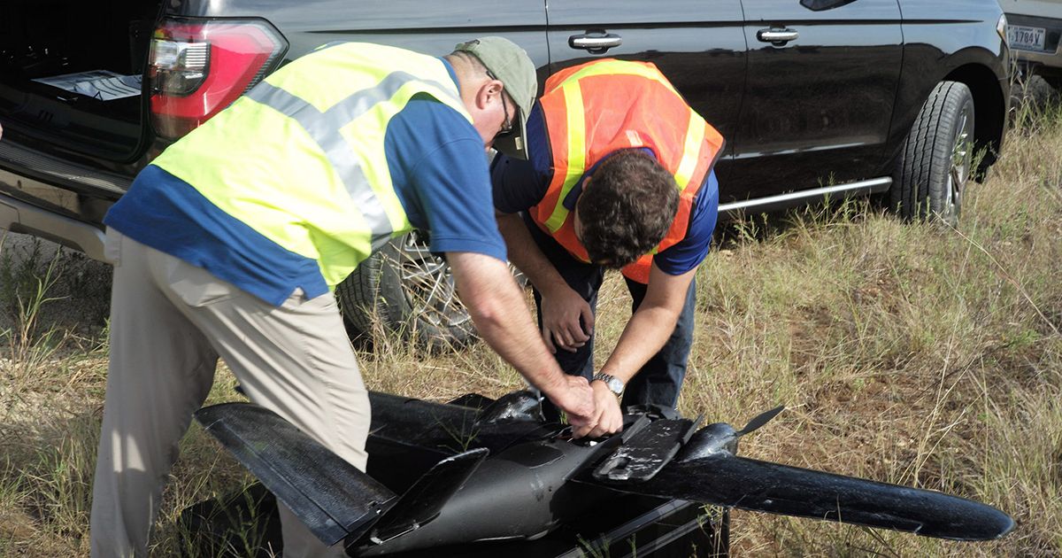
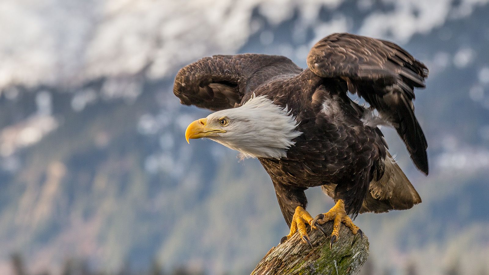
Mapware Is Helping the U.S. Air Force Protect Endangered Birds
A bird on the brink of extinction could benefit from advanced software that helps the U.S. Air Force monitor forests, tree health, and golden-cheeked warbler habitat. How …
Looking ahead: UAVs and Environmental monitoring
Monitoring animal species requires accurate population counts. AI-powered object recognition software gathers data faster and more accurately than humans, giving researchers a clearer path forward for wildlife conservation.
Drones are being used to photograph large areas of coastline and monitor erosion. Using photogrammetry software, researchers turn these photographs into high-resolution 3D maps that can be used to track erosion and model future changes.
From assessing oil spills to measuring toxic compounds in the air and water, monitoring environmental pollution can be a difficult and dangerous job. Pollution monitoring with drones is a safer alternative that researchers are using to gather data in areas that were previously too difficult to access.
Location, terrain, and vegetation all contribute to wildfire risk. Drone-powered wildfire prevention technology allows for continuous landscape and vegetation monitoring. This enables officials to identify high-risk areas and perform prescribed burns and other land maintenance to reduce risk.
Get in touch. Learn more.
Join our mailing list to stay up to date on the latest releases, product features and industry trends.
Mapware needs the contact information you provide to us to contact you about our products and services. You may unsubscribe from these communications at any time. For information on how to unsubscribe, as well as our privacy practices and commitment to protecting your privacy, please review our Privacy Policy.
