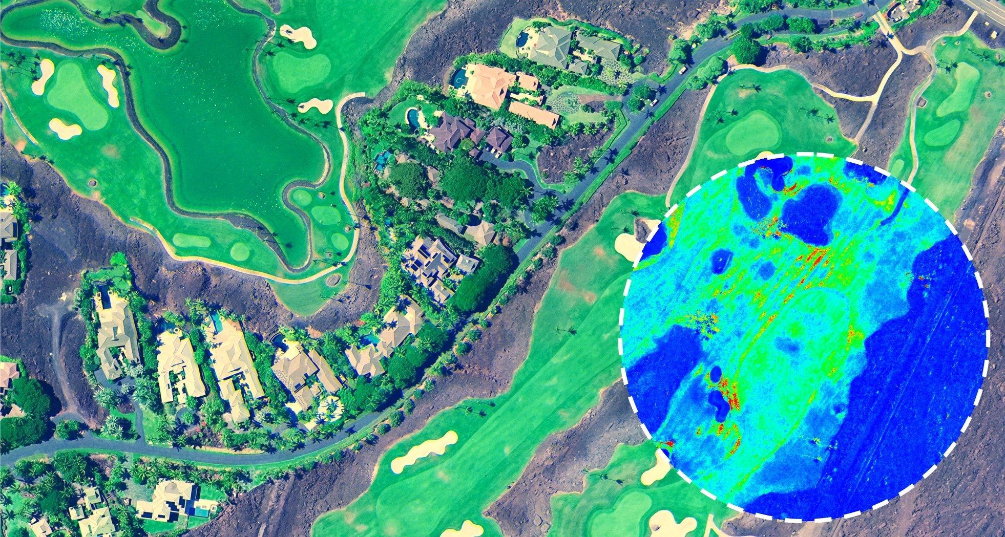
Mapware for Golf & Turf
Keep an eye on your entire property without stepping out the front door. Get high-res aerial imagery of your turf on demand, delivered straight to your web browser.
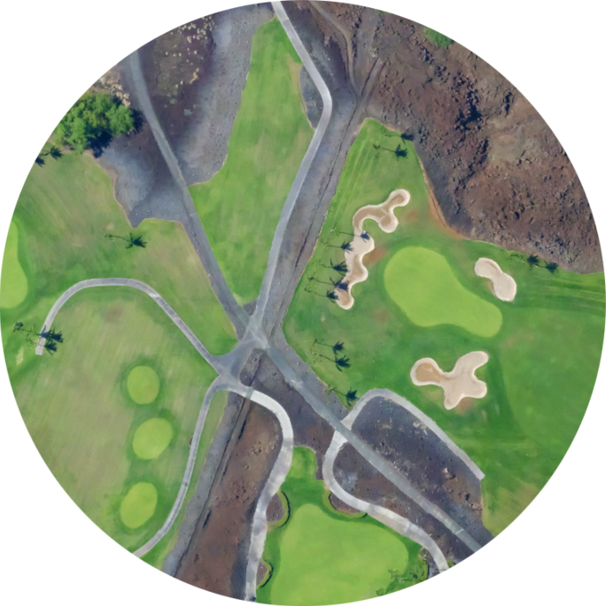
Explore High-Resolution Imagery
We’ll capture your property in immaculate detail with high-resolution aerial imagery and 10-band multispectral
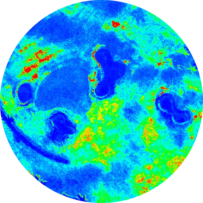
Monitor Turf Health
Catch problems early with plant health indices like NDVI and GNDVI
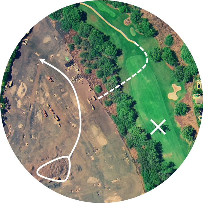
Plan Construction & Renovation
Get survey-grade maps, models, and contour lines to help you plan your next project
Get a bird’s eye view within days
Receive high-resolution multispectral maps of your entire property in a matter of days, not weeks
Uncover deeper insights with 10-band multispectral imaging and plant health indices
Aerial data capture can take as little as half an hour, minimizing disruption to players
See your property like never before
Explore maps and 3D models of your property at any time from your standard web browser
Keep track of damage, weeds, herbicide applications, and more in Mapware
Share high-resolution maps with stakeholders in just a few clicks
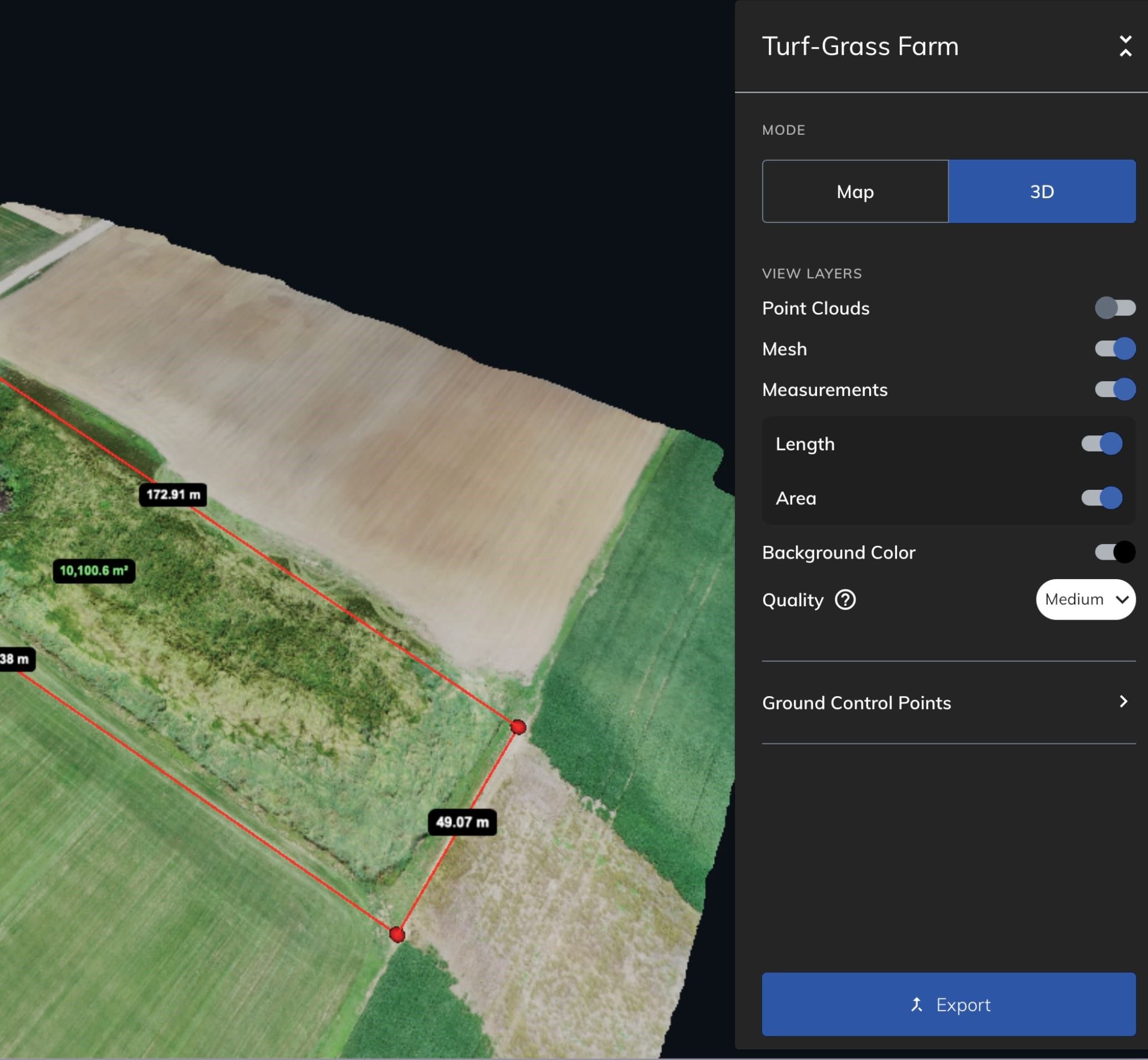
Better planning starts with better data
Orthomosaics, point clouds, and 3D models
10-band multispectral
Plant health indices
LiDAR
Thermal imagery
Contour lines
Digital elevation models & topographic surfaces
Cut/fill
Custom AI solutions
More data, more possibilities
Aerial surveying can make a big impact on golf course operations. Total visibility enables a range of new insights that can save time and money at dynamic golf properties.
Ready to explore the possibilities?
Learn about applications for aerial surveying in our free solution brief.
Ready to learn more?
Our team of US-based experts is more than happy to chat about your specific needs.
Join our mailing list to stay up to date on the latest releases, product features and industry trends.
Mapware needs the contact information you provide to us to contact you about our products and services. You may unsubscribe from these communications at any time. For information on how to unsubscribe, as well as our privacy practices and commitment to protecting your privacy, please review our Privacy Policy.
