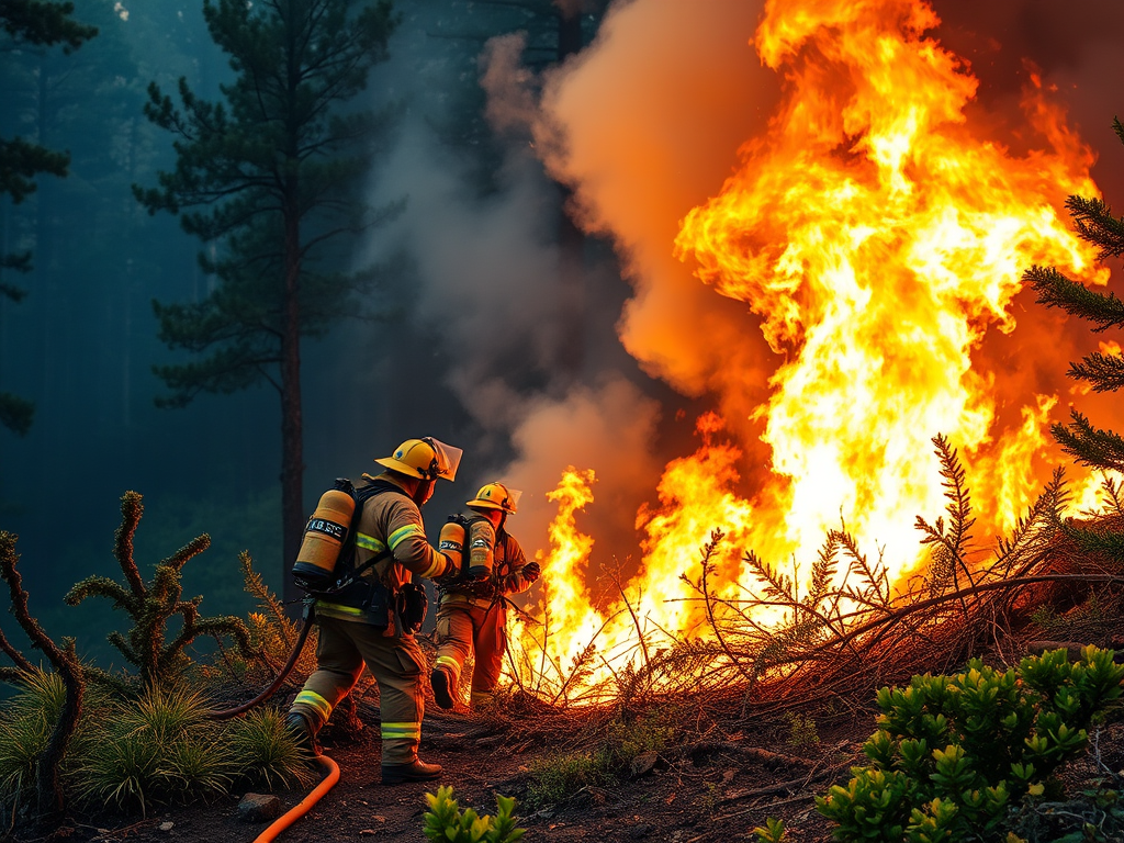

Fire Management
Equip firefighting teams, environmental agencies, and local governments with high-fidelity geospatial intelligence to effectively plan, mitigate, and respond to wildfires.
Services
Risk Mapping & Analysis
Harness high-resolution imagery and analytics to pinpoint fire-prone areas, forecast potential spread, and guide resource allocation.
Real-time Situational Awareness
Leverage Mapware’s live data feeds and dashboards for an up-to-date picture of fire progression, containment status, and emerging threats.
Post-Incident Assessment
Evaluate burn severity, track rehabilitation efforts, and monitor recovery over time using regularly updated geospatial layers.