Mapware for
Drone Operators
Mapware puts high-quality maps and models at your fingertips—whether you’re a photogrammetry pro or a first-time user.

Reach new heights with your drone business
Mapware’s easy-to-use technology is a great, low-risk option for any drone business. Mapware offers:
A streamlined user interface that’s easy to learn
Straightforward and intuitive project storage
Simple, flexible pricing options
Cloud storage included on every plan
Create high-quality photogrammetry products right away
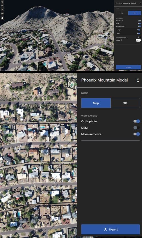
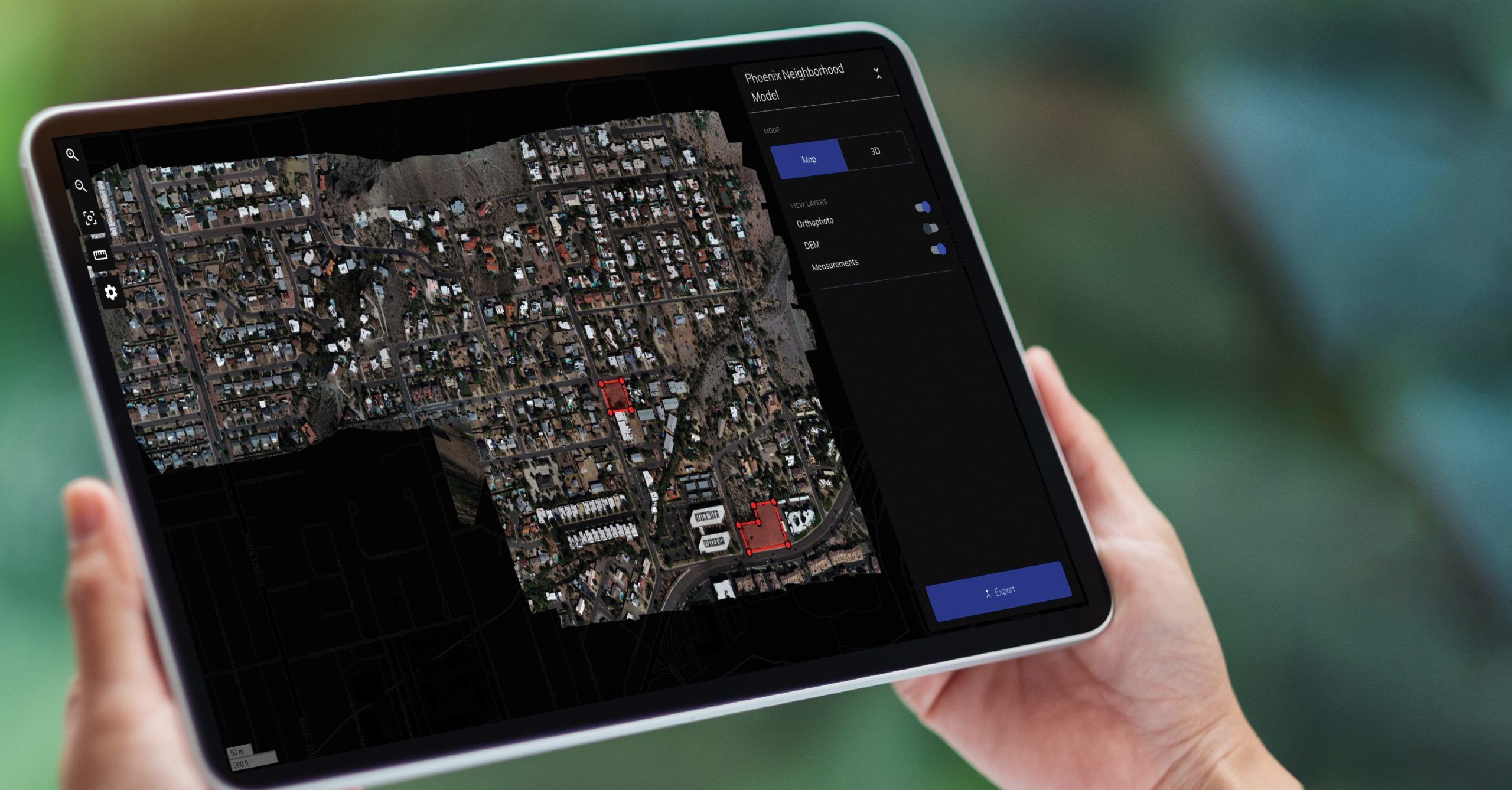
Mapware’s streamlined, no-fuss interface makes getting started easy. Create 3D models, digital elevation models (DEMs), and orthomosaics with just a few clicks. That means your pilots can focus on flying, not on user documentation and training.
Just getting started flying drones? Download our free guidebook to learn more about creating high-quality models.


Export formats
Dense point cloud (.las)
Digital Elevation Model (.tiff)
Orthomosaic (.tiff)
Mesh and texture (.obj)
No need to buy
new equipment
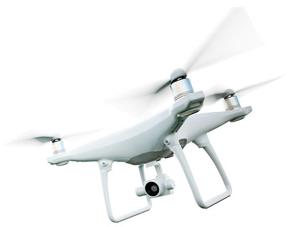
Mapware works with any camera drone.
Run Mapware from your laptop, tablet, or smartphone—all you need is an internet connection and a web browser.
Our cloud-based platform takes the burden off your machine. With GPU-accelerated processing, Mapware quickly produces high-resolution models.
Mapware will slot right into your existing workflow. Get in touch to learn about our support for custom software integrations.
Safeguard your data
Mapware is a powerful system of record for your raw drone photos, photogrammetry products, and more.
Mapware securely stores your models for as long as you want, at no extra cost. Check back in a year or a decade—Mapware will still show your valuable data.
Mapware is fully US-based, including our software, cloud storage, engineering, program management, and technical support.
Working for the US government? Contact us for deployment on our secure government cloud platform.

Simple, flexible pricing
Whether you’re new to drone mapping or a veteran pilot, our subscription options are designed to give you exactly what you need.
With Mapware, you’ll get the enterprise experience without the high upfront investment. Mapware’s cloud storage, super-fast processing, unlimited GCPs, and more are included at every pricing tier.
Join our mailing list to stay up to date on the latest releases, product features and industry trends.
Mapware needs the contact information you provide to us to contact you about our products and services. You may unsubscribe from these communications at any time. For information on how to unsubscribe, as well as our privacy practices and commitment to protecting your privacy, please review our Privacy Policy.