Mapware for Agriculture
Mapware makes it easy to grow your agricultural business with drones. Simplify inspections and make smarter planting decisions with Mapware’s easy-to-use tools.

Precision agriculture within reach
With Mapware’s powerful suite of tools for drone mapping, any farm or ranch can adopt cutting-edge precision agriculture techniques.
Mapware’s flexible subscriptions and no-extra-cost cloud storage are designed to grow with your needs.
Inspect, understand and plan
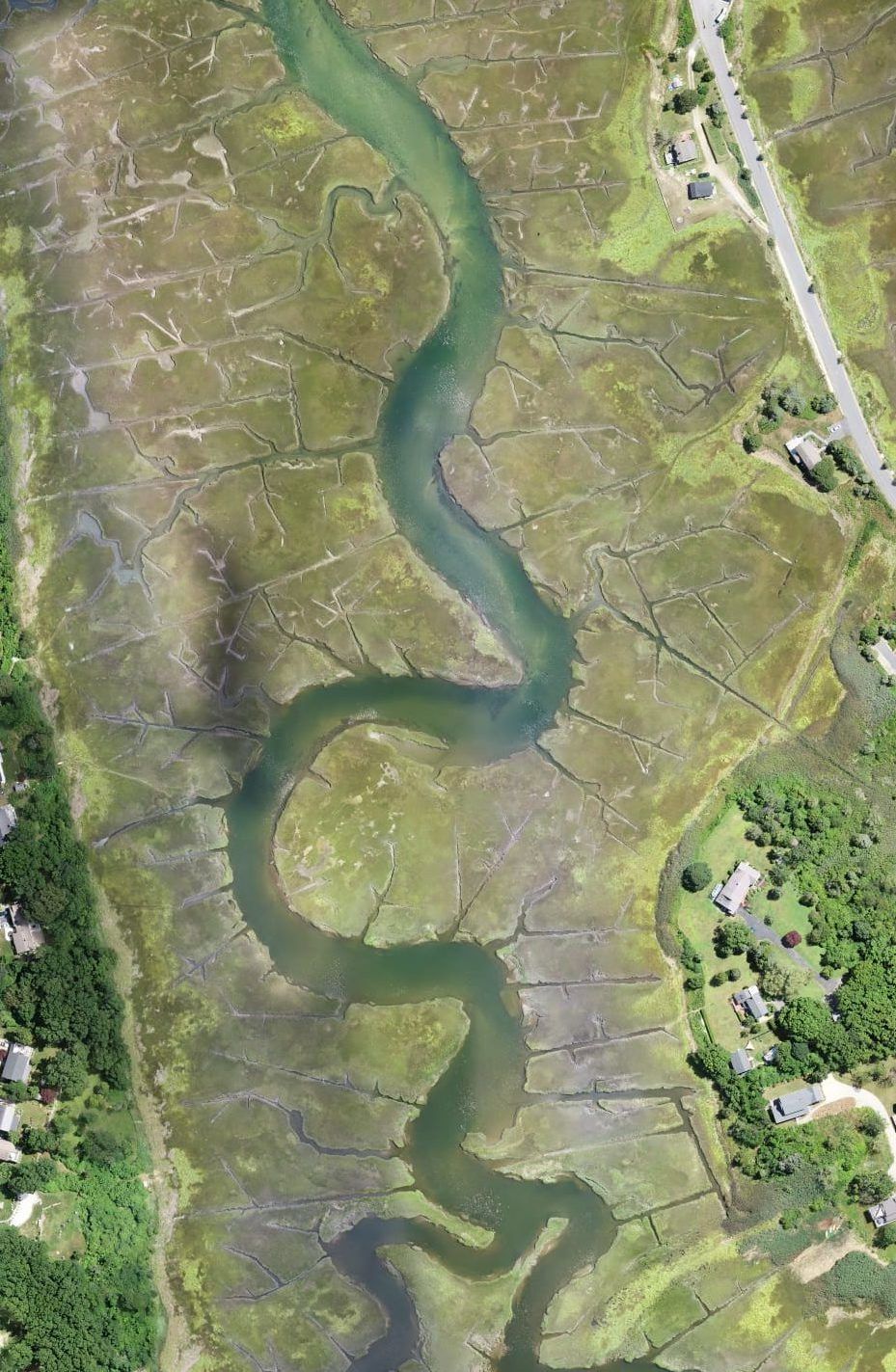
Use high-res maps to plan your next action, whether it’s deciding how much fertilizer to order or building a new greenhouse.
Plan irrigation and planting with drone maps of your fields—no need for a costly manual survey.
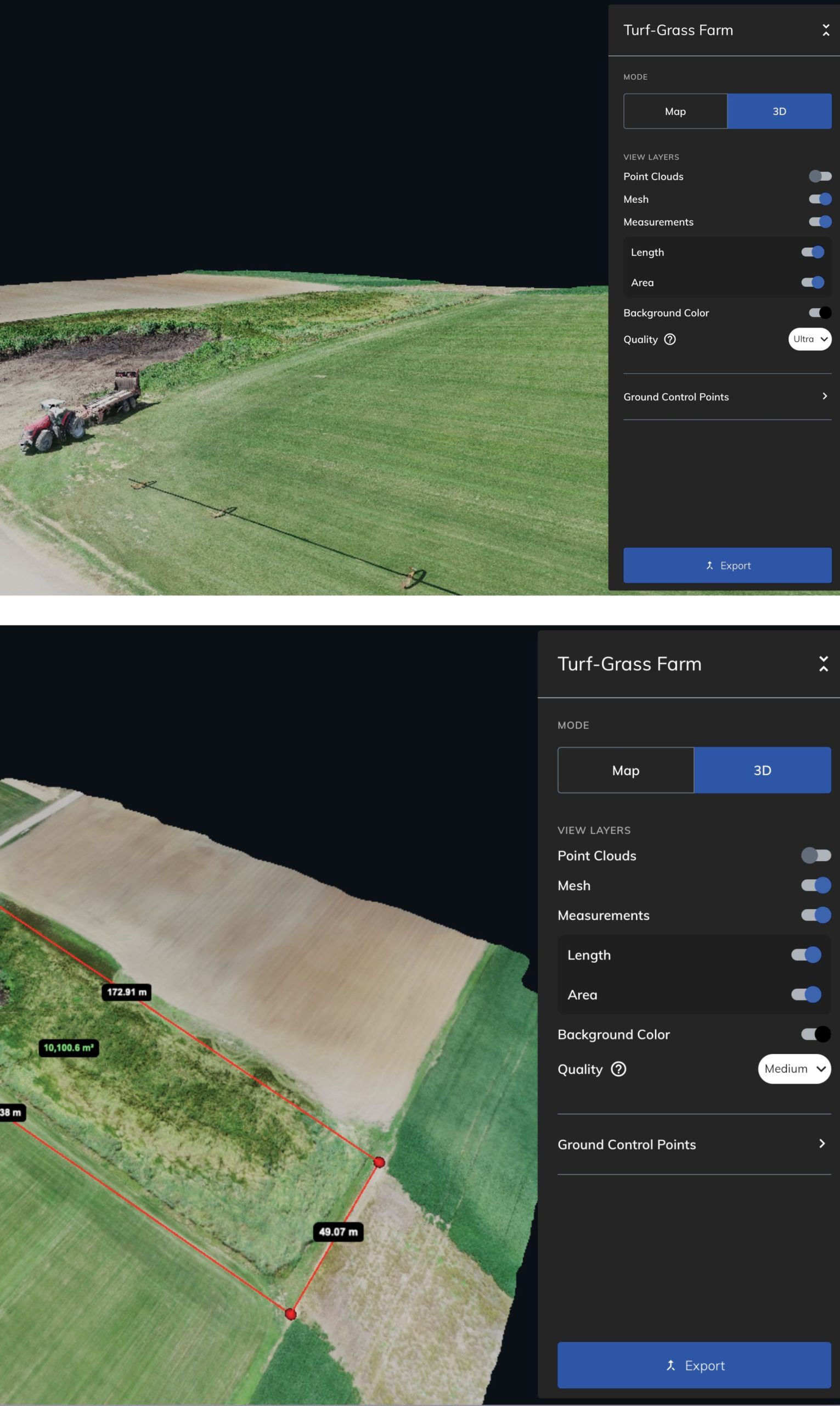
Measure your land, infrastructure, feed, supplies, and more with Mapware’s suite of measurement tools.
Quickly assess weather, fire, or other damage without putting your personnel at risk. With Mapware’s fast processing, you can kick off recovery efforts and submit insurance claims soon after the damage is done.


Store and share maps
Mapware stores your models for as long as you want, at no extra cost. Check back in a year or a decade—Mapware will still show your valuable data.
Track erosion, new construction, irrigation changes, and more. Mapware makes it easy to organize your models to drive data-informed decisions.
Make sure your whole team is on the same page. With Mapware, you can easily share your models with stakeholders, organized into teams with access levels that support your workflow.
Mapware offers a variety of export formats so you can bring your point clouds, digital elevation models (DEMs), orthomosaics, and meshes into the next stage of your workflow.
Simple and easy to use on any device
Mapware’s streamlined, no-fuss user interface makes it easy to get started.
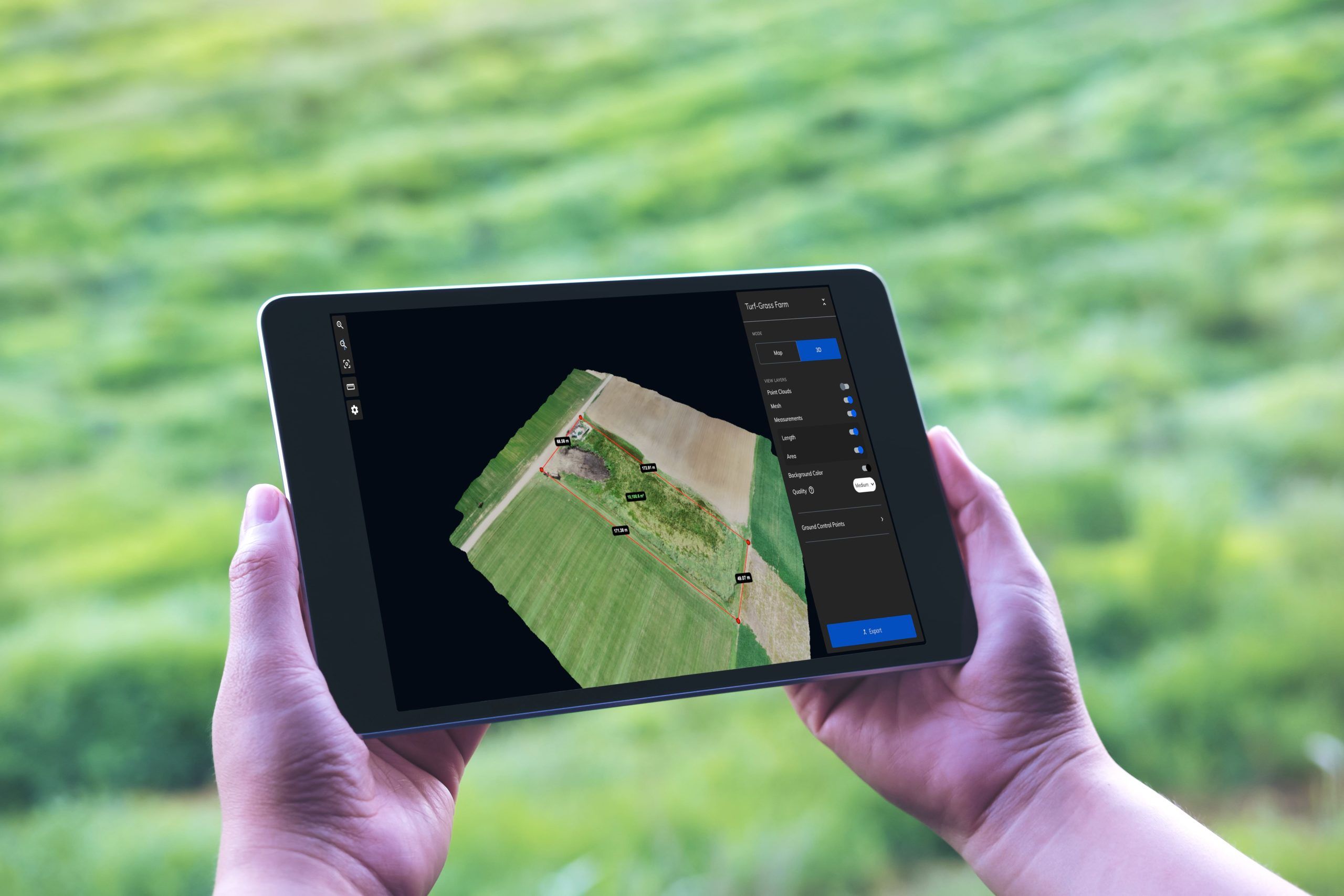
Whether you’re at a desk or out in the field, Mapware will show you a detailed, bird’s-eye view of your land. Mapware works on any device with an internet connection, including tablets and phones.
No need to download any new software—use Mapware with your standard internet browser.

Simple, flexible pricing
Whether you’re new to drone mapping or a veteran pilot, our subscription options are designed to give you exactly what you need to start using drones to grow your agriculture business.
With Mapware, you’ll get the enterprise experience without the high upfront investment. Mapware’s cloud storage, super-fast processing, unlimited GCPs, and more are included at every pricing tier.
Join our mailing list to stay up to date on the latest releases, product features and industry trends.
Mapware needs the contact information you provide to us to contact you about our products and services. You may unsubscribe from these communications at any time. For information on how to unsubscribe, as well as our privacy practices and commitment to protecting your privacy, please review our Privacy Policy.