
Explore High-Resolution Imagery
We’ll capture your property in immaculate detail with high-resolution aerial imagery and 10-band multispectral

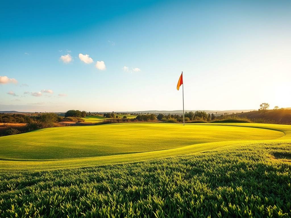
Monitor Turf Health
Catch problems early with plant health indices like NDVI and GNDVI

Plan Construction & Renovation
Get survey-grade maps, models, and contour lines to help you plan your next project

Get a bird’s eye view within days
- Receive high-resolution multispectral maps of your entire property in a matter of days, not weeks
- Uncover deeper insights with 10-band multispectral imaging and plant health indices
- Aerial data capture can take as little as half an hour, minimizing disruption to players
See your property like never before
- Explore maps and 3D models of your property at any time from your standard web browser
- Keep track of damage, weeds, herbicide applications, and more in Mapware
- Share high-resolution maps with stakeholders in just a few clicks

Better planning starts with better data
Orthomosaics, point clouds, and 3D models
LiDAR
Digital elevation models & topographic surfaces
Thermal imagery
10-band multispectral
Cut/Fill
Plant health indices
Contour lines
Custom AI solutions
More data, more possibilities
Aerial surveying can make a big impact on golf course operations. Total visibility enables a range of new insights that can save time and money at dynamic golf properties.
Ready to explore the possibilities?
Learn about applications for aerial surveying in our free solution brief.
