Mapware for Government
Drone mapping, data, and insights built for the federal, state, and local sectors.

Drone mapping for the most demanding situations
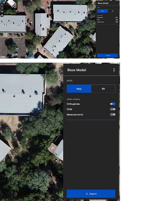
Easily turn aerial photographs into high-resolution 3D models, orthomosaics, and digital elevation models.
Mapware is a fully US-based, secure platform ready to meet the needs of government customers.
Rapid, actionable insights for your unique mission


A proven tool for geospatial intelligence
Securely built with the public sector in mind
Works on any device with an internet connection
Deployable on all secure cloud services
Intuitive and easy to use with minimal training
Easily and securely collaborate and share maps with key stakeholders
Customizable options built for your organization. Contact us for AI/ML solutions, tailored integrations, and custom deployments

Learn more about our work with the US Air Force
“Mapware has been a fantastic and talented partner and are well positioned to deliver this advanced drone imagery and machine learning capability for multiple installation and mission support enterprise uses.”
Former AFIMSC Chief Innovation Officer Marc Vandeveer
Complete geospatial intelligence solutions for America’s most critical missions

Mapware provides advanced geospatial intelligence solutions for the US Air Force and the US Army Corps of Engineers.

Get a fully American solution to your geospatial needs. Our cloud hosting, engineering, program management, and technical support are all based in the United States.

Take advantage of tailored solutions, including custom deployments, integrations, and AI/ML-powered analytics.
Contact us for more information.
Join our mailing list to stay up to date on the latest releases, product features and industry trends.
Mapware needs the contact information you provide to us to contact you about our products and services. You may unsubscribe from these communications at any time. For information on how to unsubscribe, as well as our privacy practices and commitment to protecting your privacy, please review our Privacy Policy.